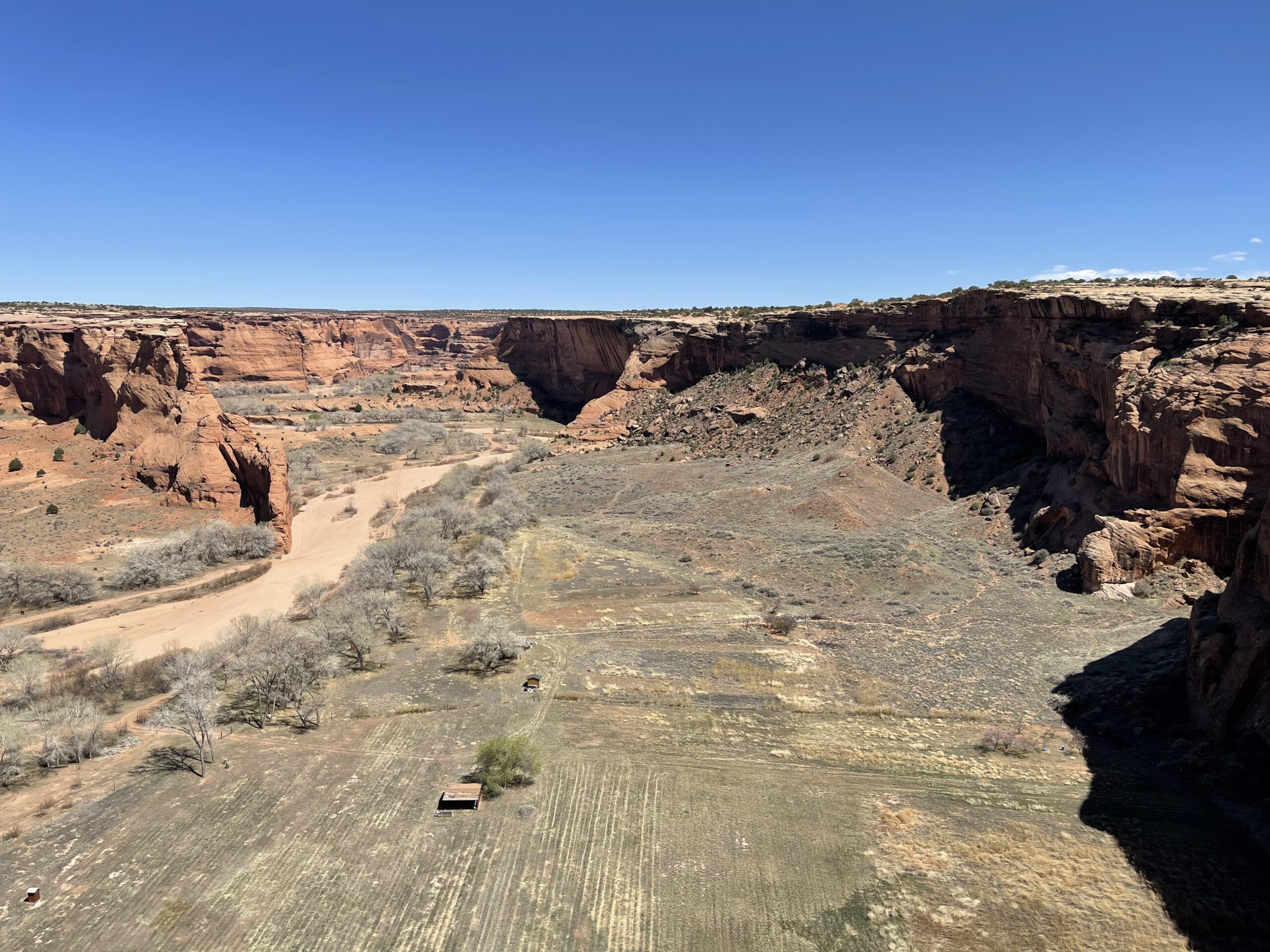
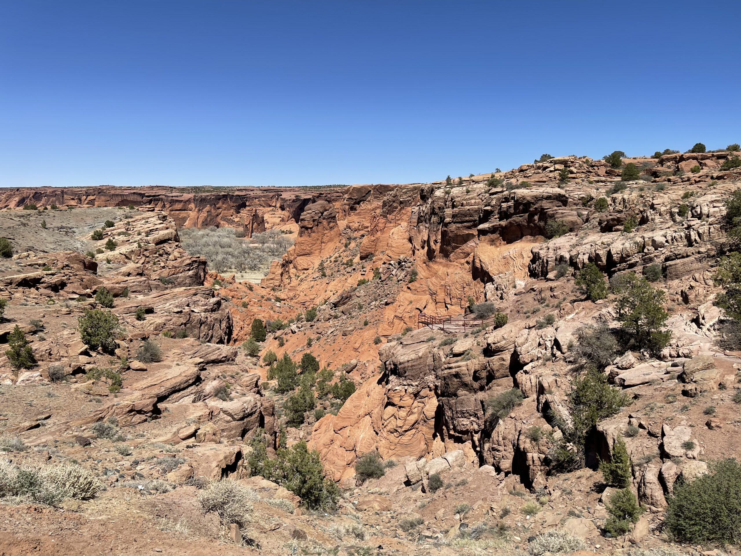
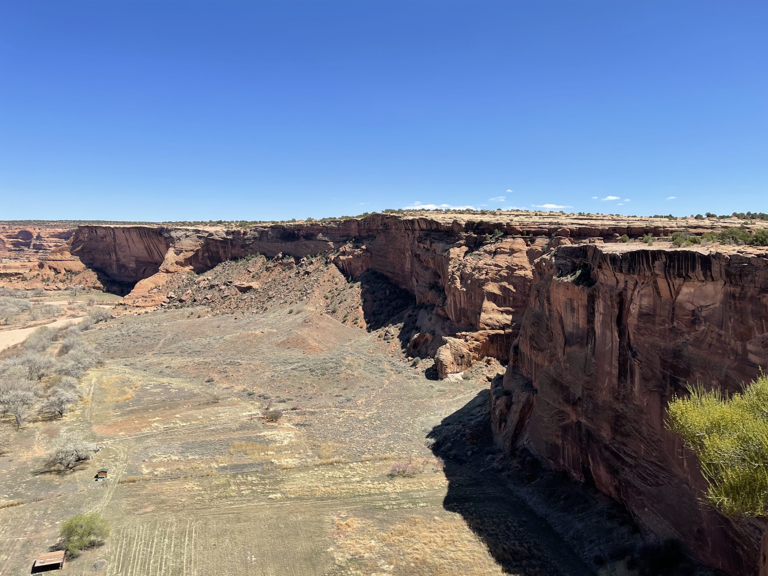
After travelling Southward through Monument Valley, I made my way to the East side of the state. I drove through the Navajo nation to Canyon de Chelley National Monument, which I’d heard great things about. Unfortunately, the park was closed, with access to the attractions barred, although I was allowed to drive though.

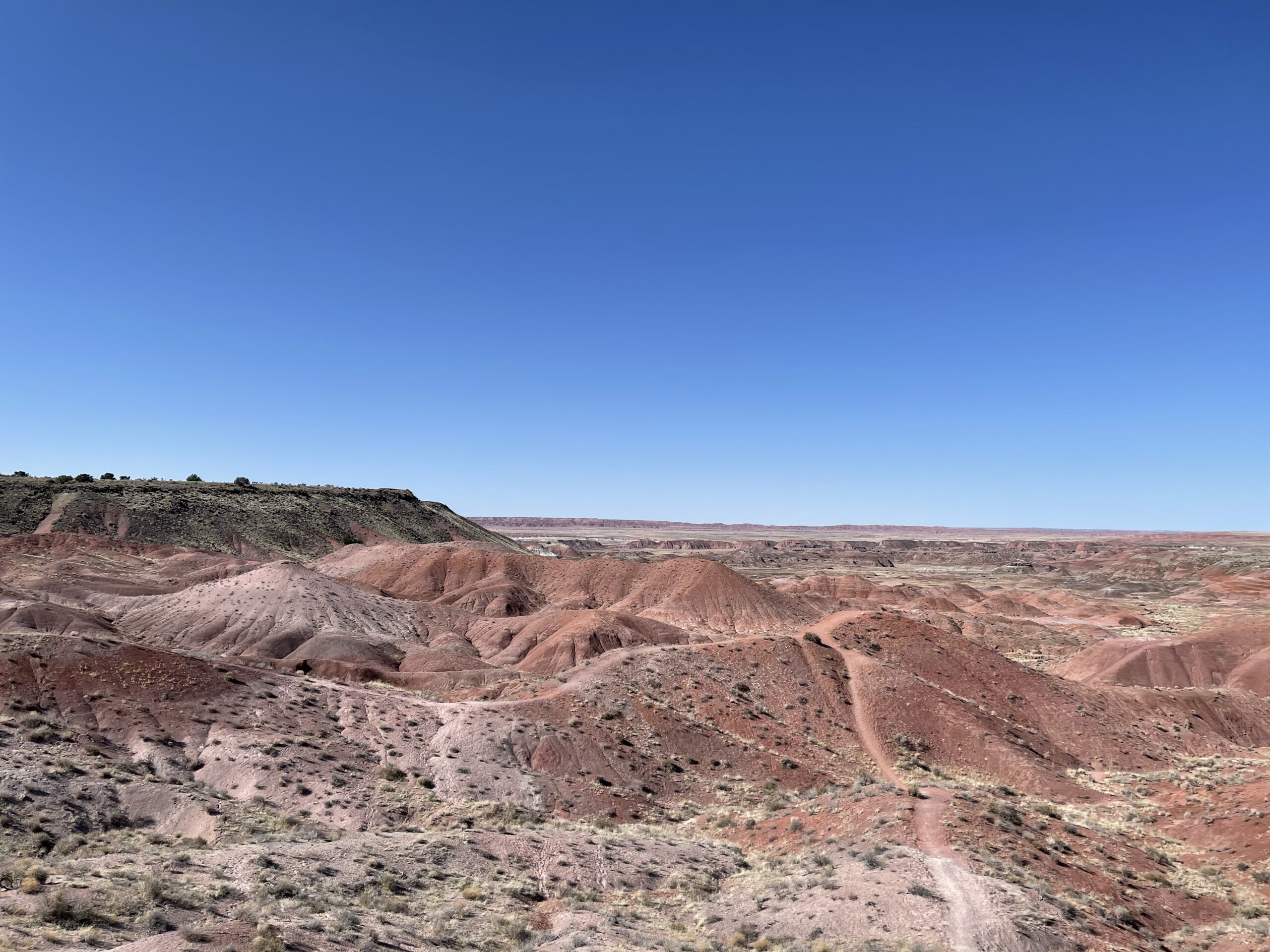
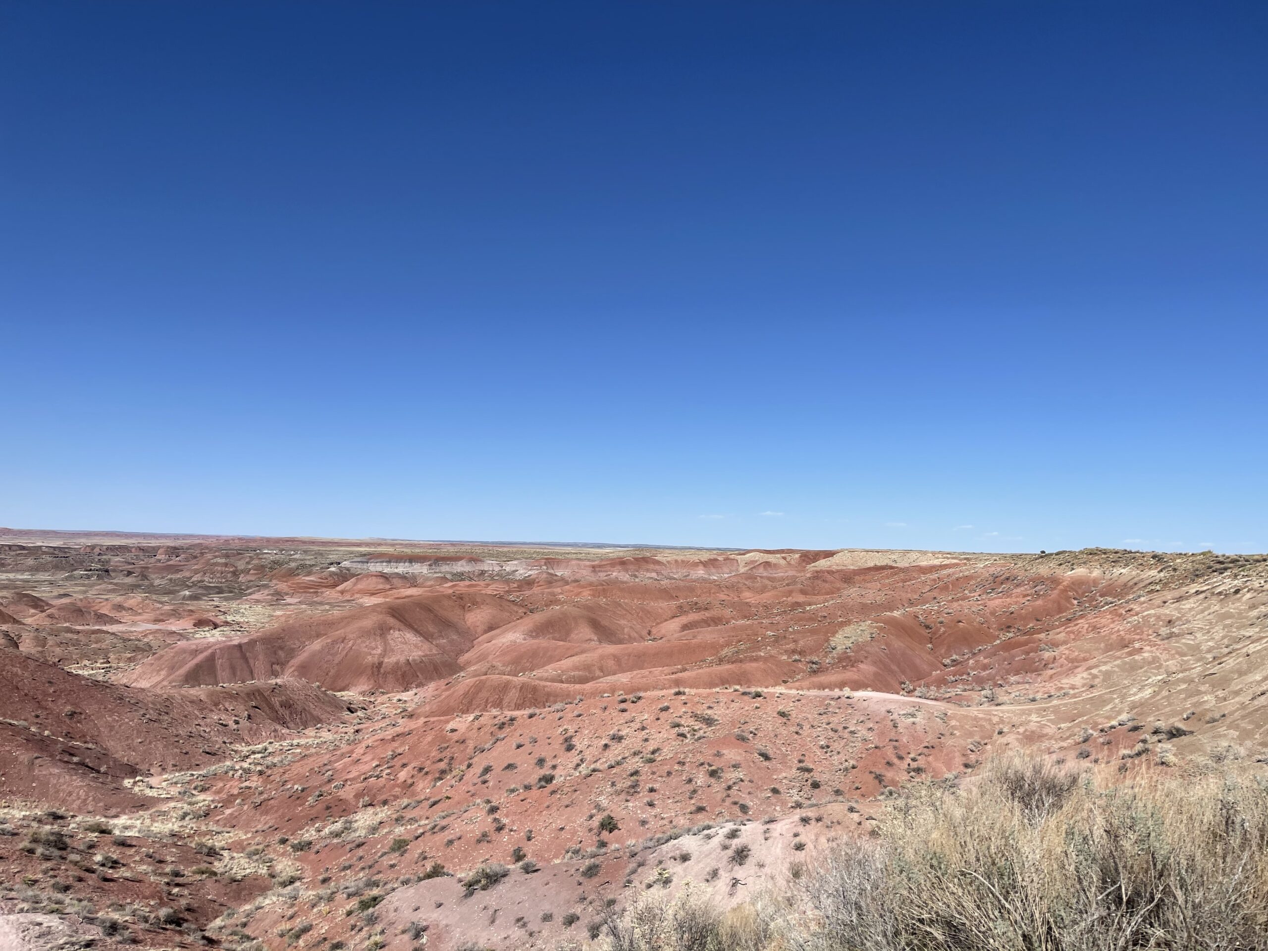
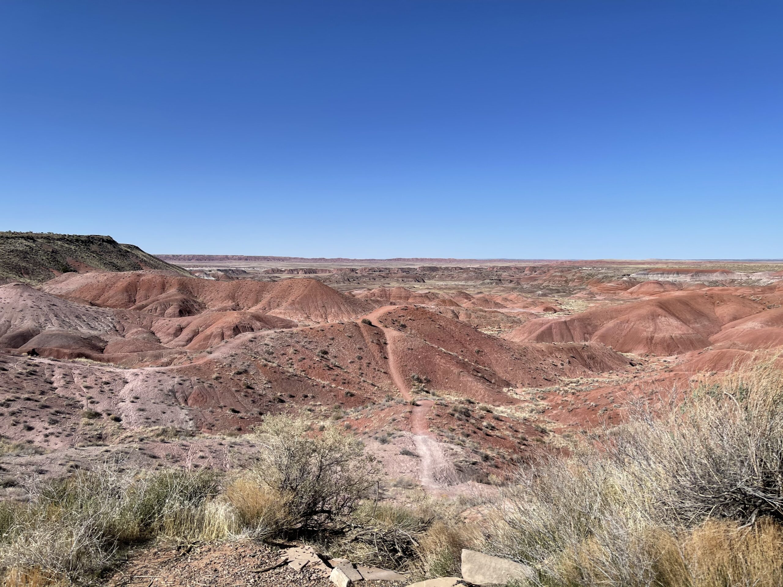
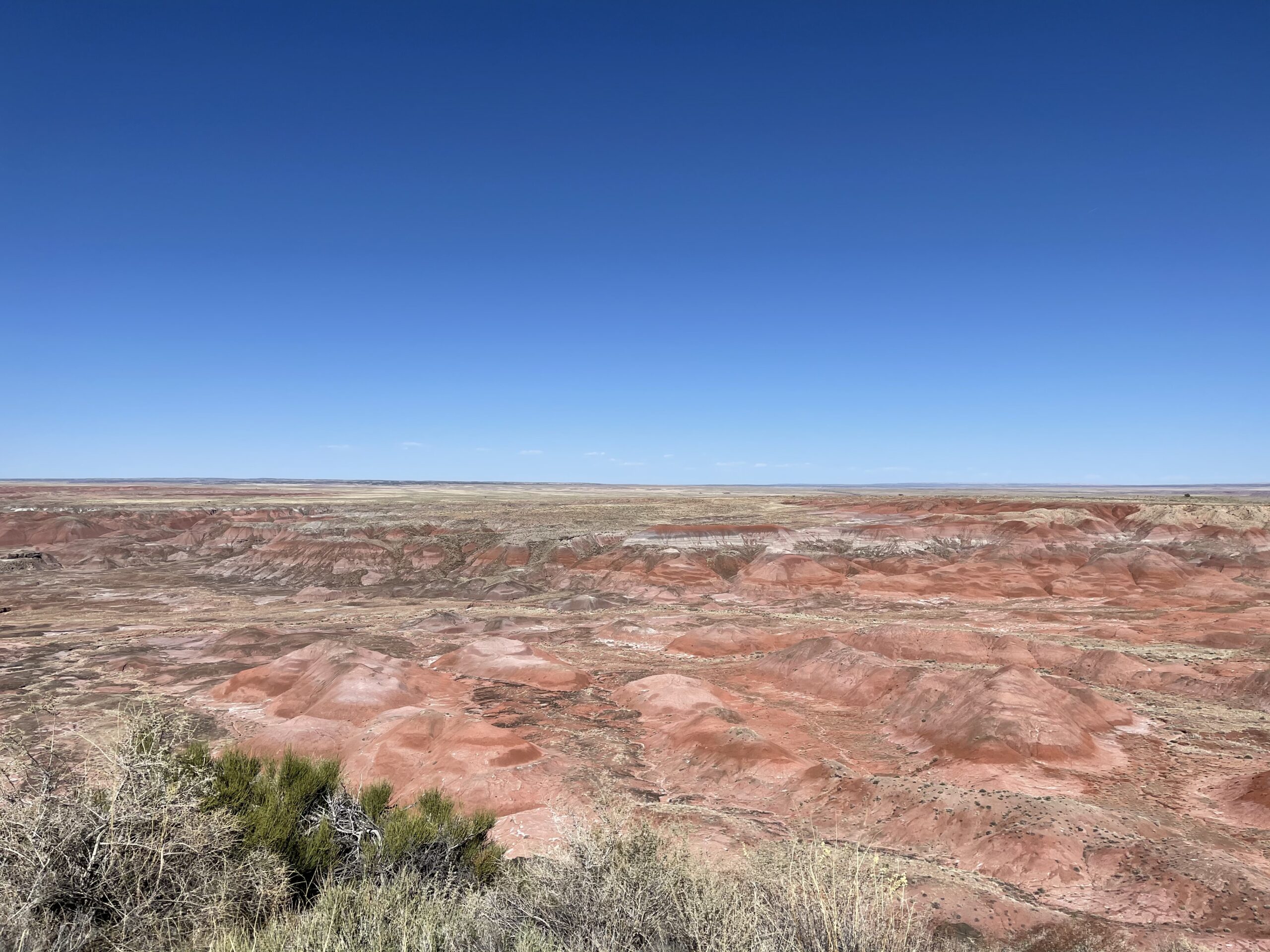
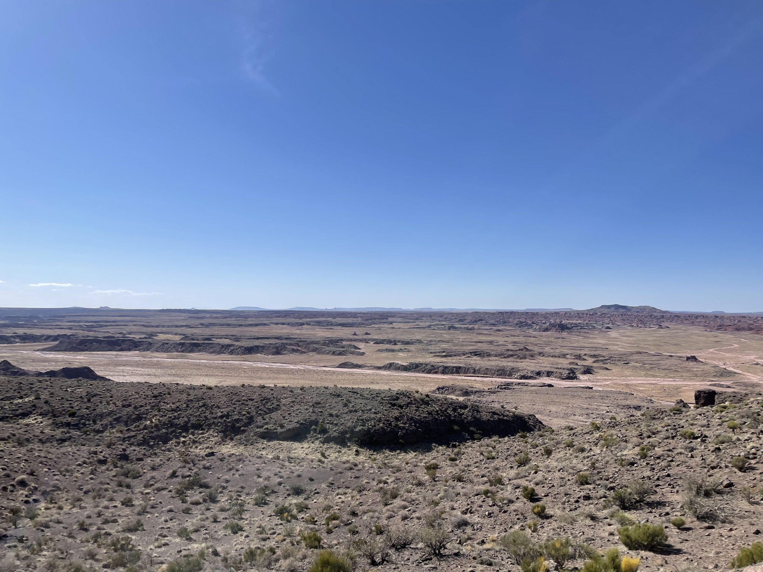
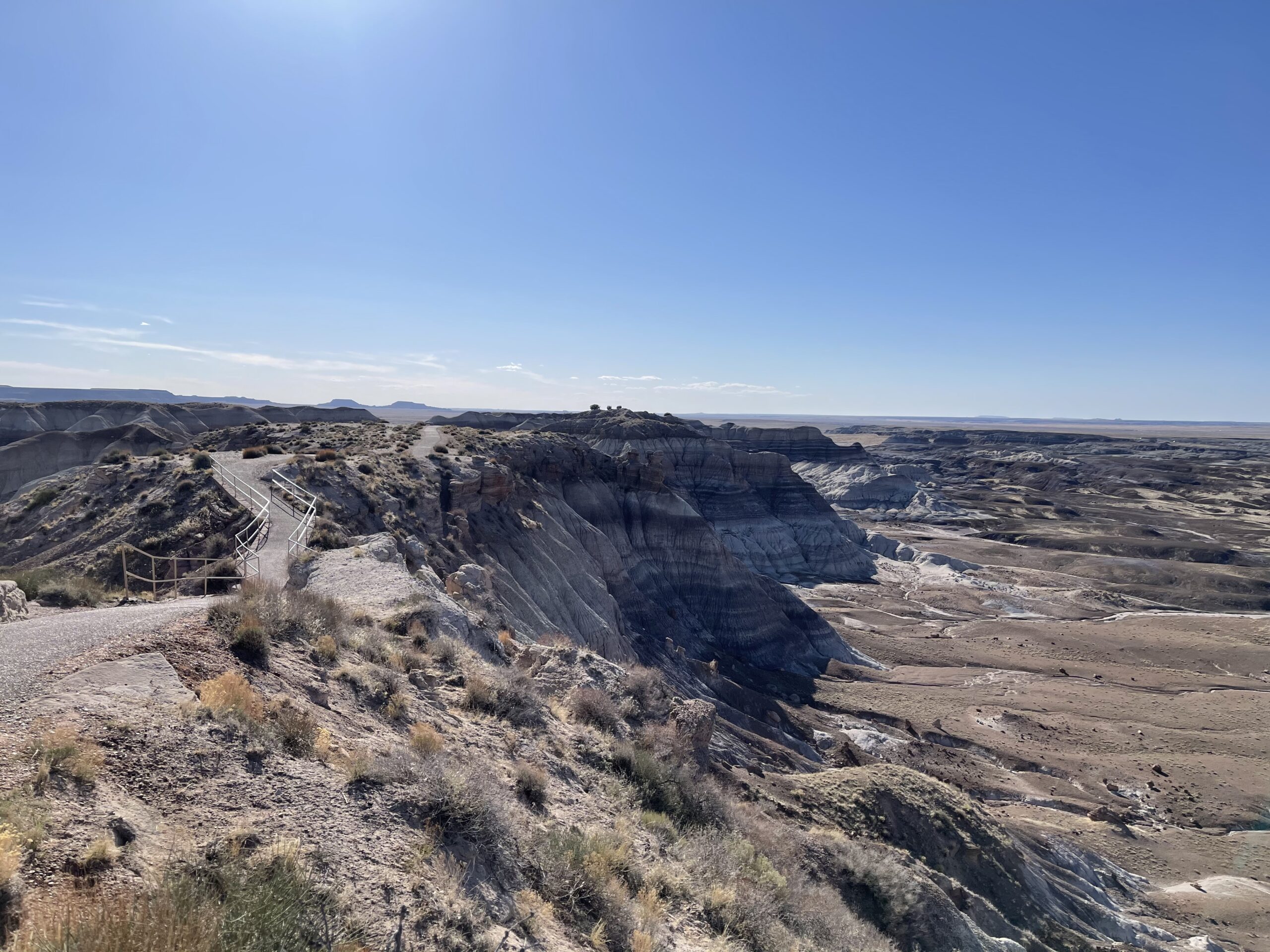
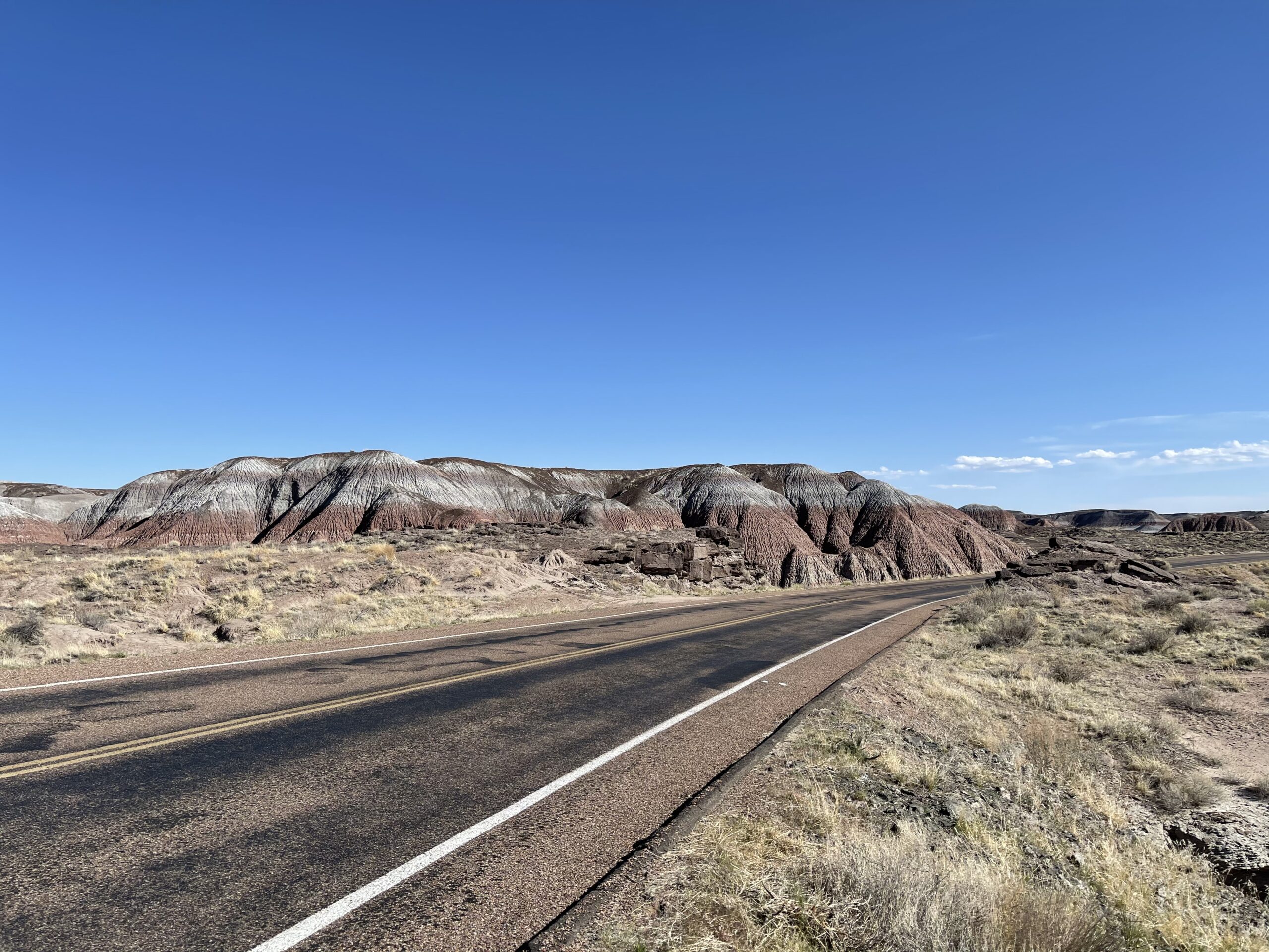
It was a long drive continuing South to make it to the Petrified Forest National Park, alongside the Painted Desert. Fantastic views abounded, with me entering from the side of the park with the Painted Desert first, boasting views of weathered dunes with various colors and sediments.


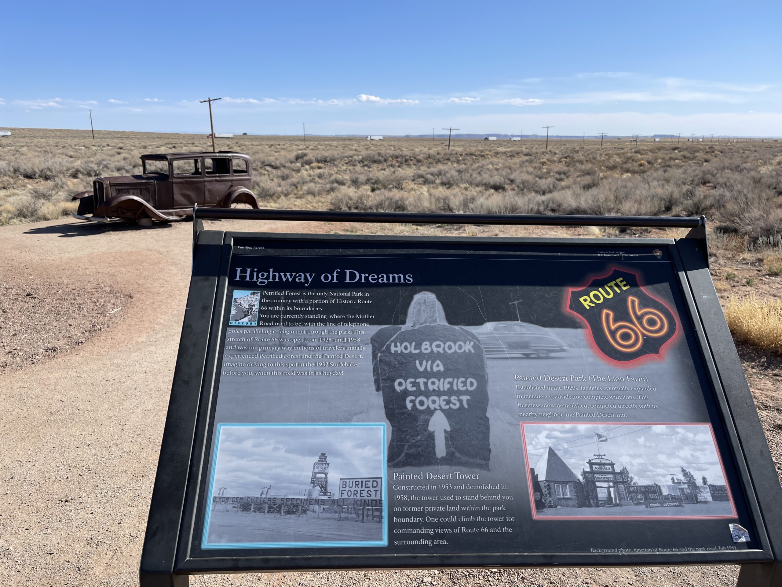
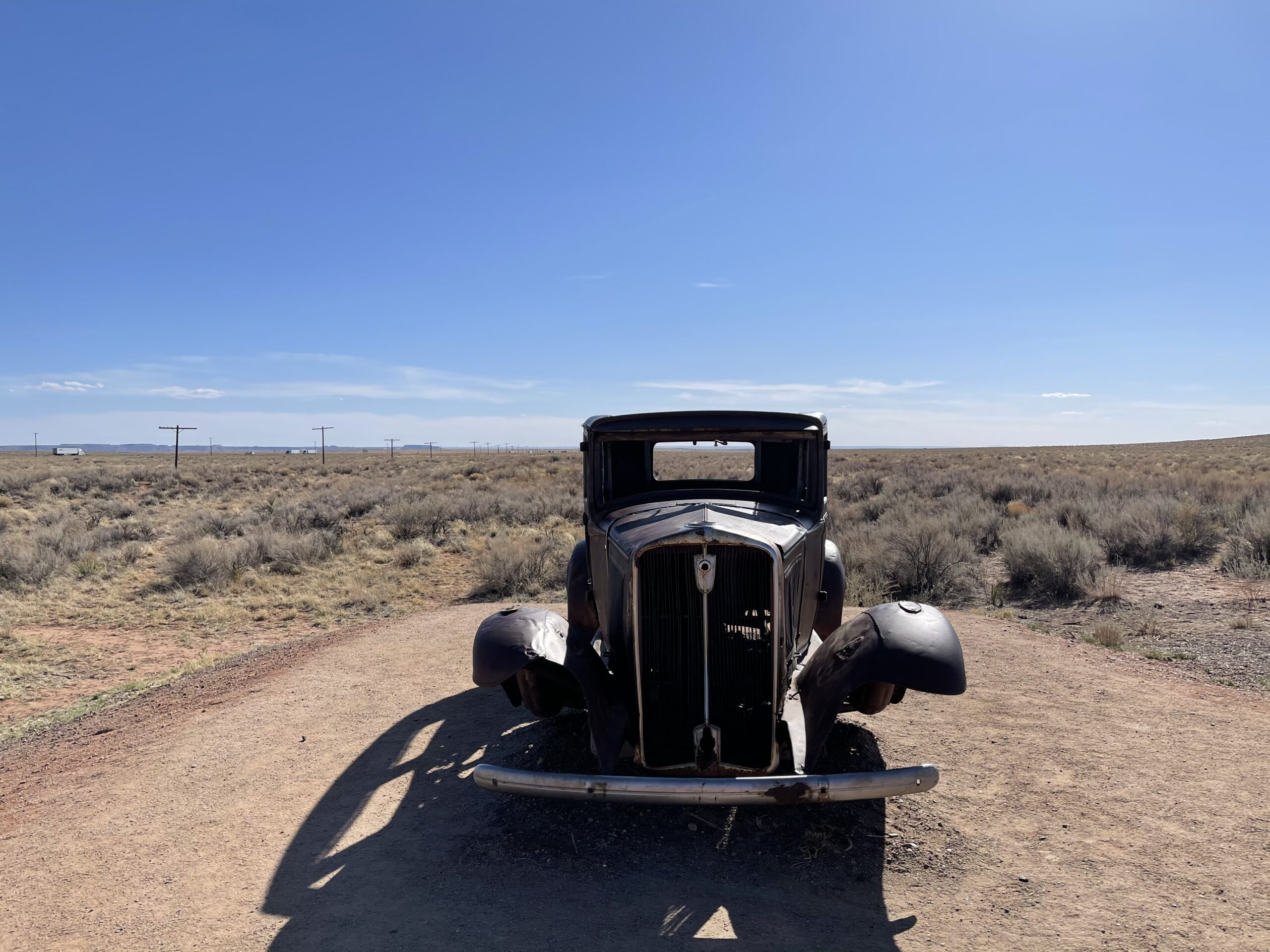
I continued along the scenic drive and passed by the original Route 66.

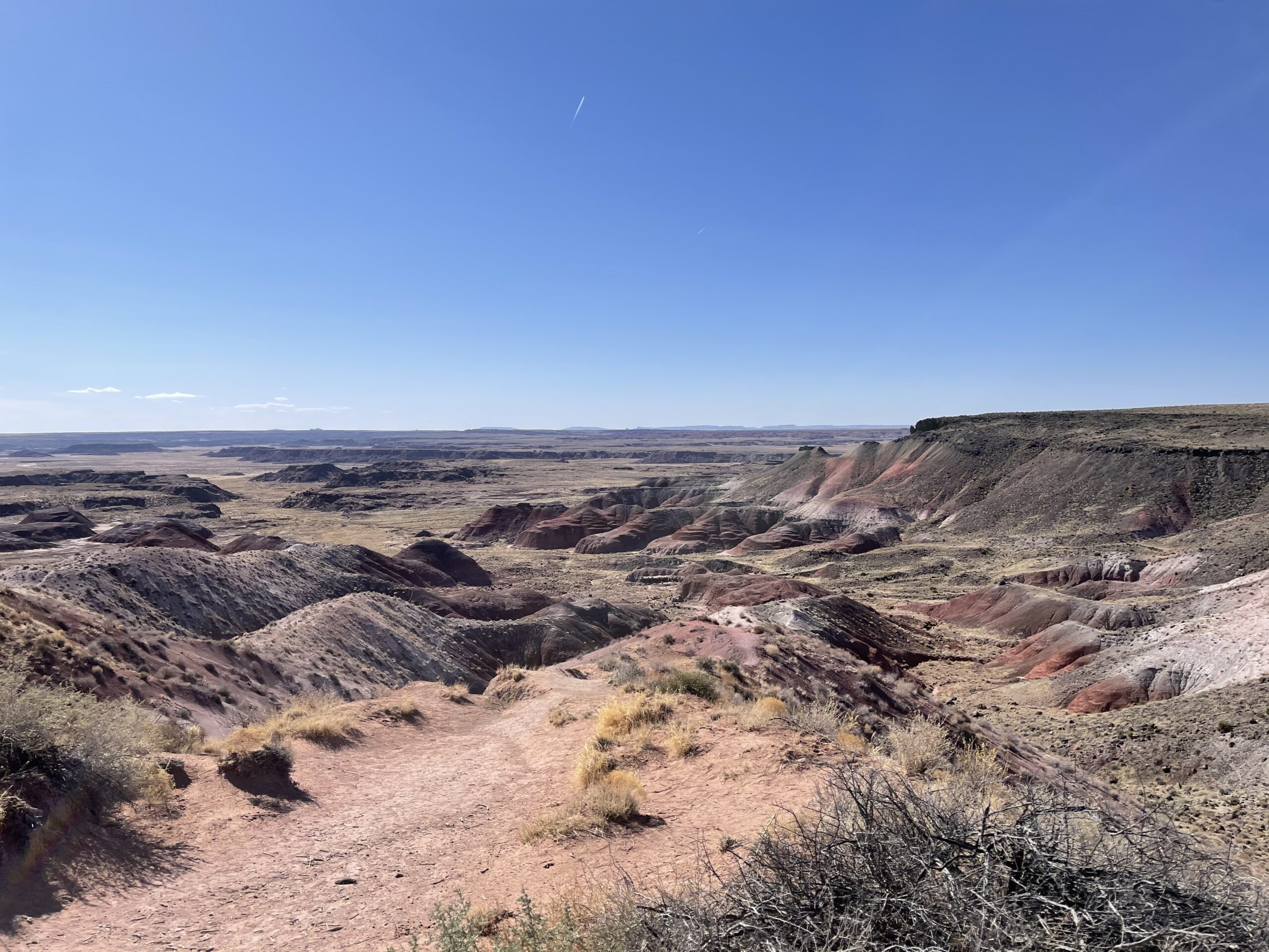
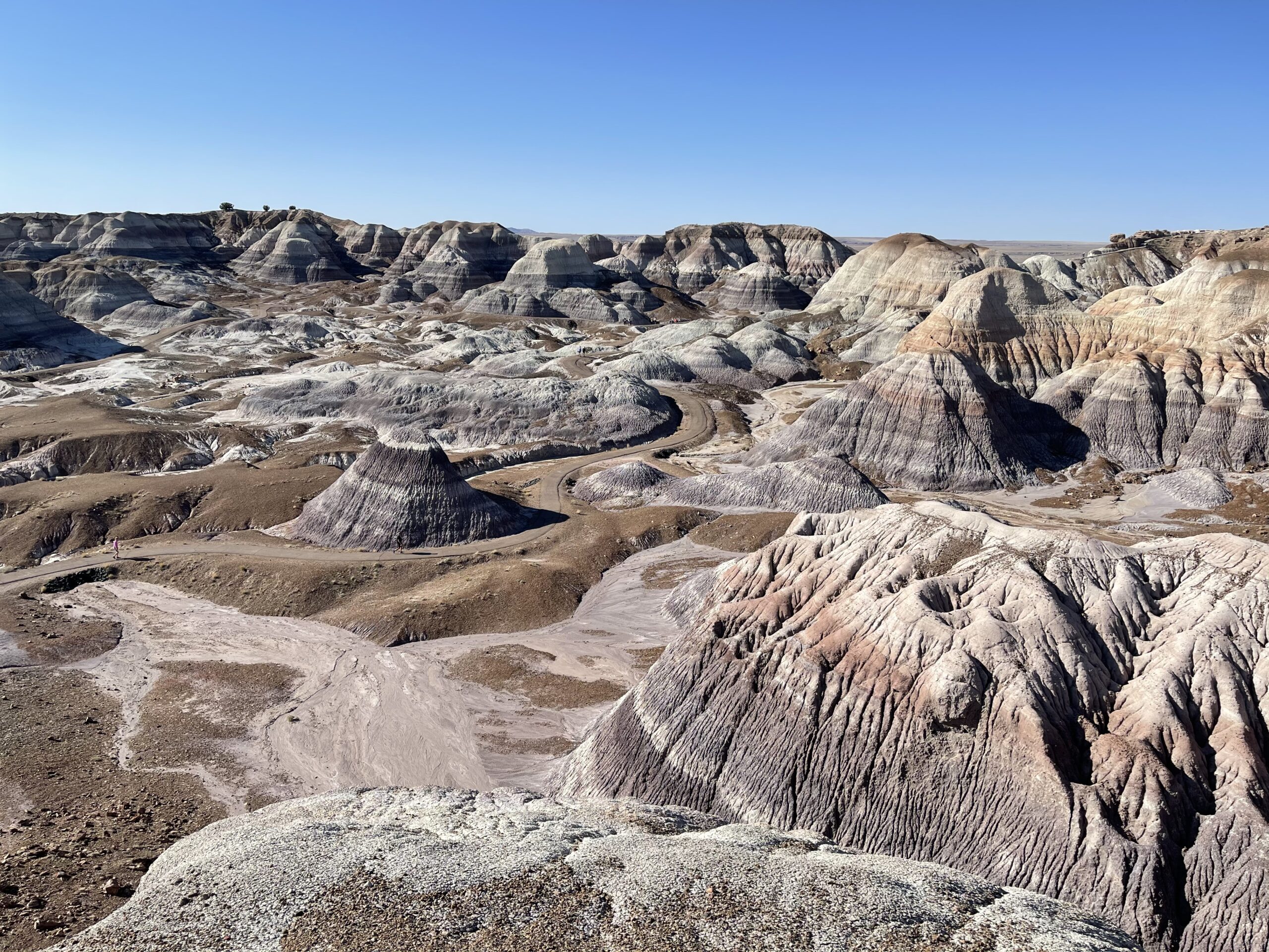
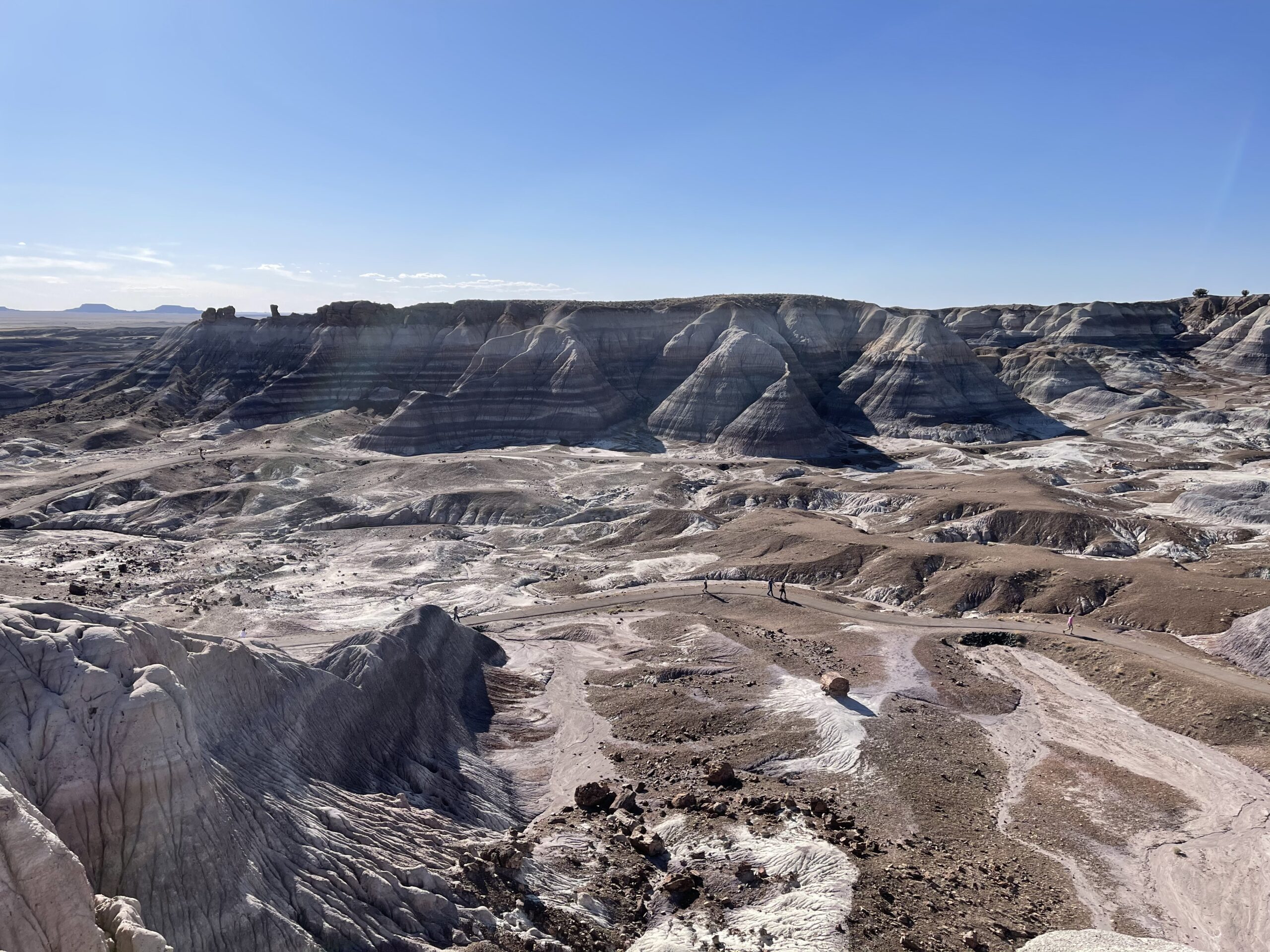
Further into the park was a feature dubbed Blue Mesa, more diversely colored sediments and weathering in a badlands section.


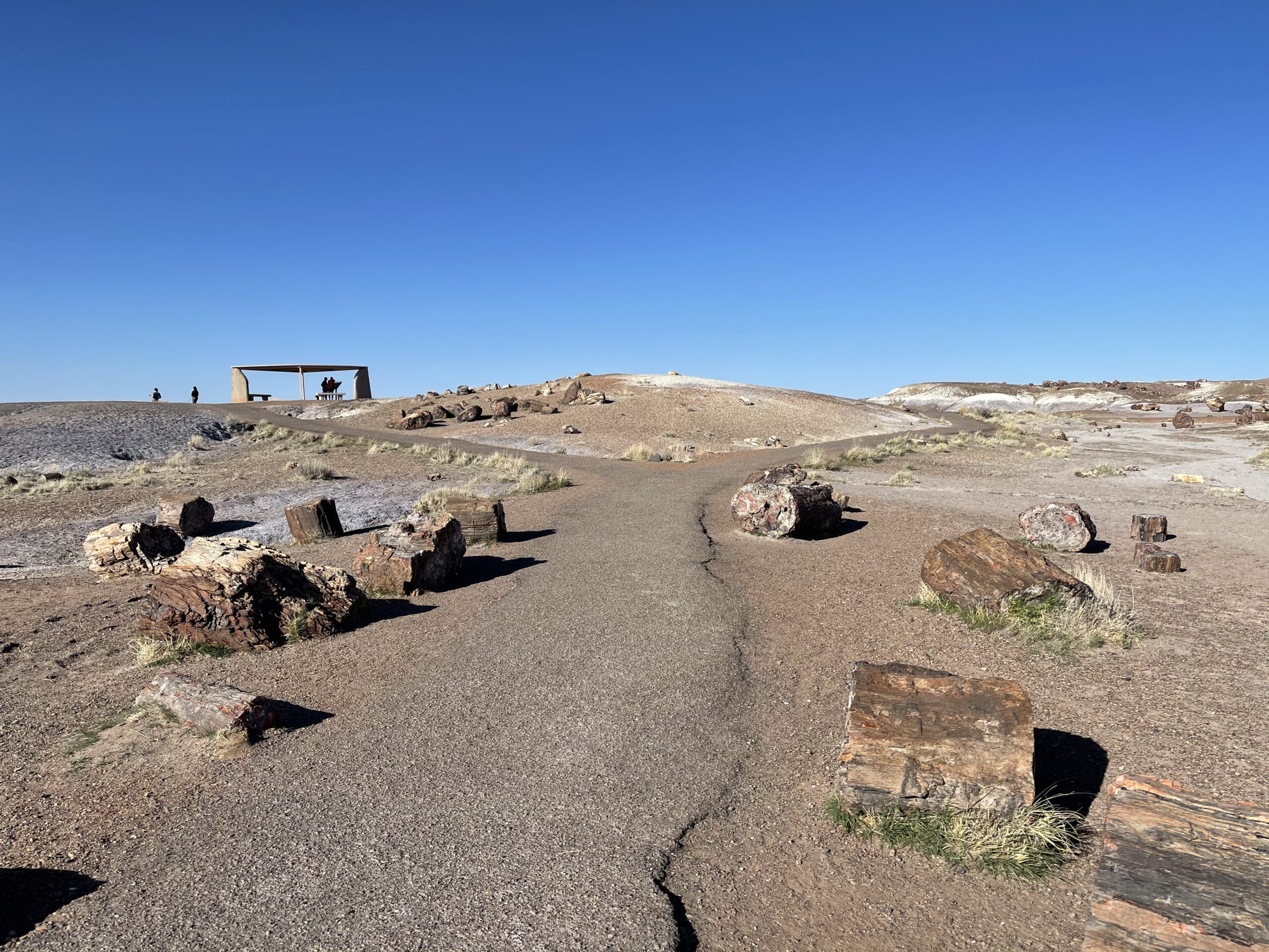
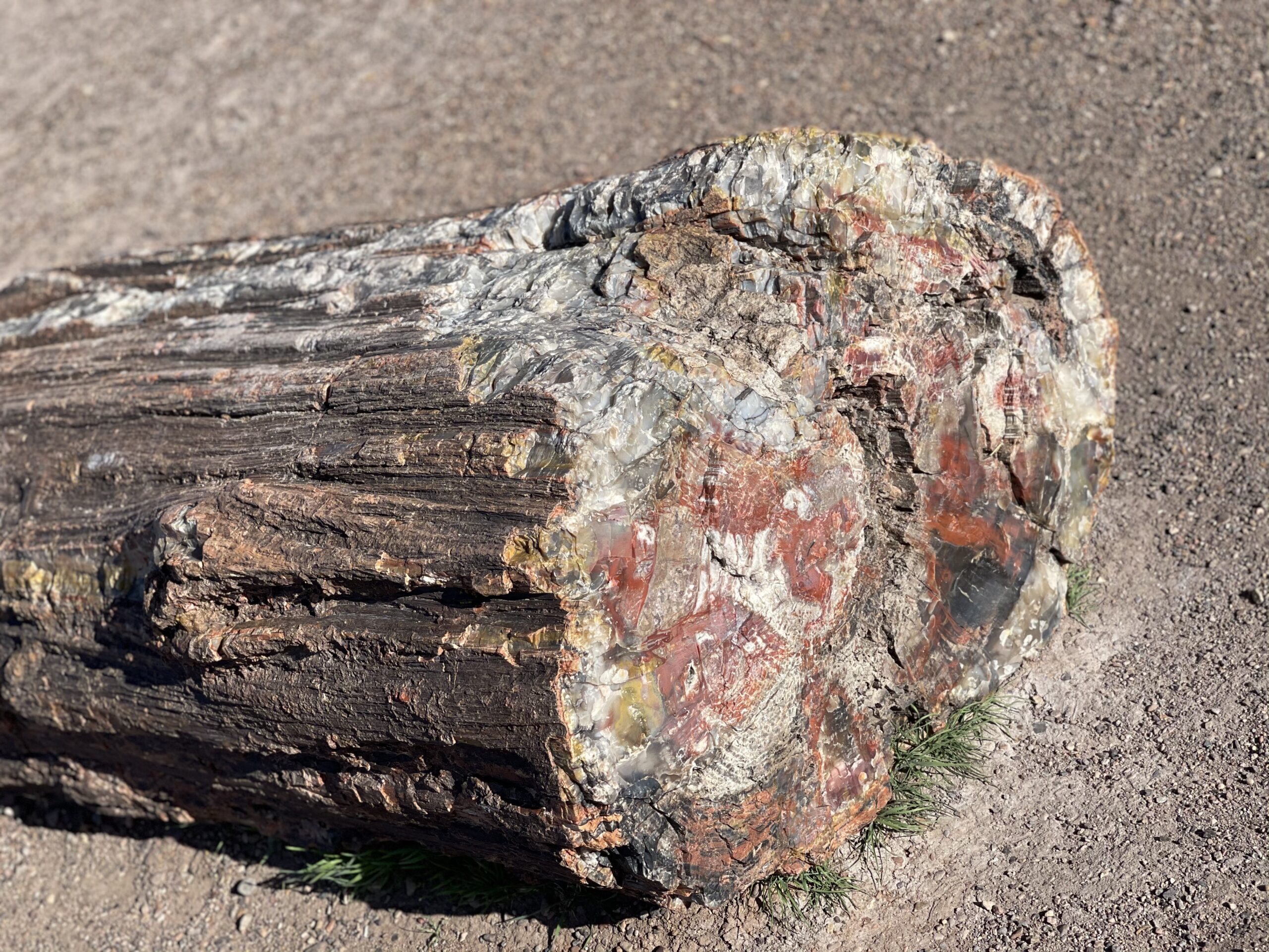
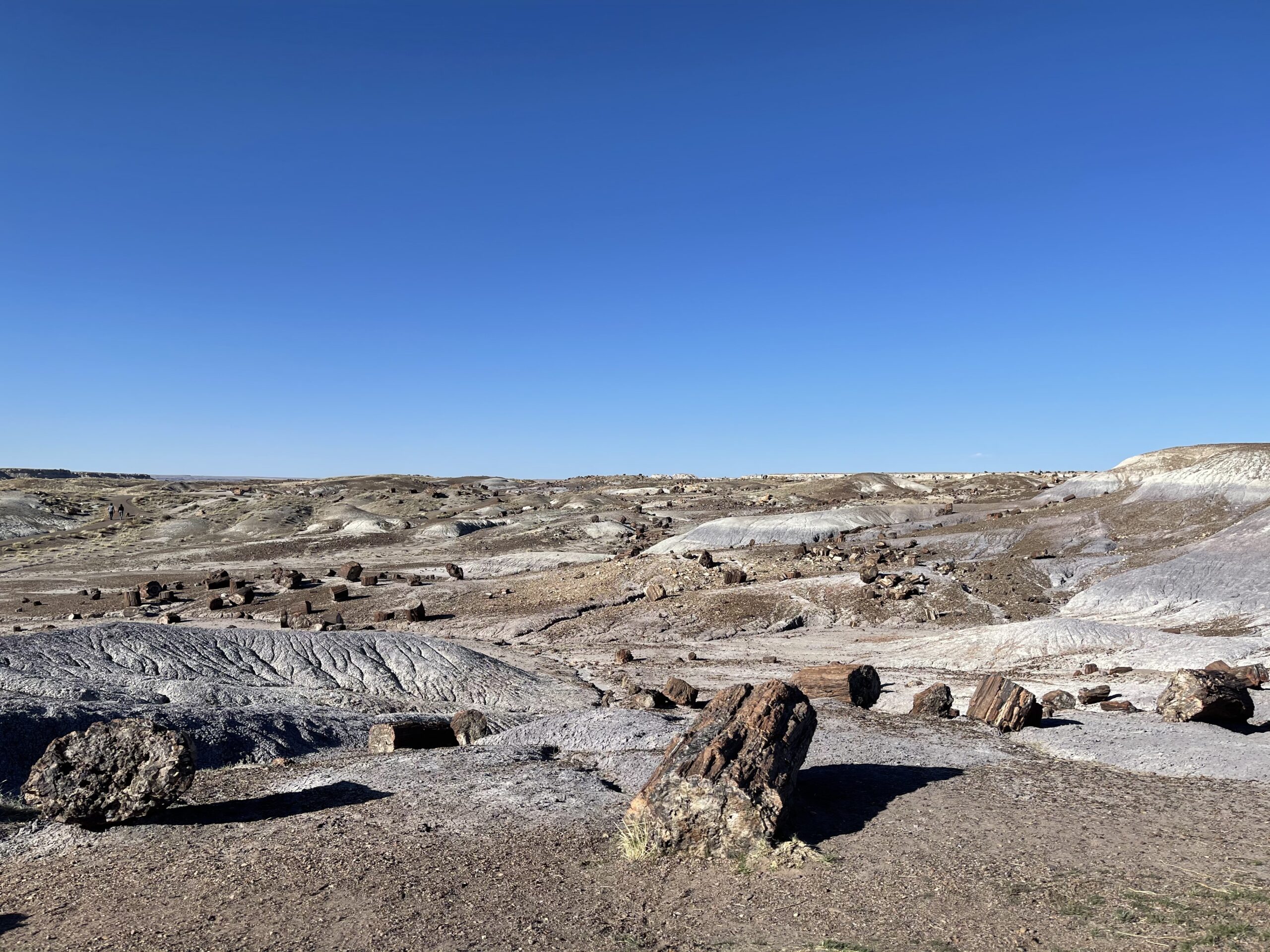
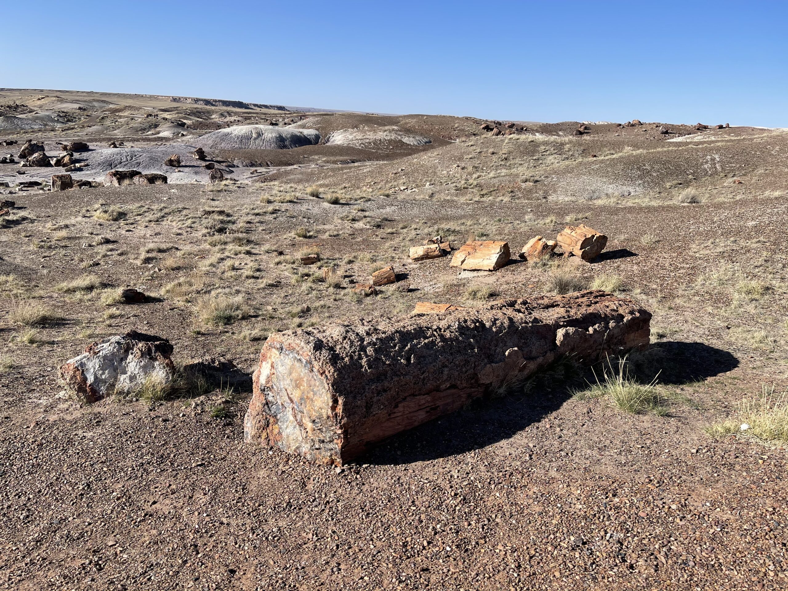
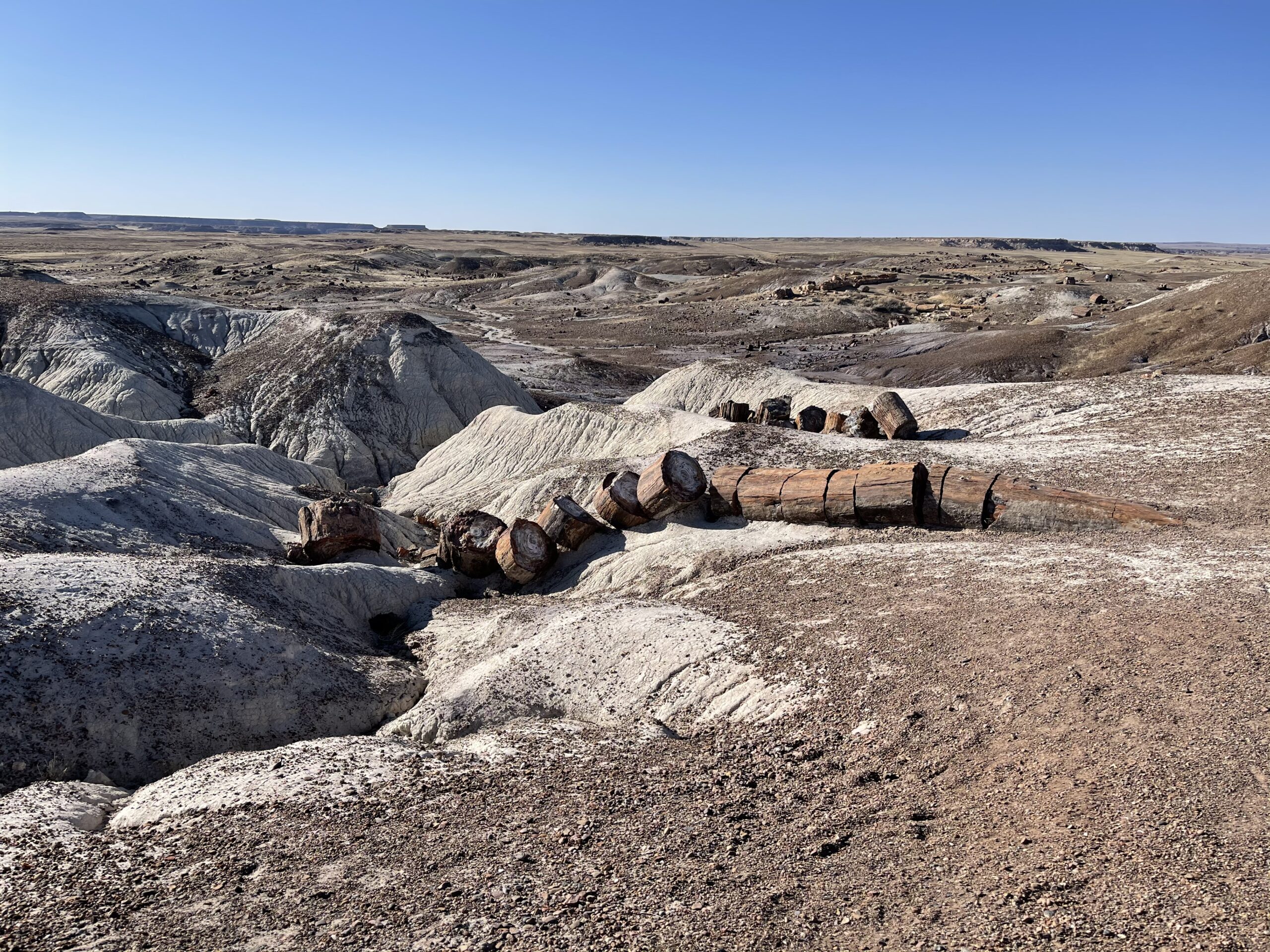
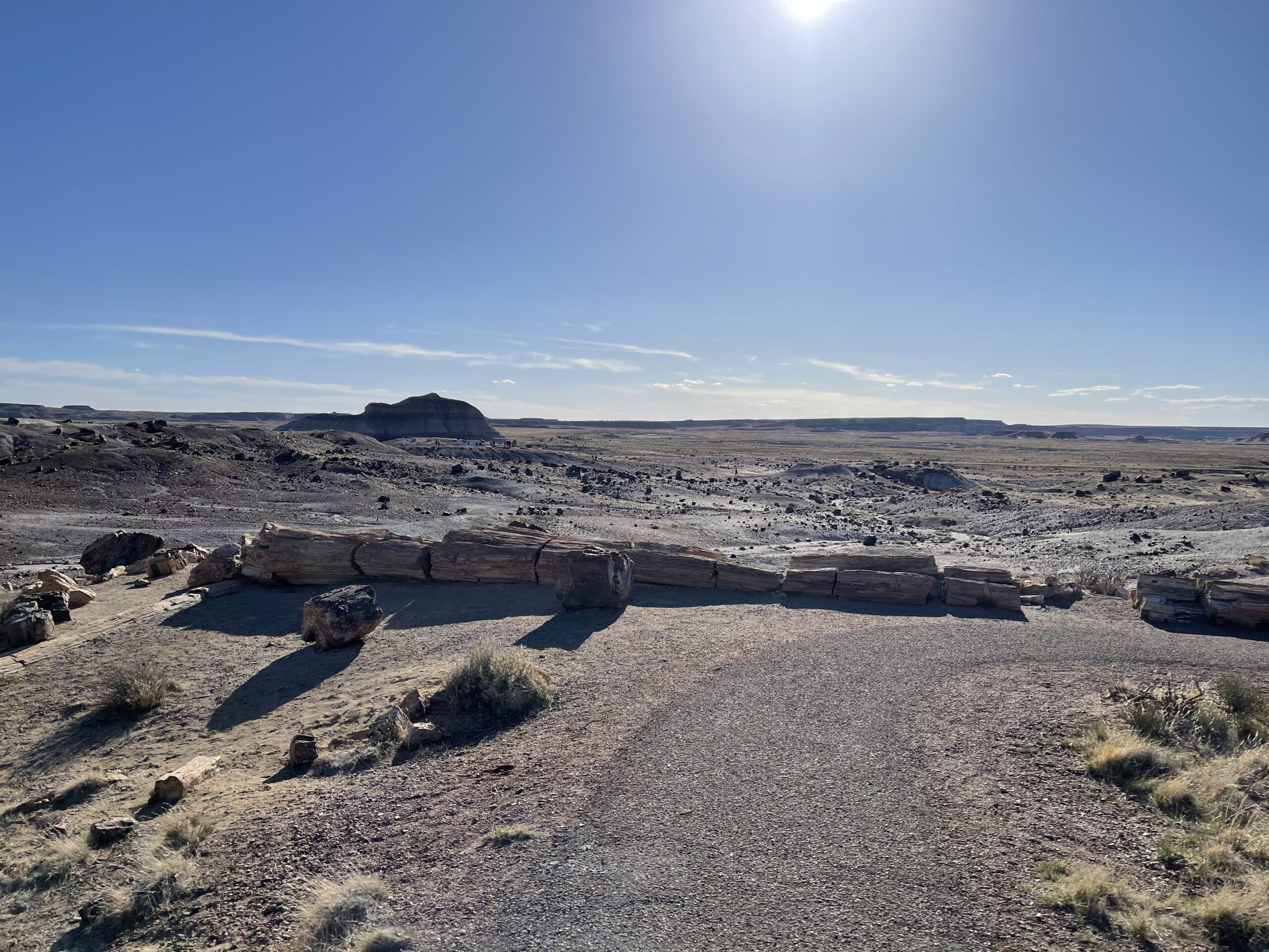
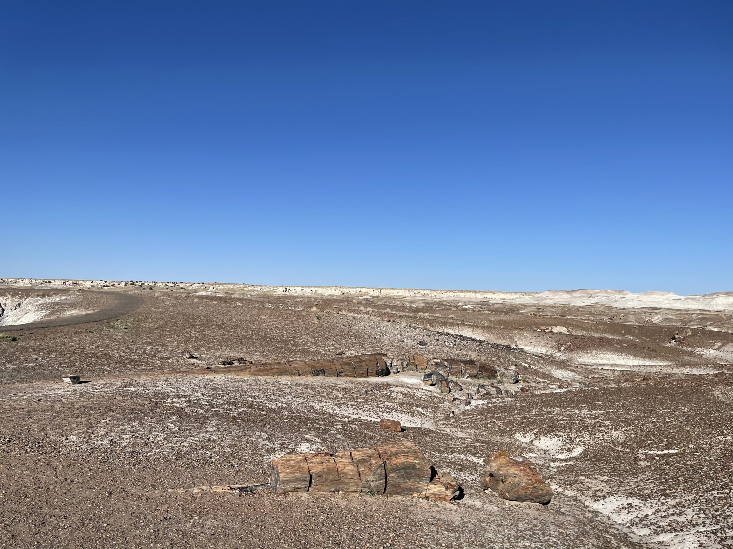
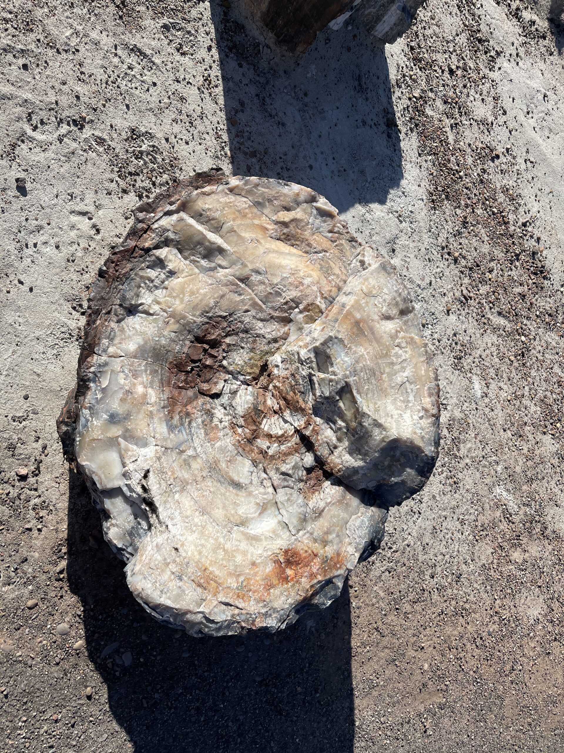
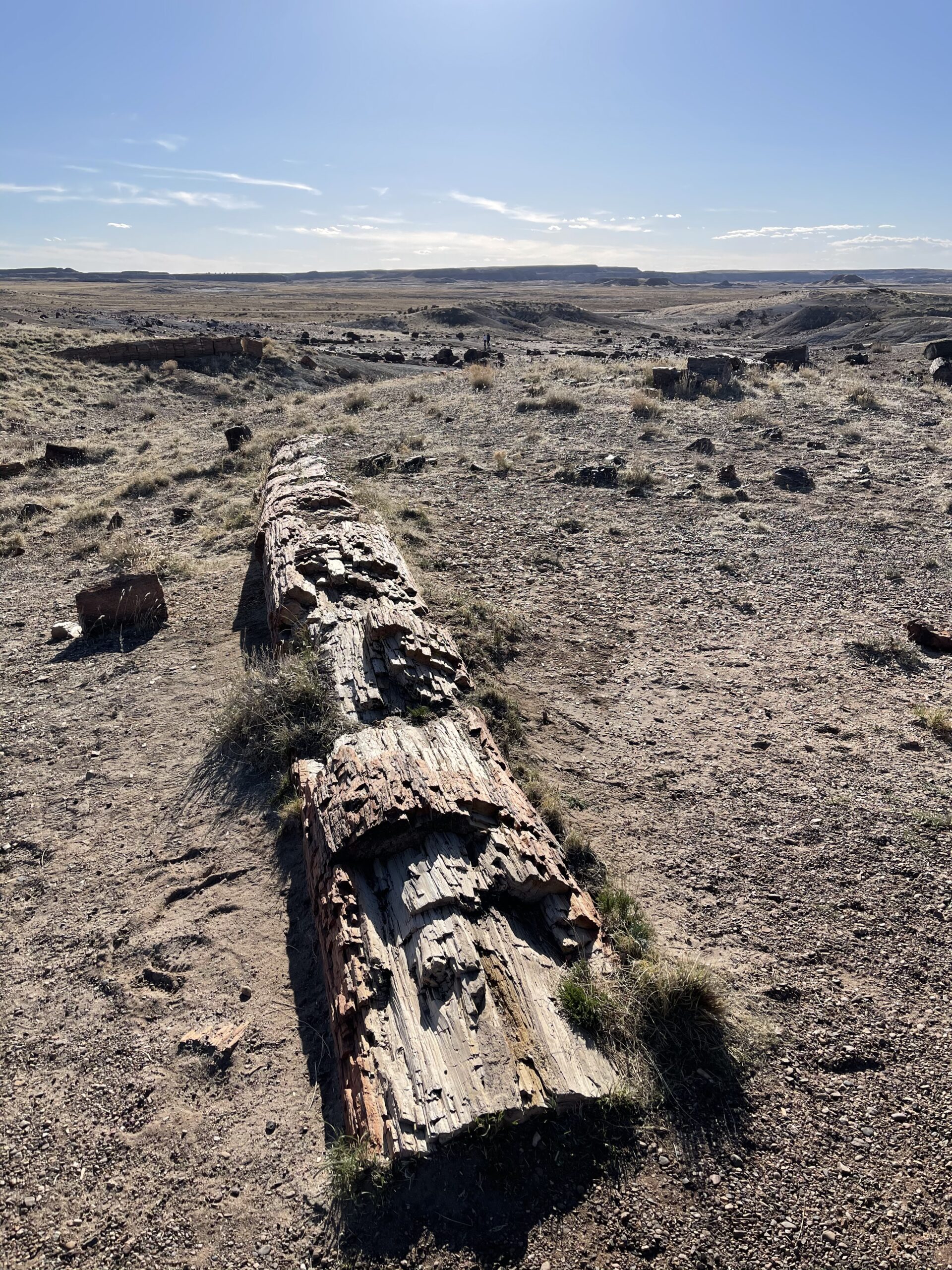
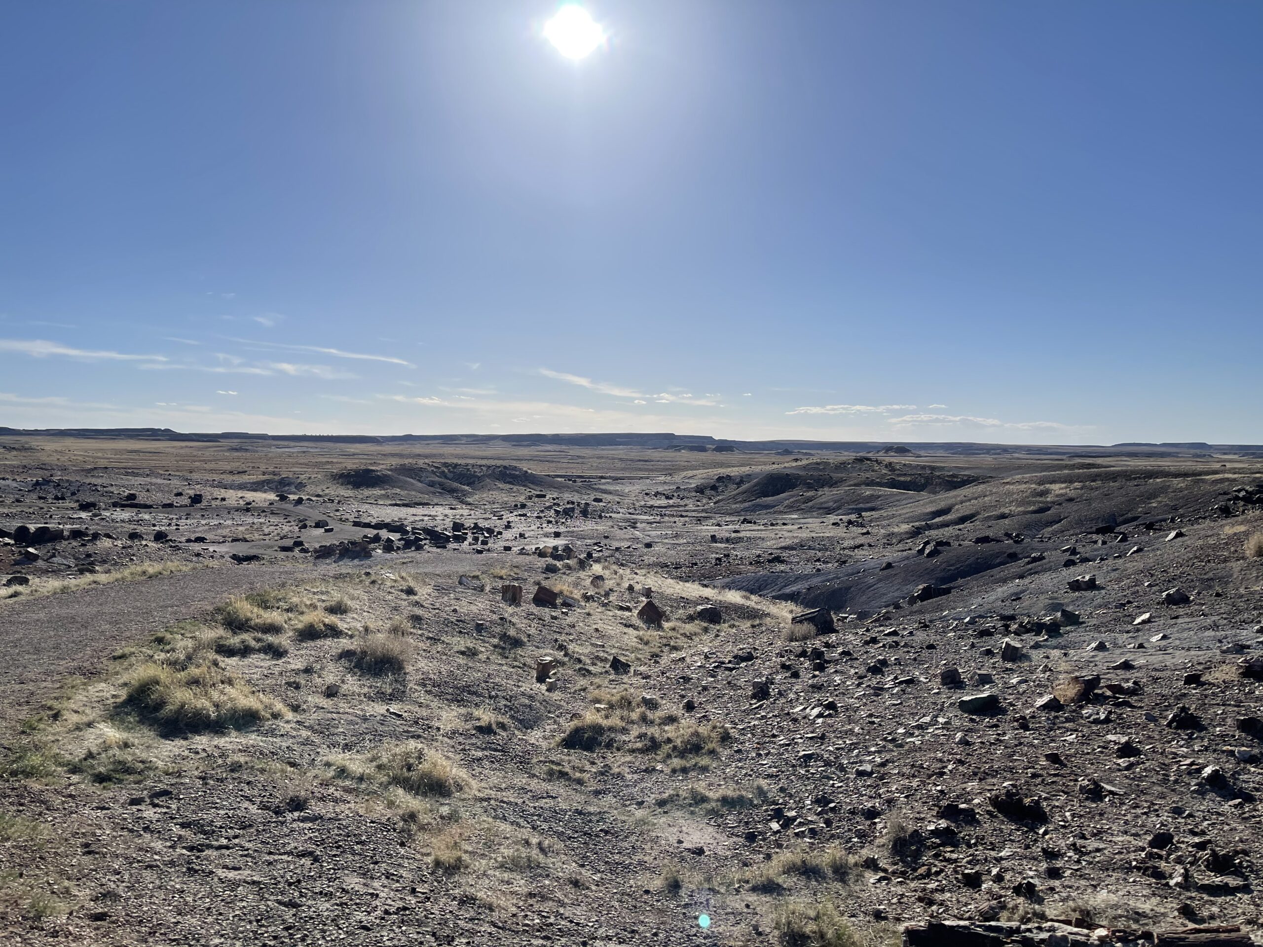
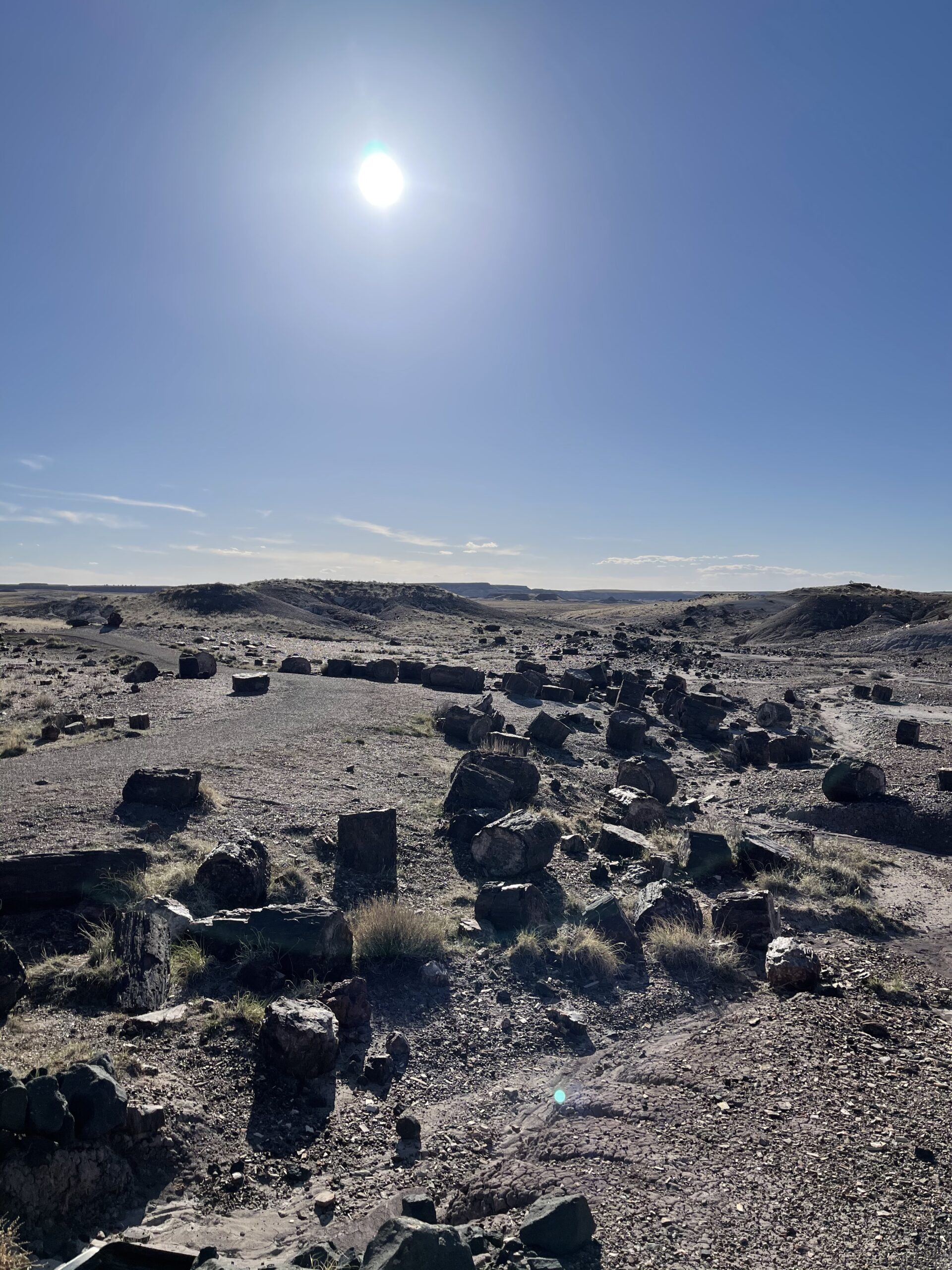
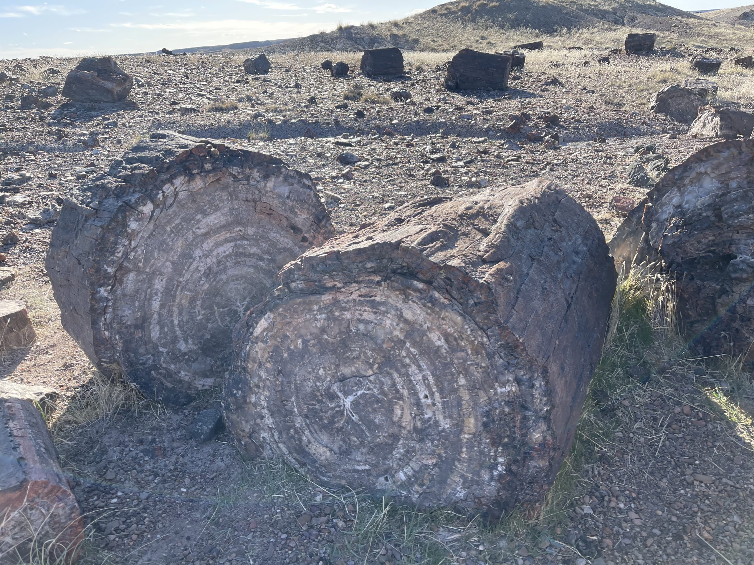
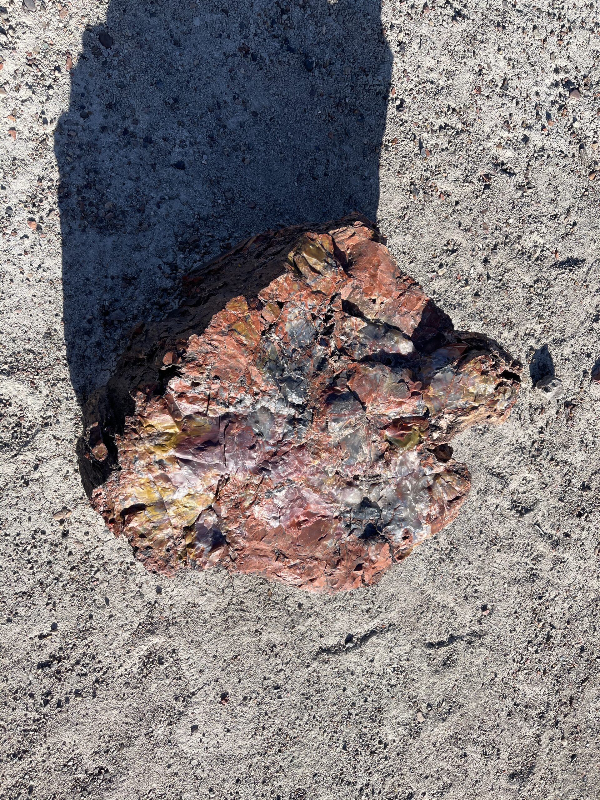
I stopped by the Crystal Forest, but by this time the sun was getting lower and the park had begun to shut down and urge its residents to leave. I was able to walk around and view various piles of petrified wood before exiting the park.


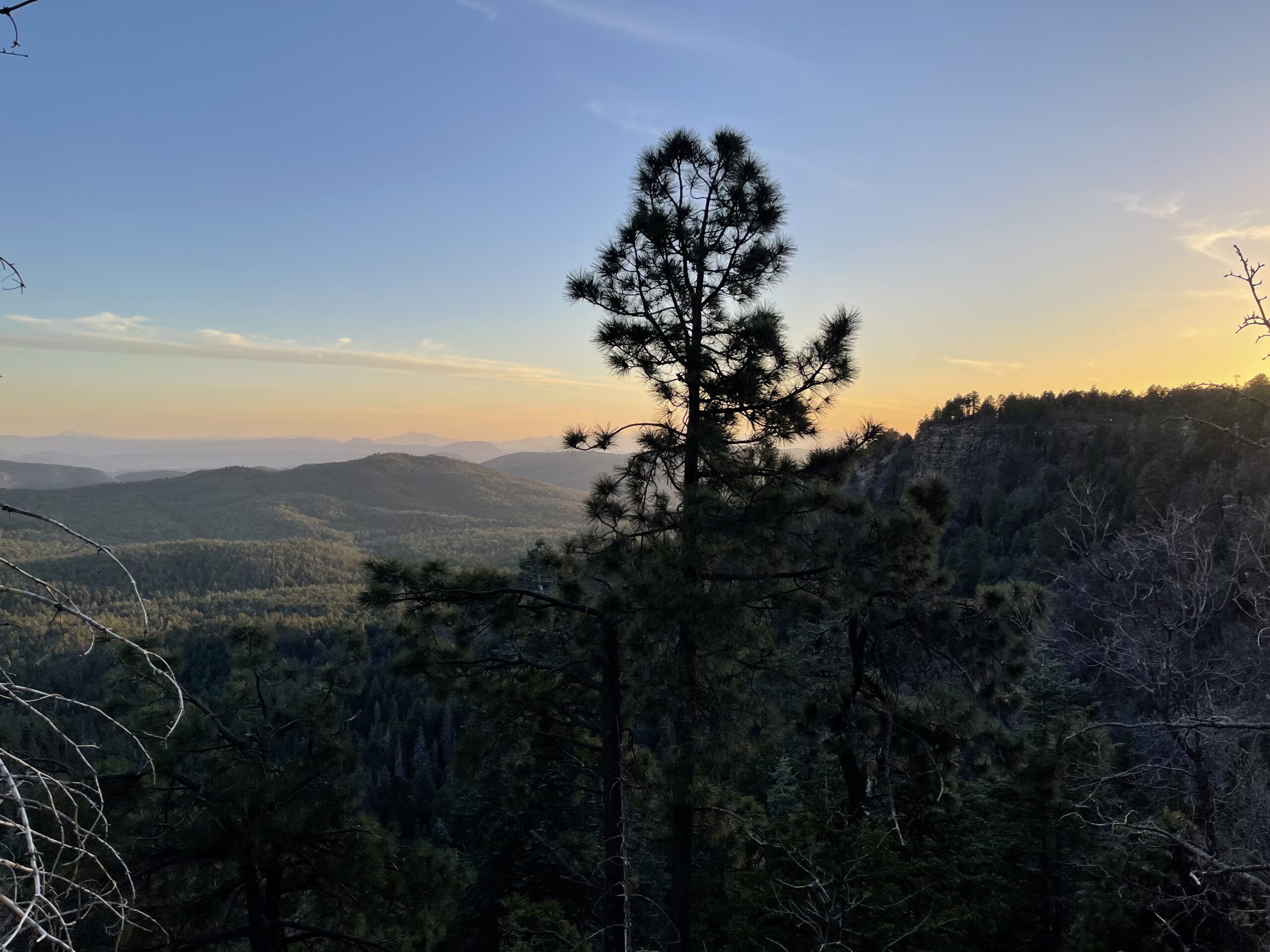
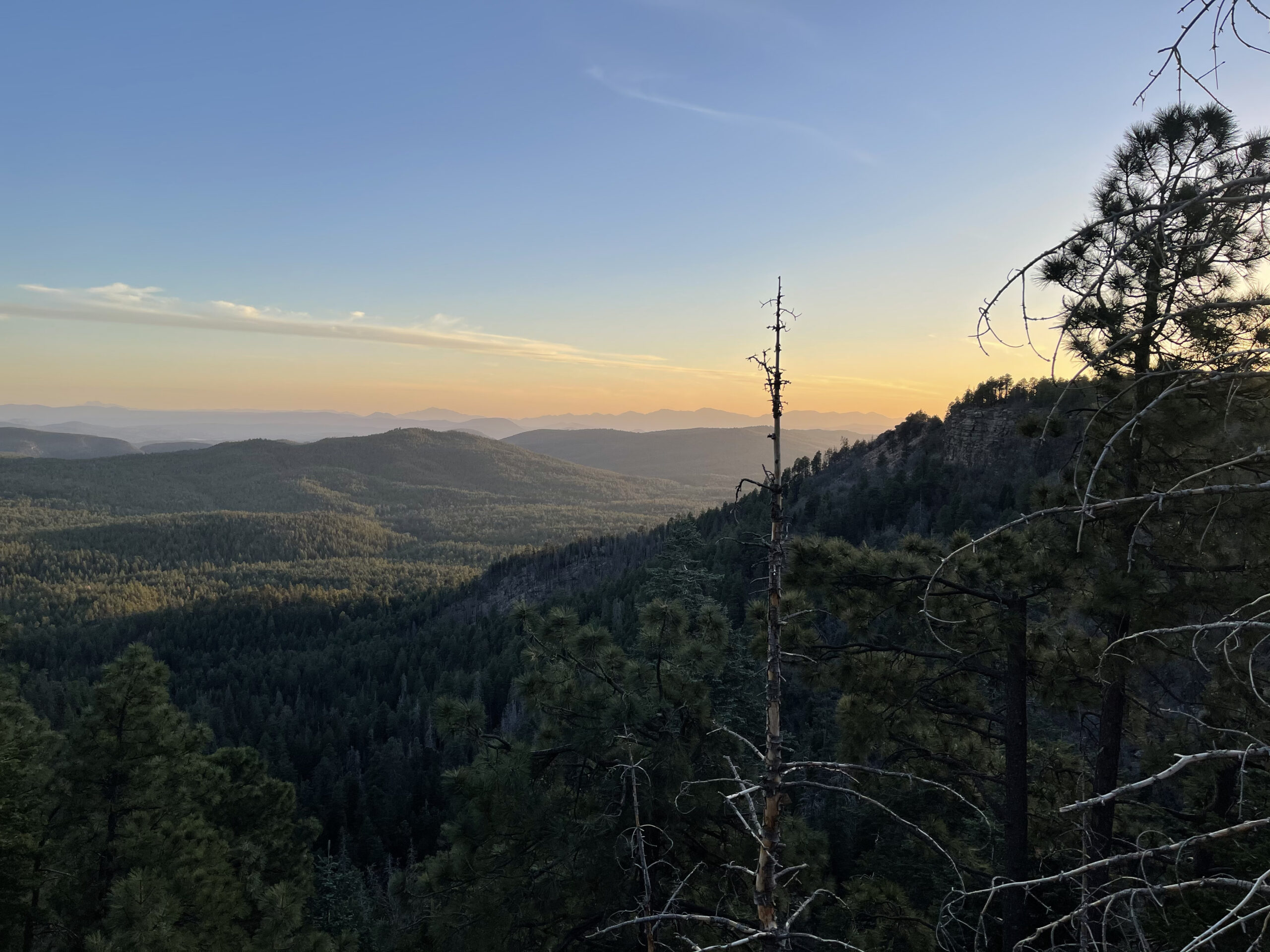
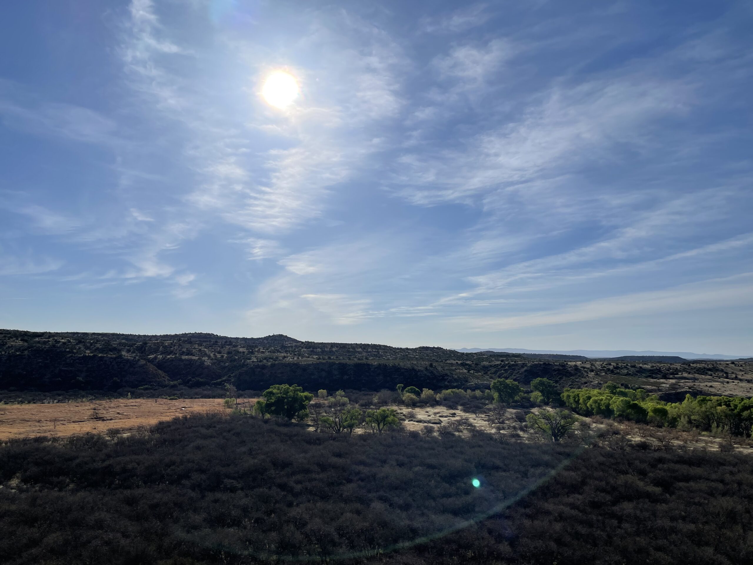
I drove Westward through Apache-Sitgreaves national forest to the Mogollon Rim, a high point of the mountainous forests of central Arizona. A wonderful view greeted me as the sun set.


After continuing to drive through the dark, I did pull over after a time to marvel at the full, sparkling night skies. I made a stop in Cottonwood, Arizona for the evening.
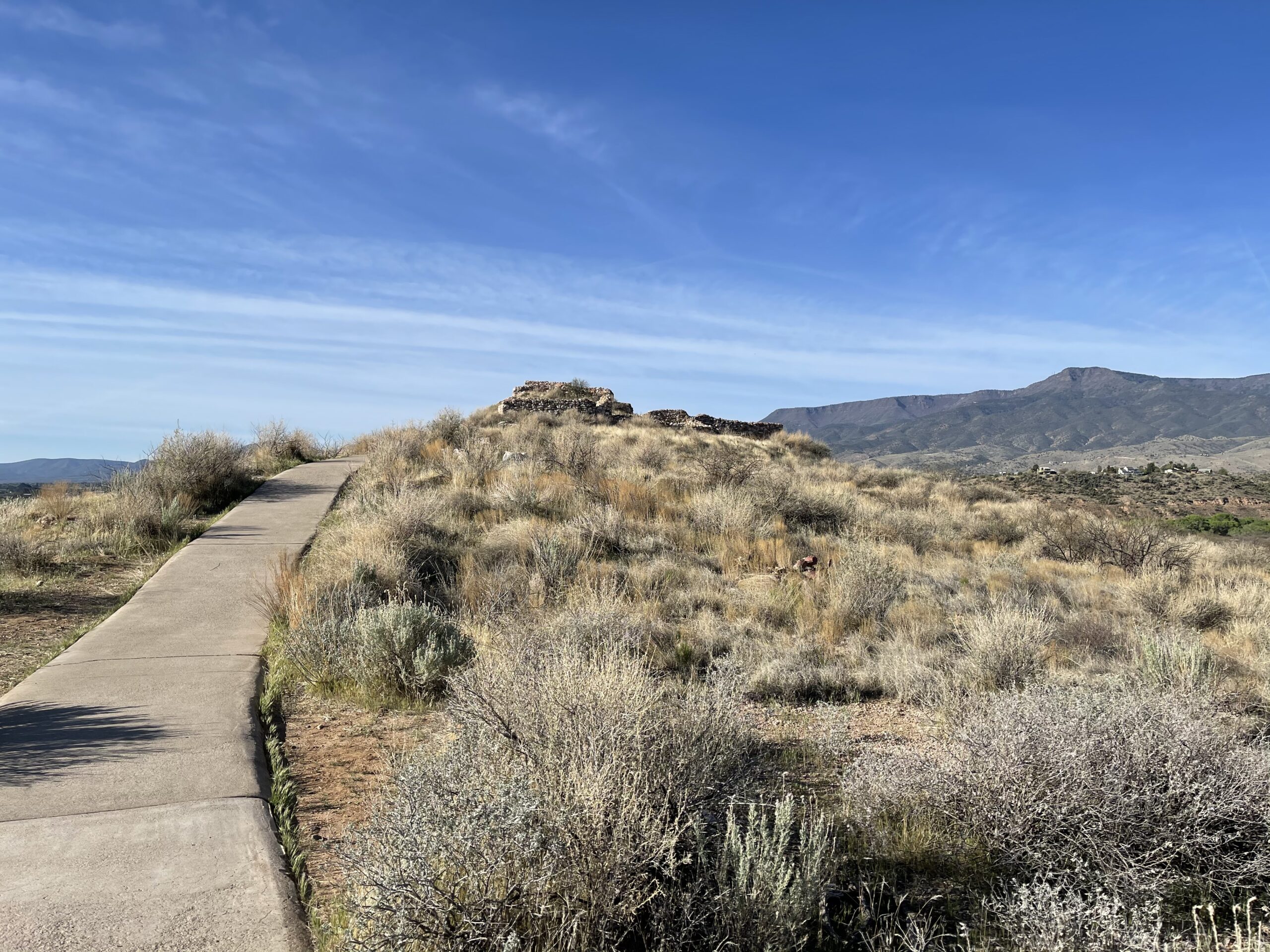
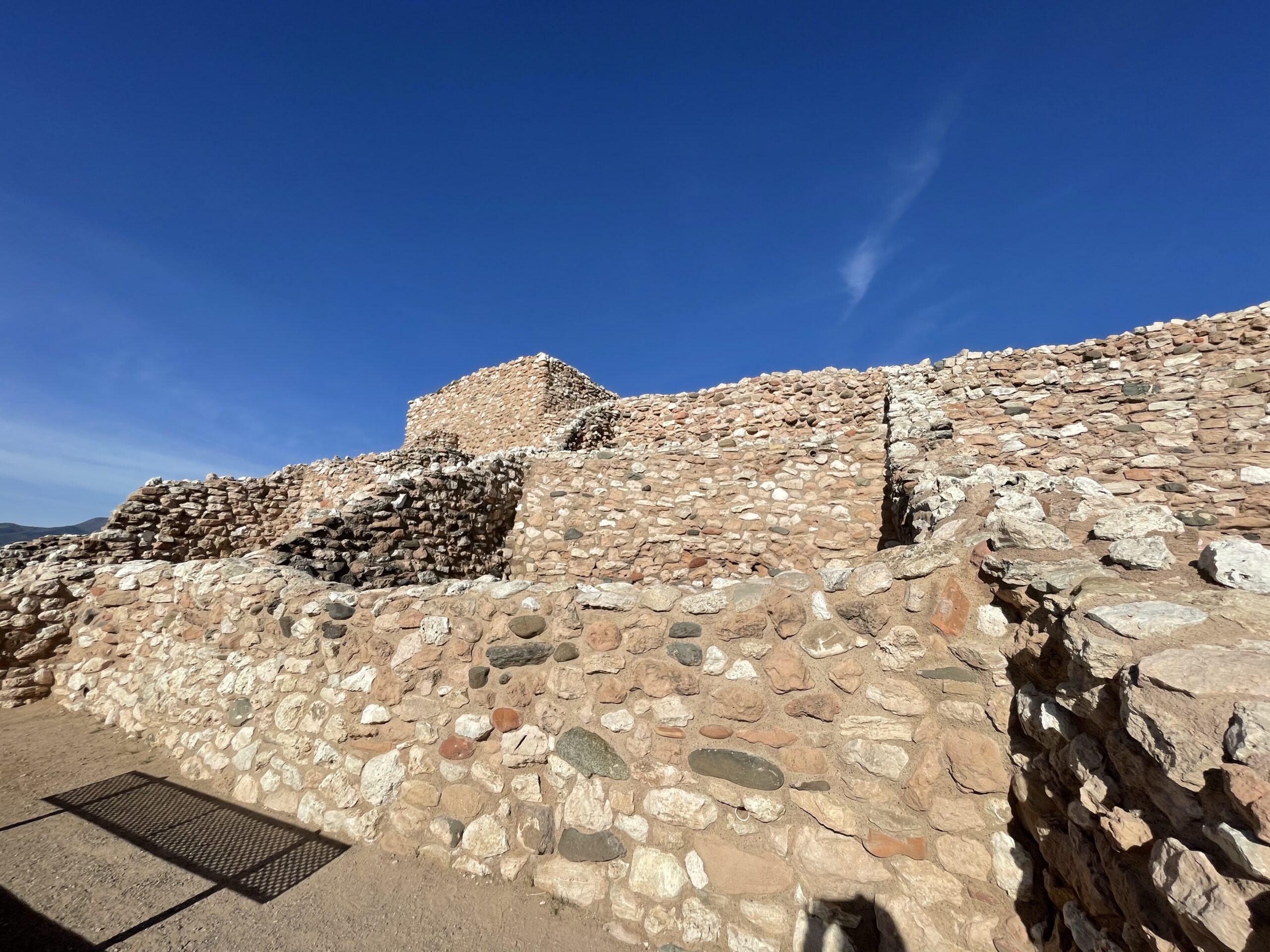
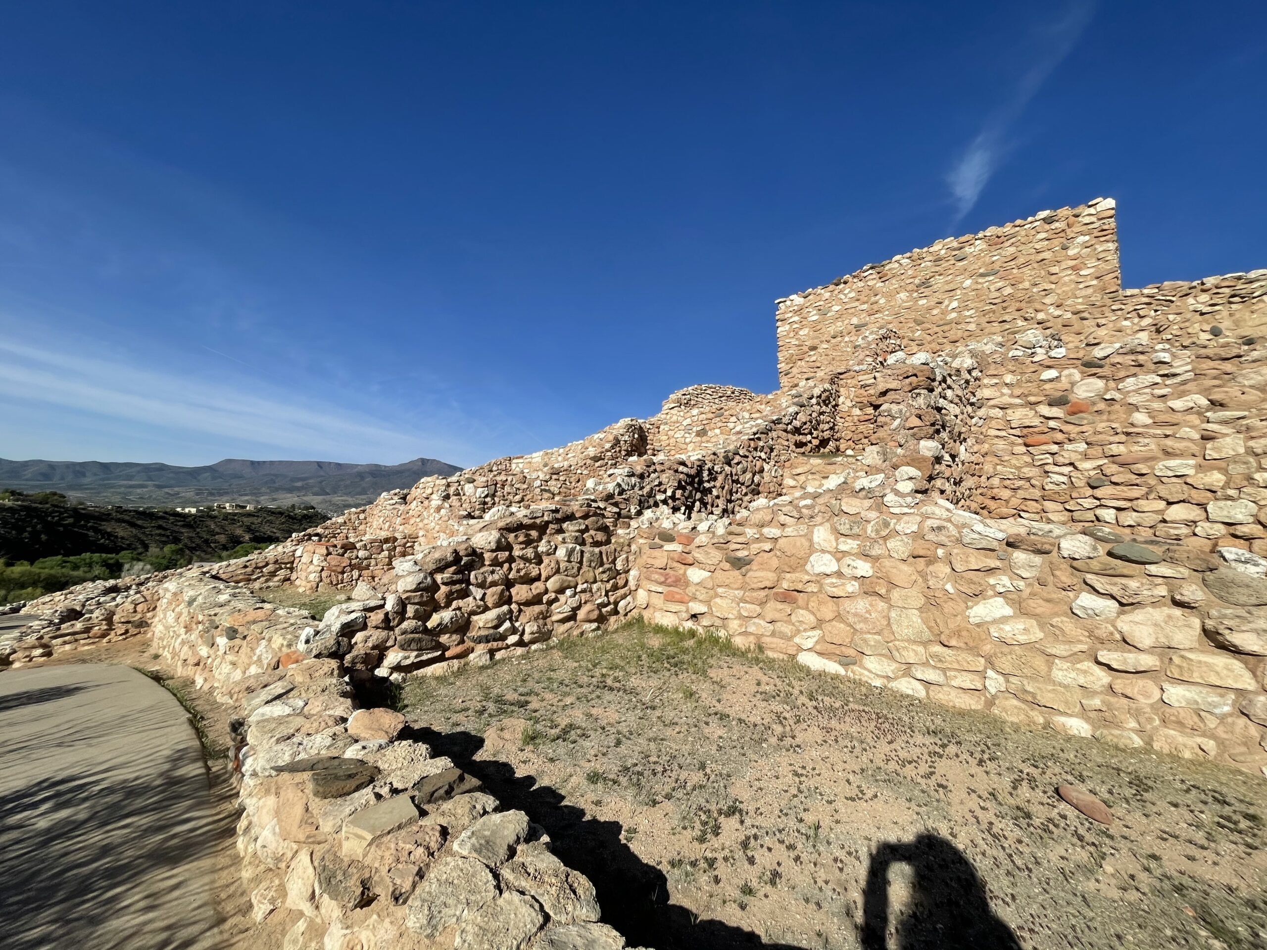
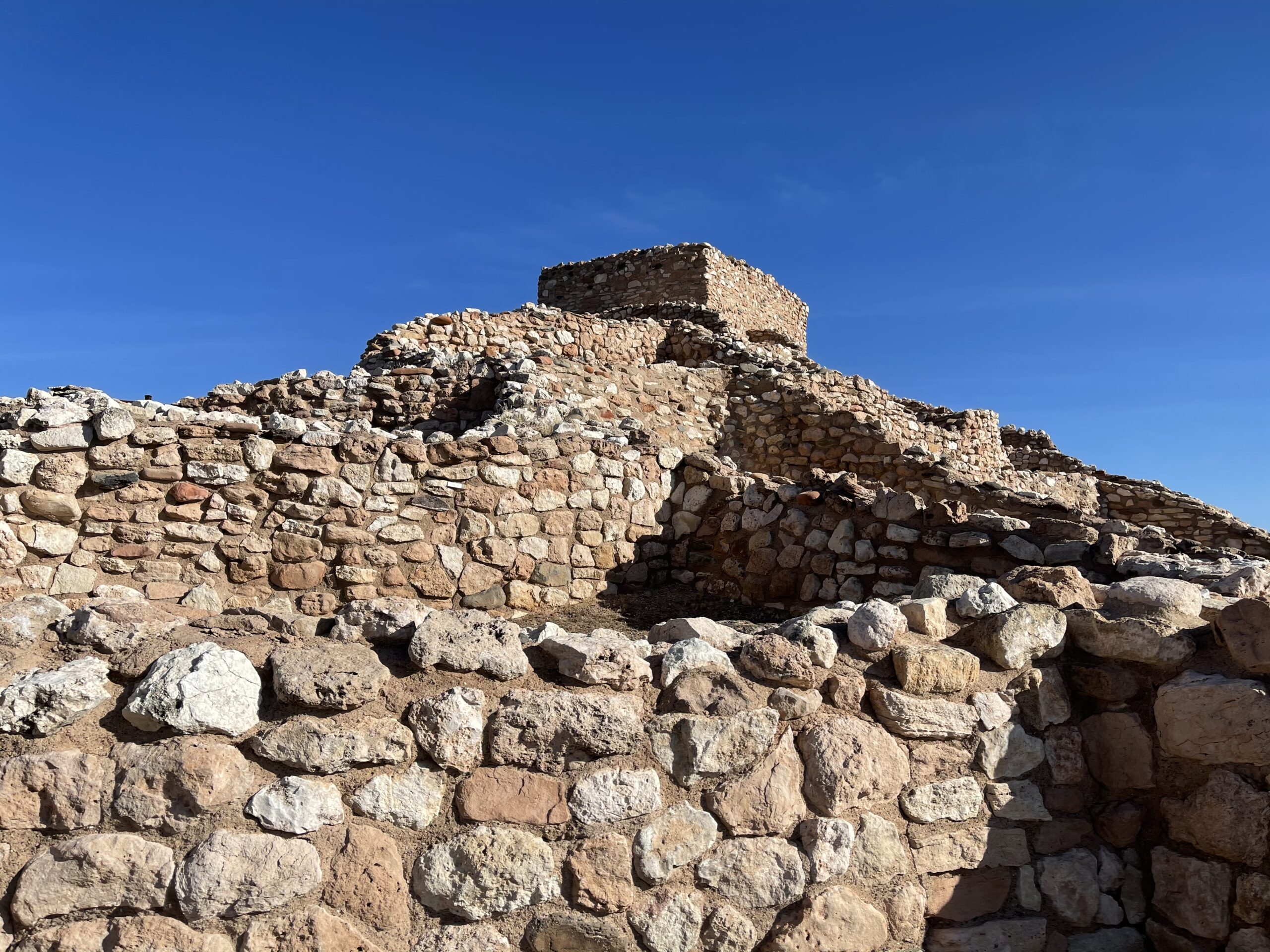
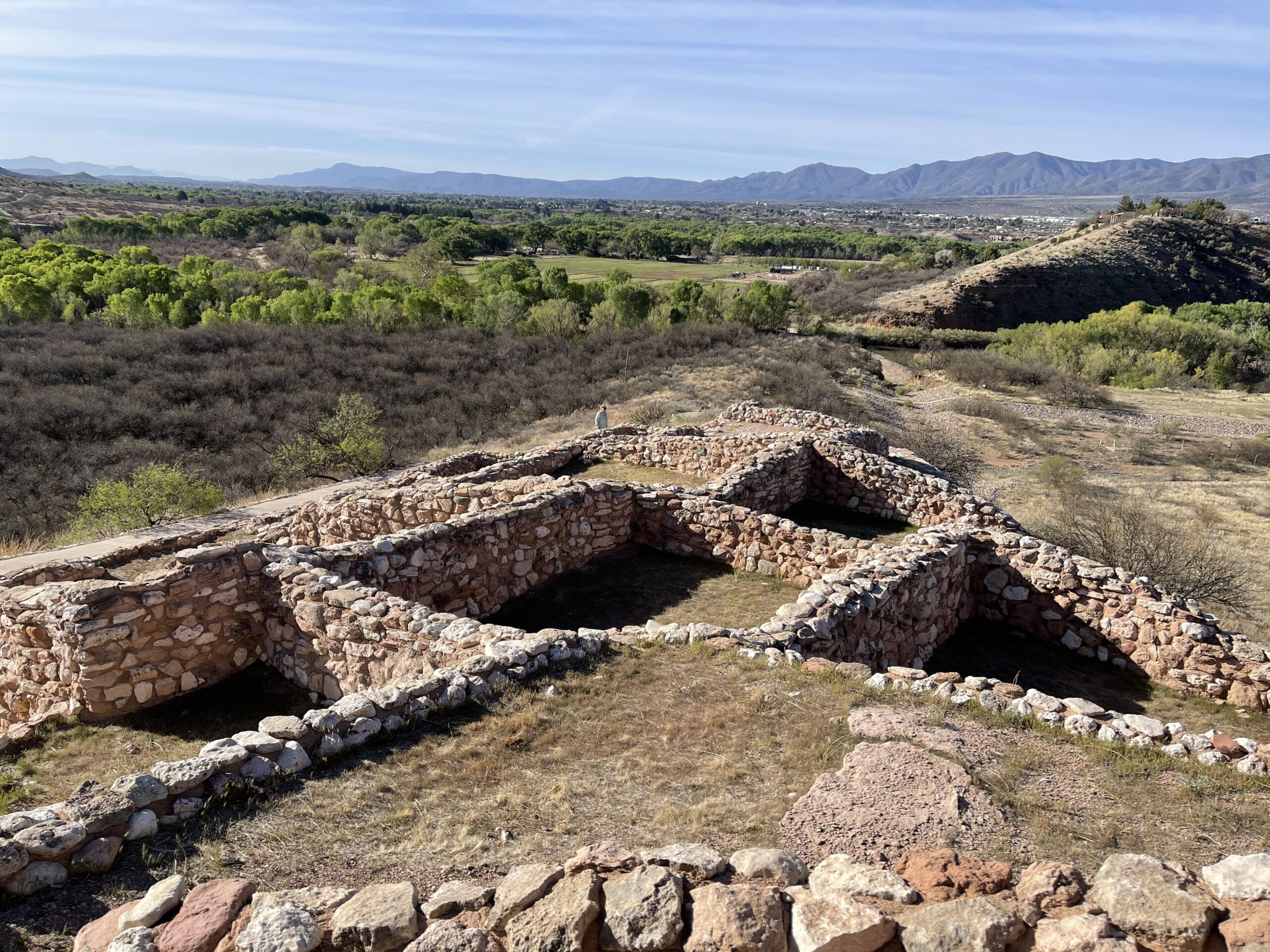
The following morning, I awoke early and headed to another Native American structure, the Tuzigoot National Monument. This large town center sat atop a hill with fantastic views in each direction.


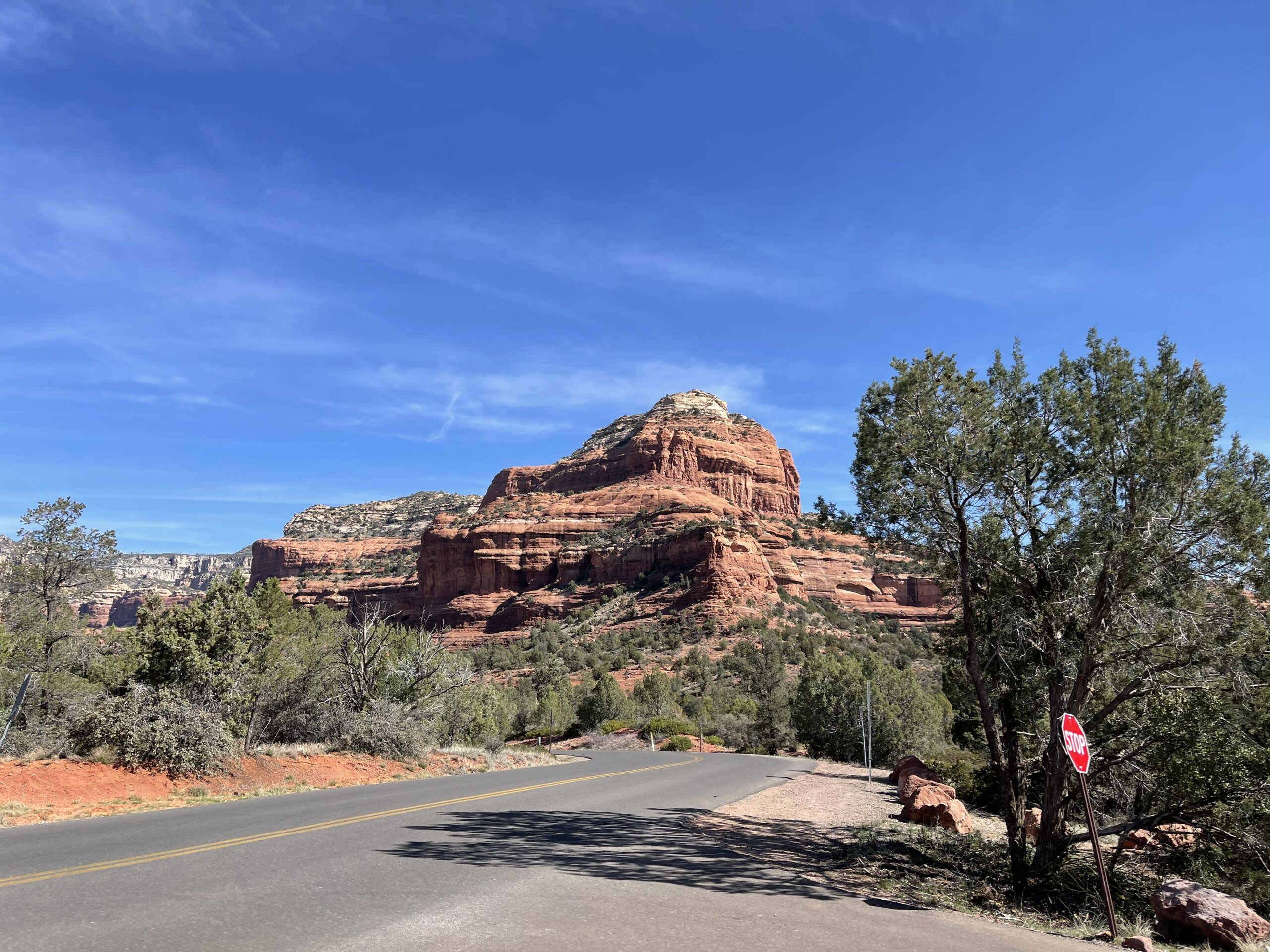
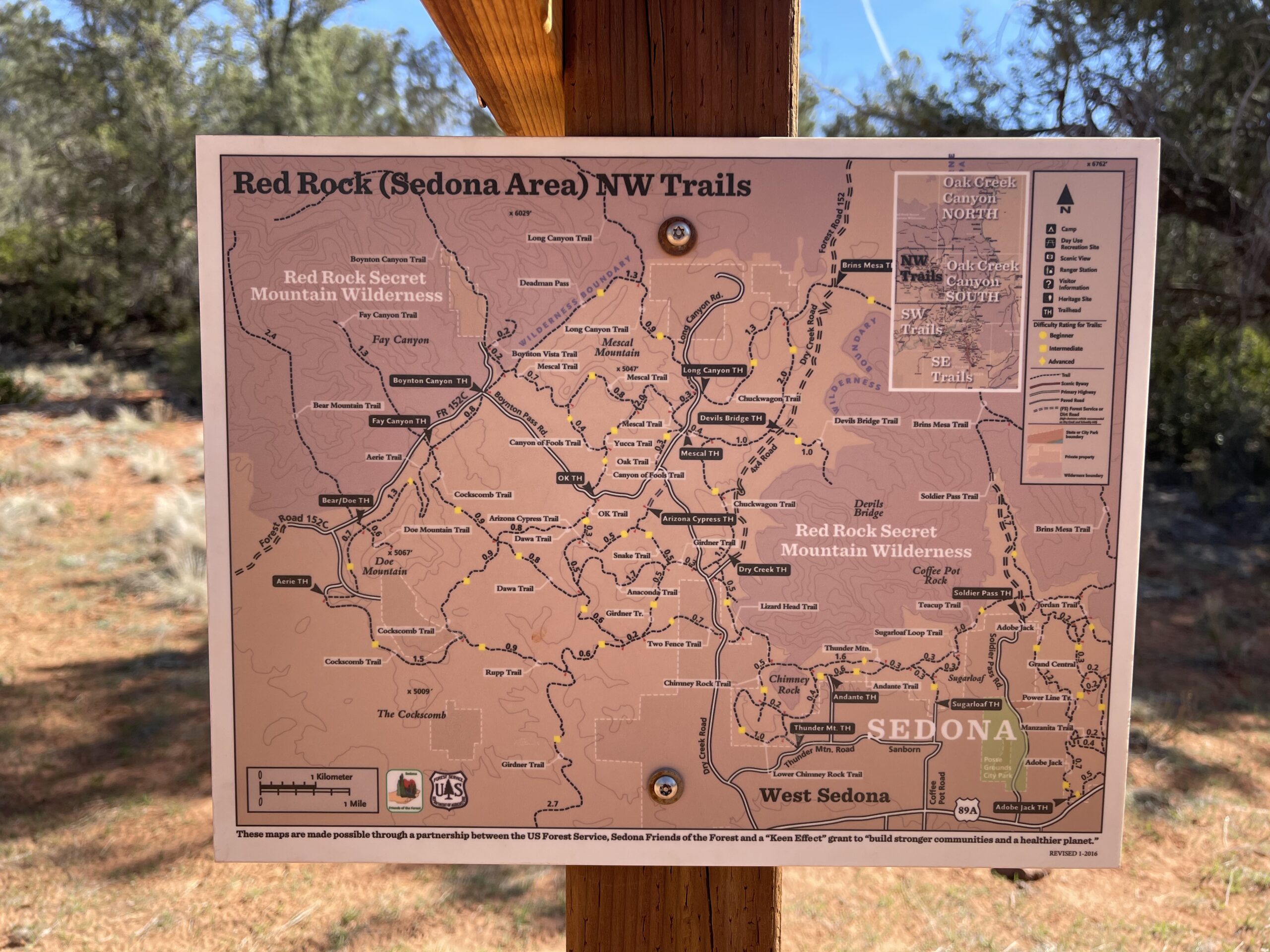
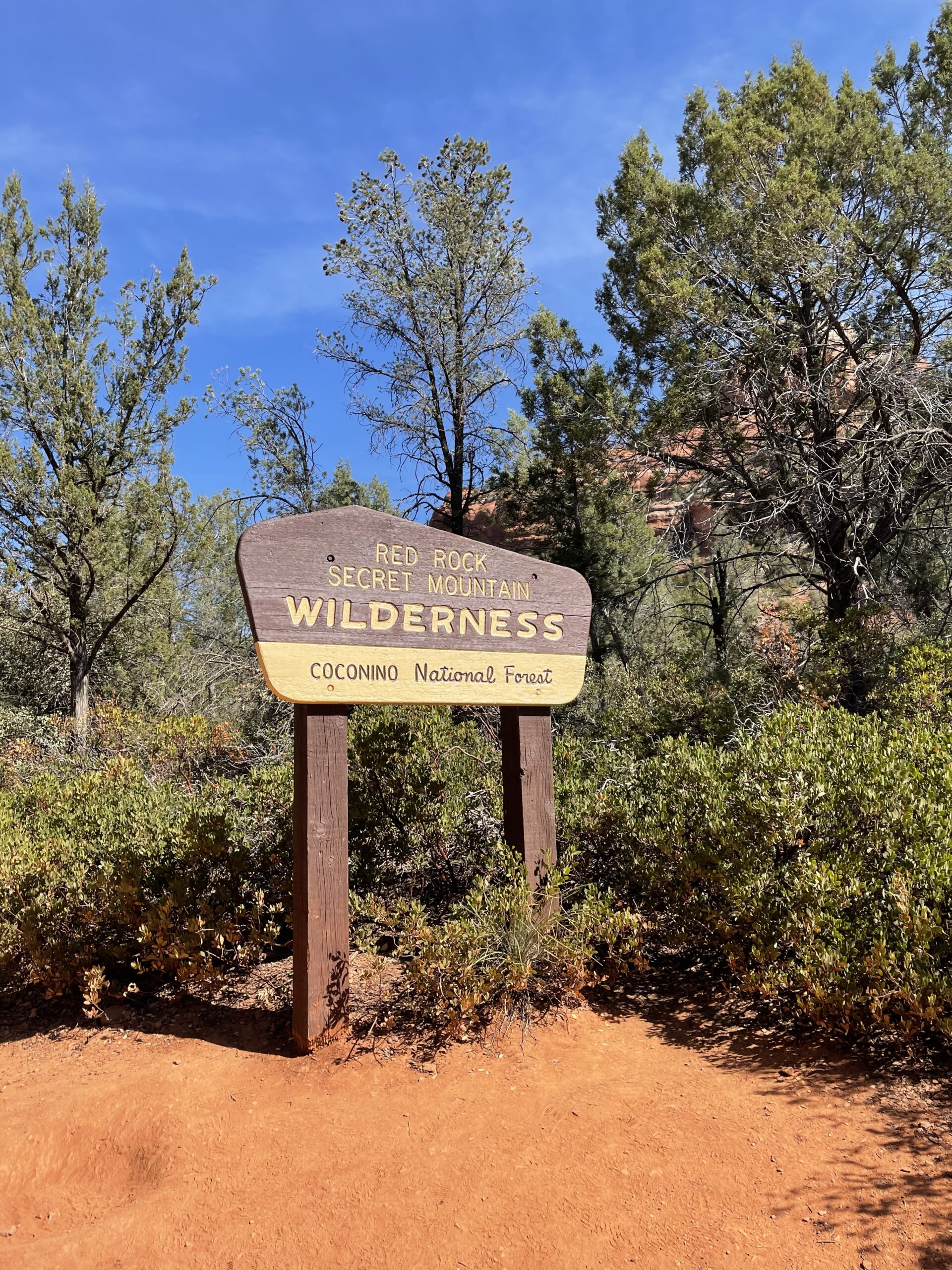
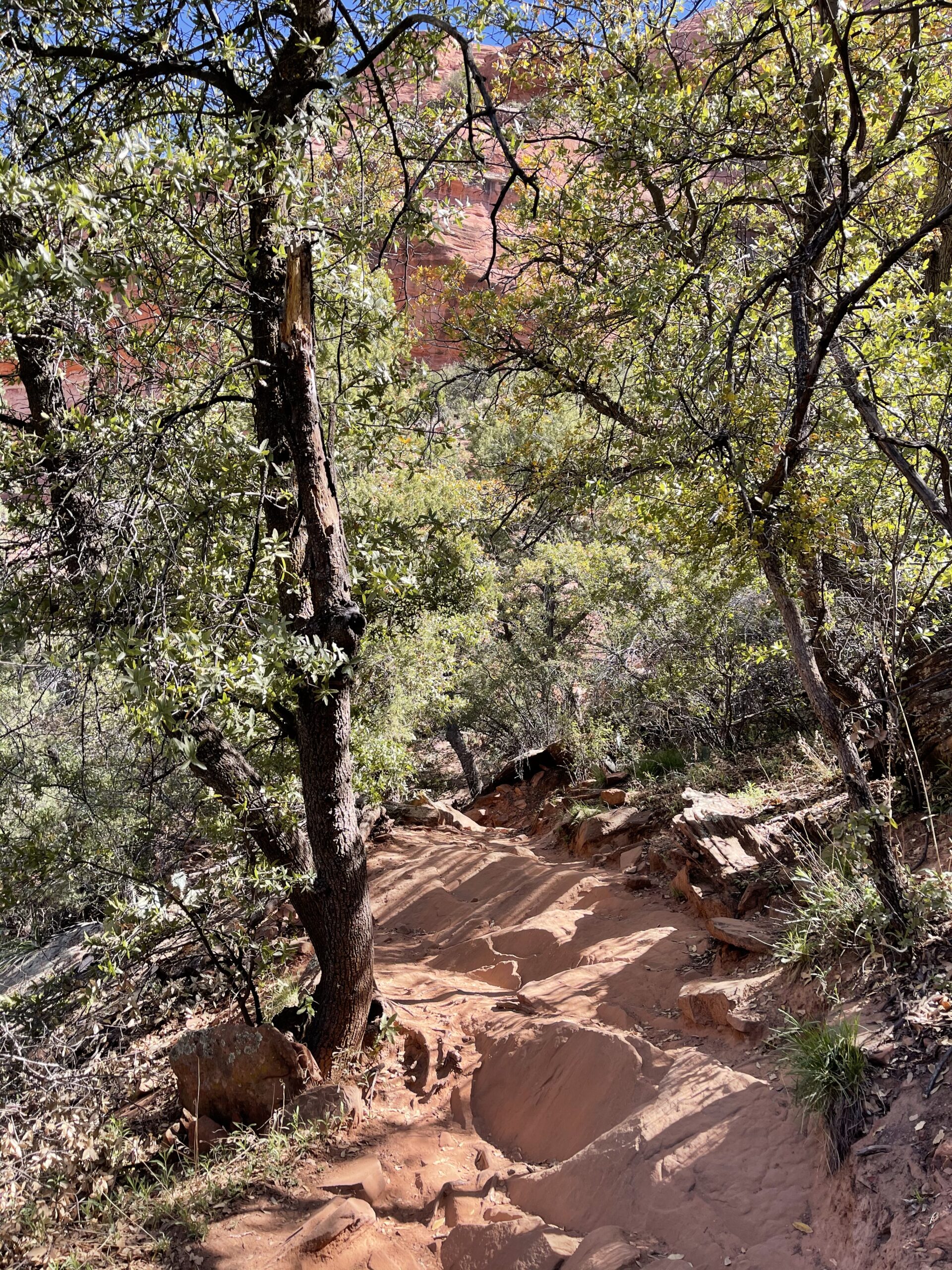
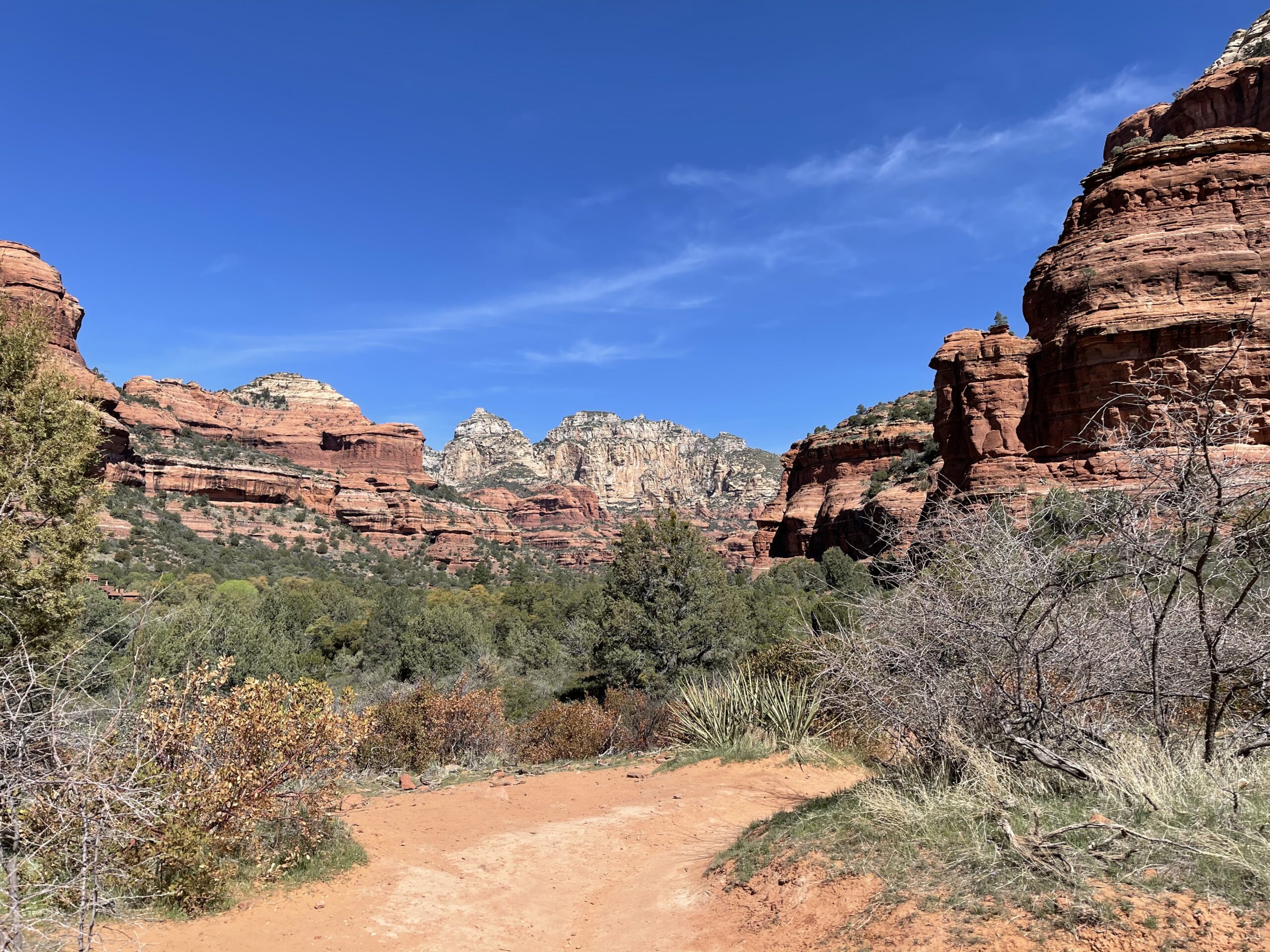
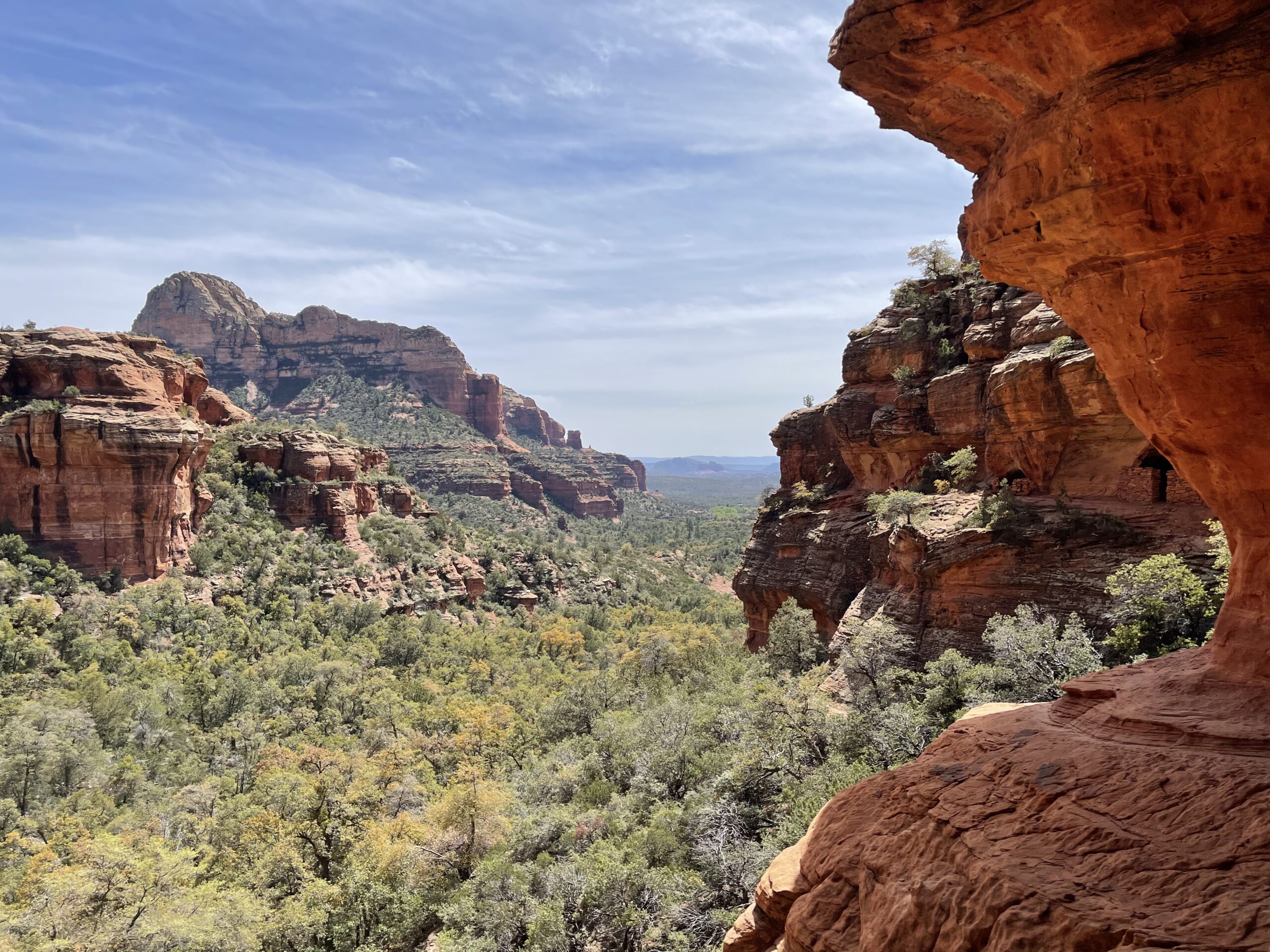
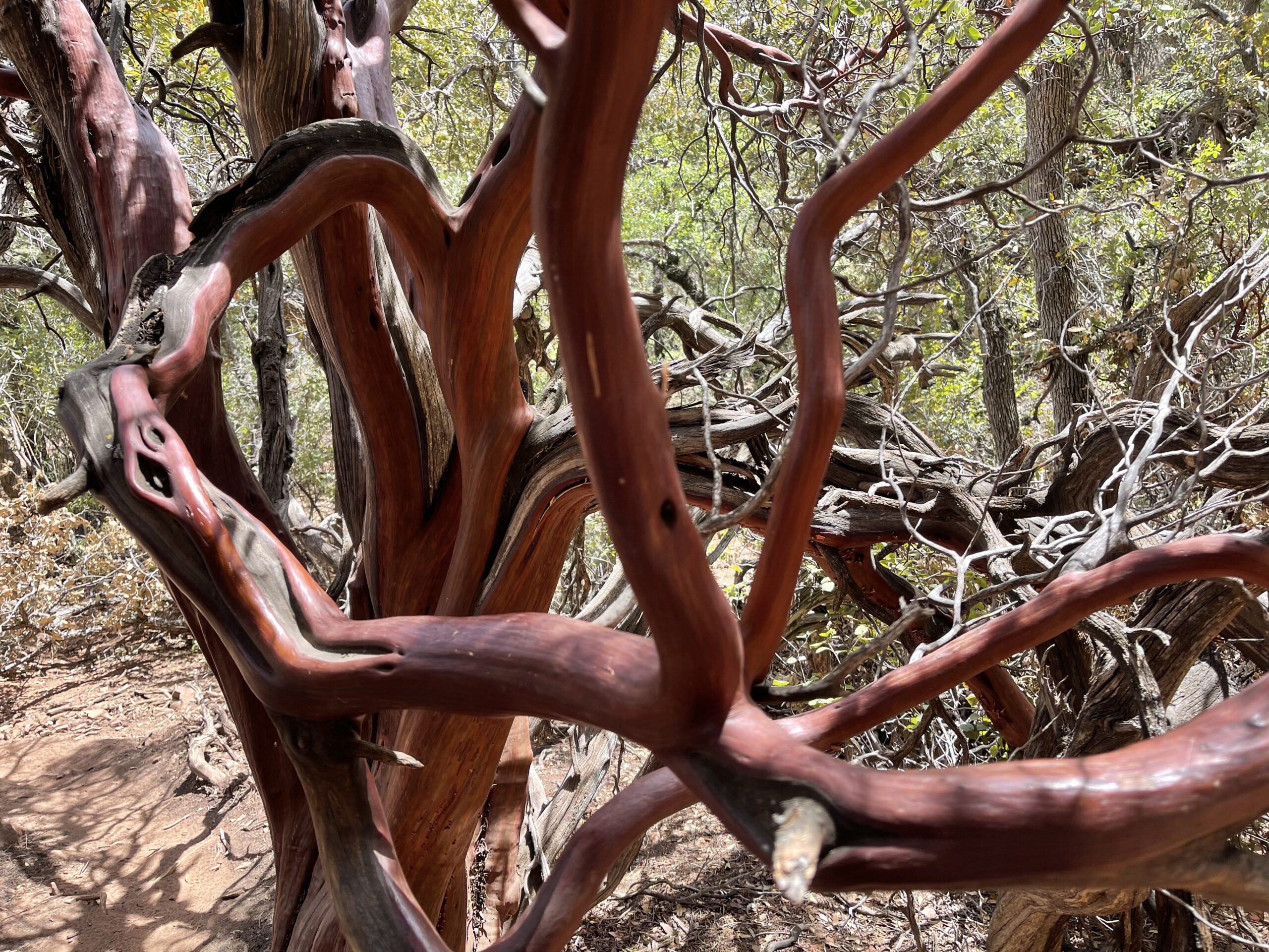
Hoping to see some natural scenic vistas, I next drove up to Sedona, Arizona, which was packed with visitors with the same idea. After wrestling my way into a parking spot, I set out to hike the Boynton Canyon trail, ill-prepared with little idea of what was in store for me.
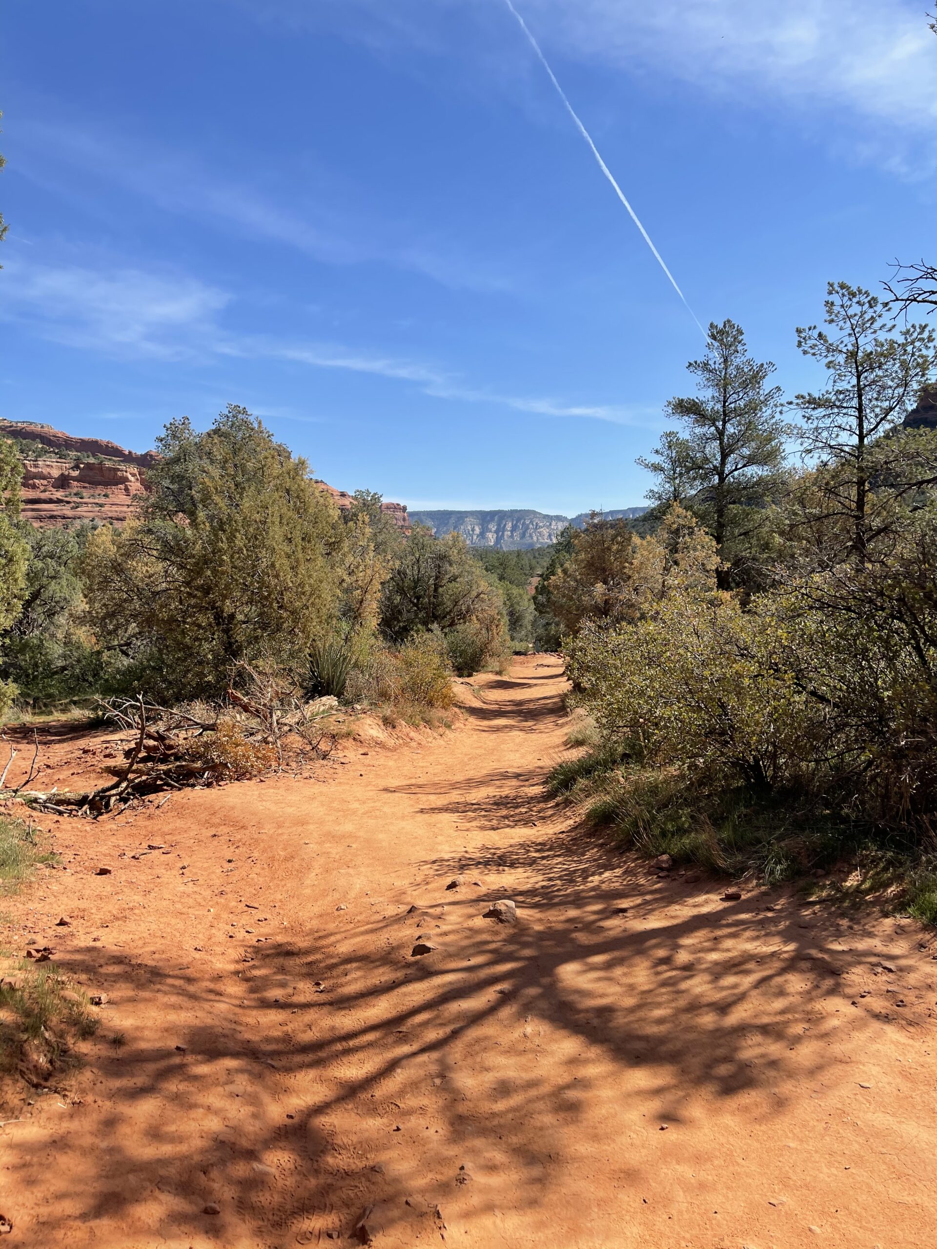
It’s been established that I’m sporadic and ill-equipped with little hiking experience or knowledge, and a non-desire to plan my travel until the penultimate second. This culminated in me setting off on this trail having made a cursory review of google comments (“It’s an easy trail!”), and having not checked the map at the trailhead because some lady was looking at it whom had thoroughly soiled the bathroom accommodations prior to my usage of it, which left me wanting to avoid her selfish personage at all costs. That said, I did set off on the trail at about 9am, armed with my hiking sandals, backpack, water, sunscreen, and sun hat (thank goodness).
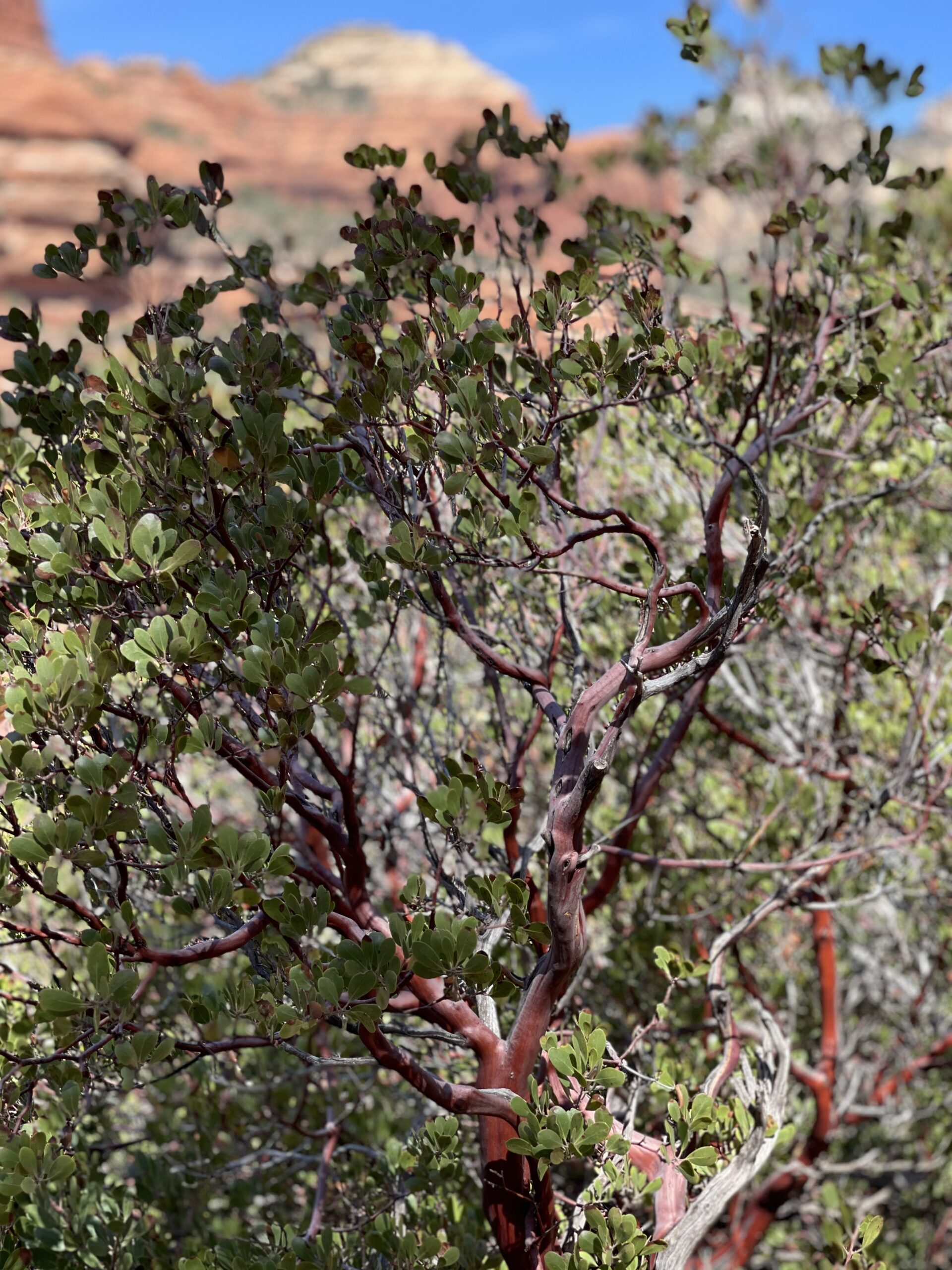
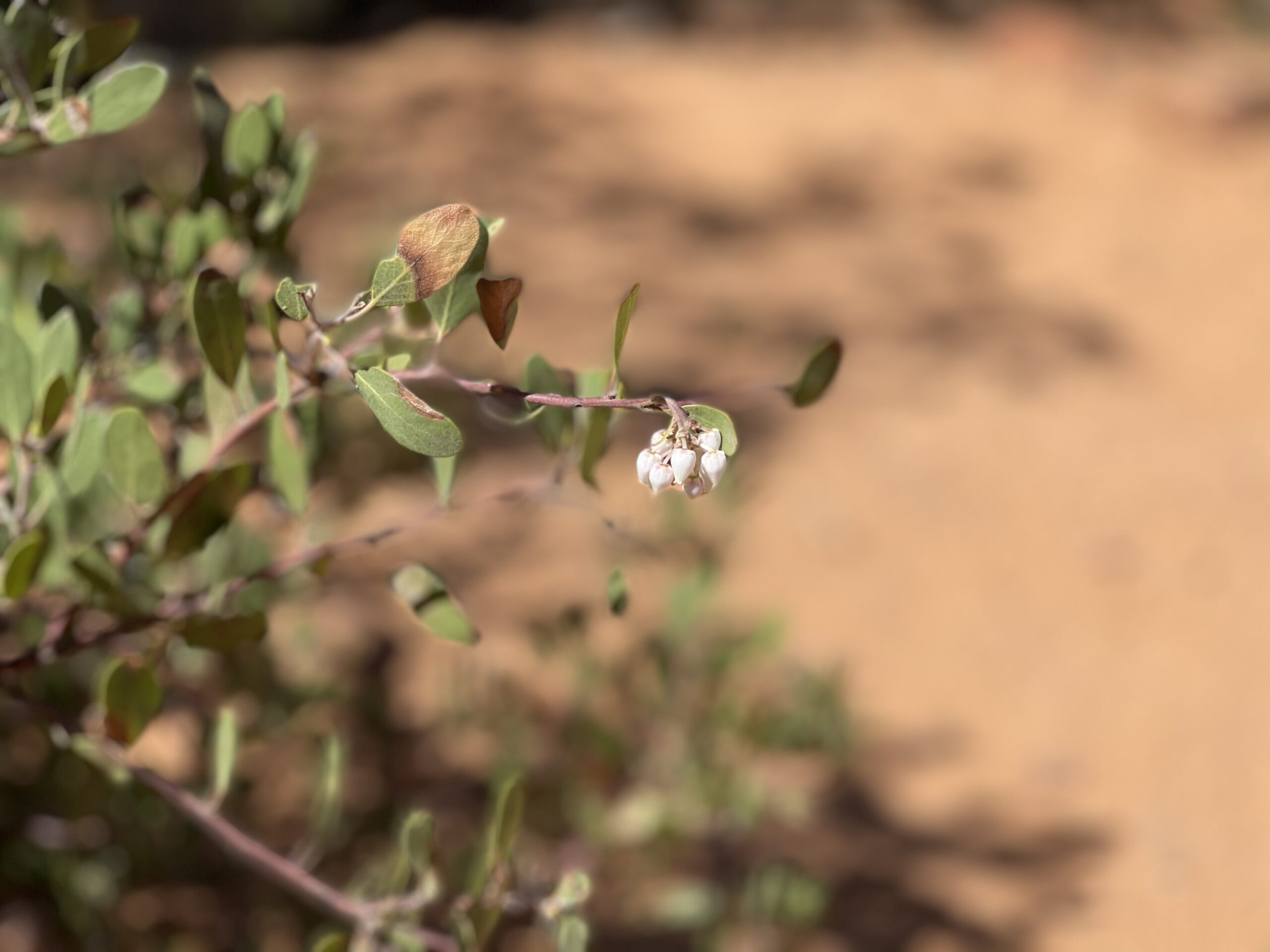
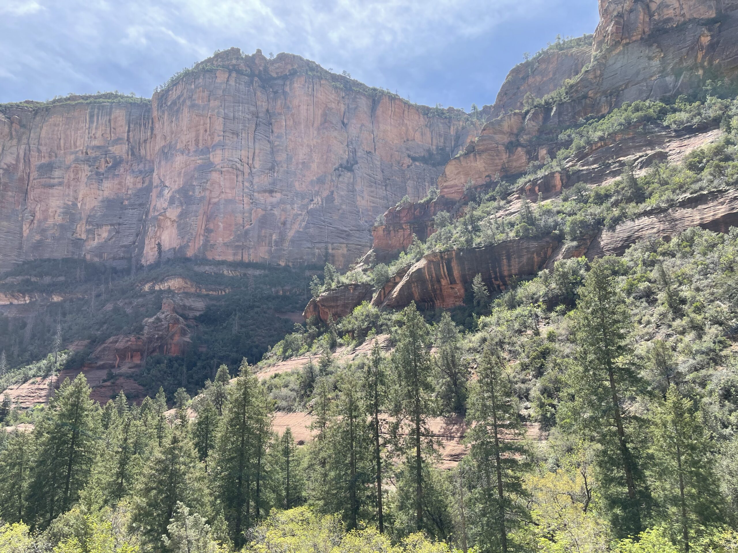
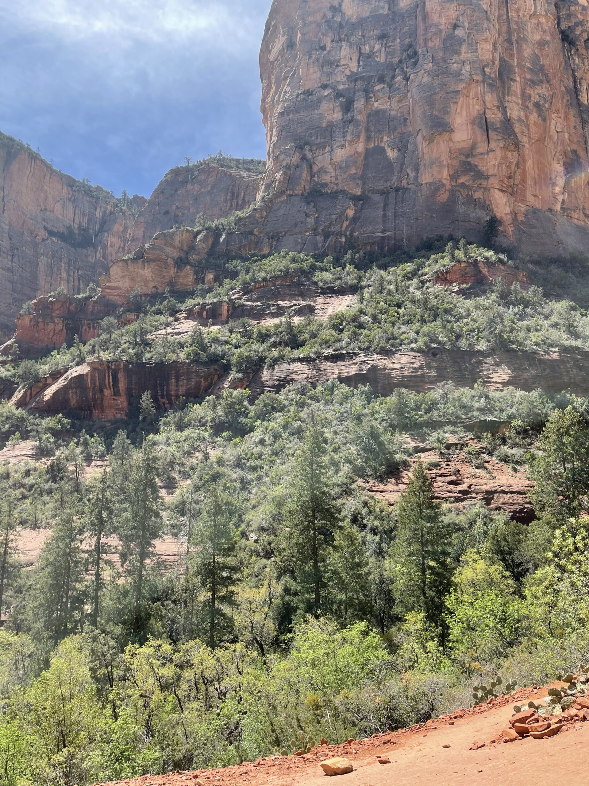
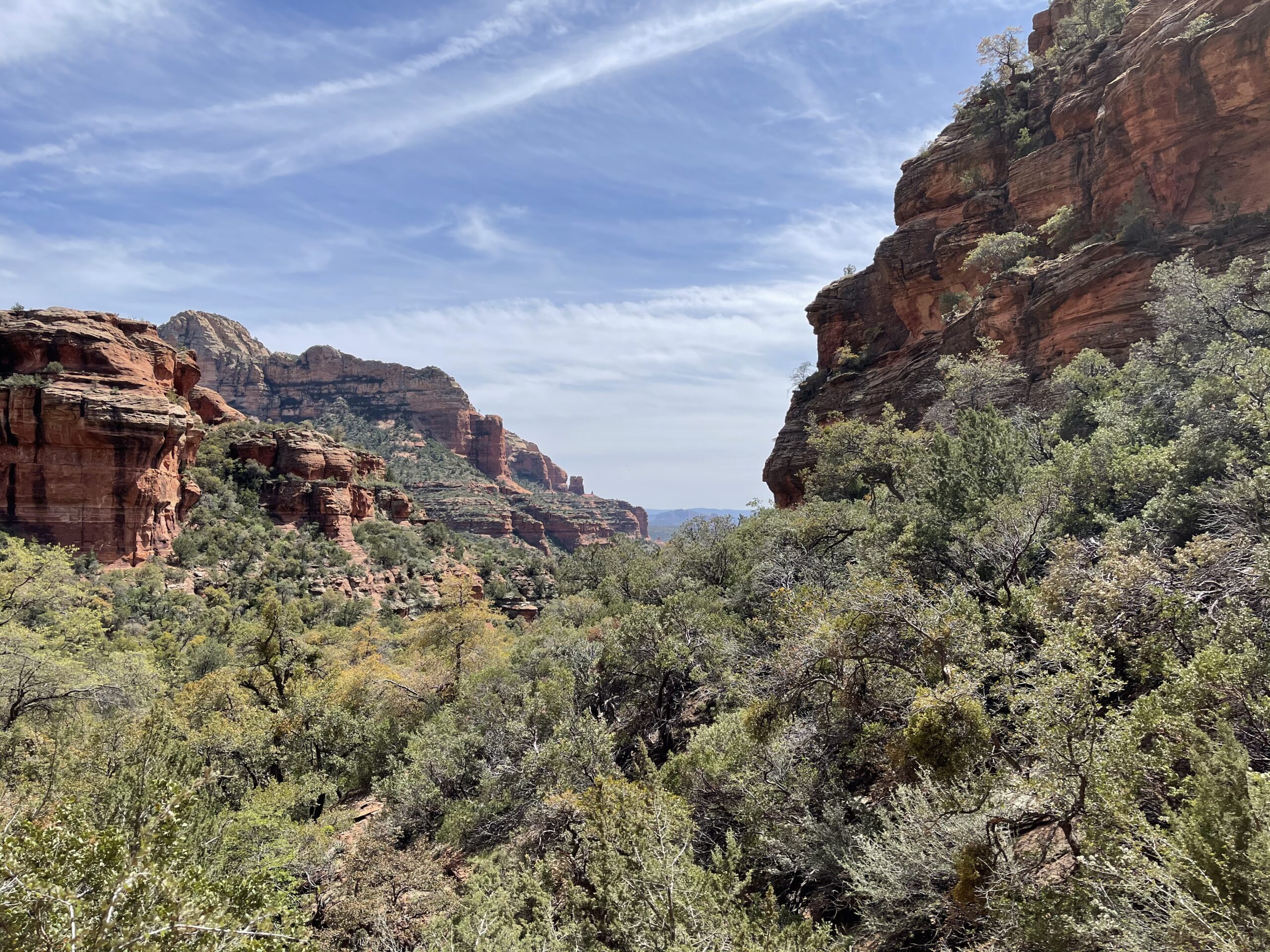
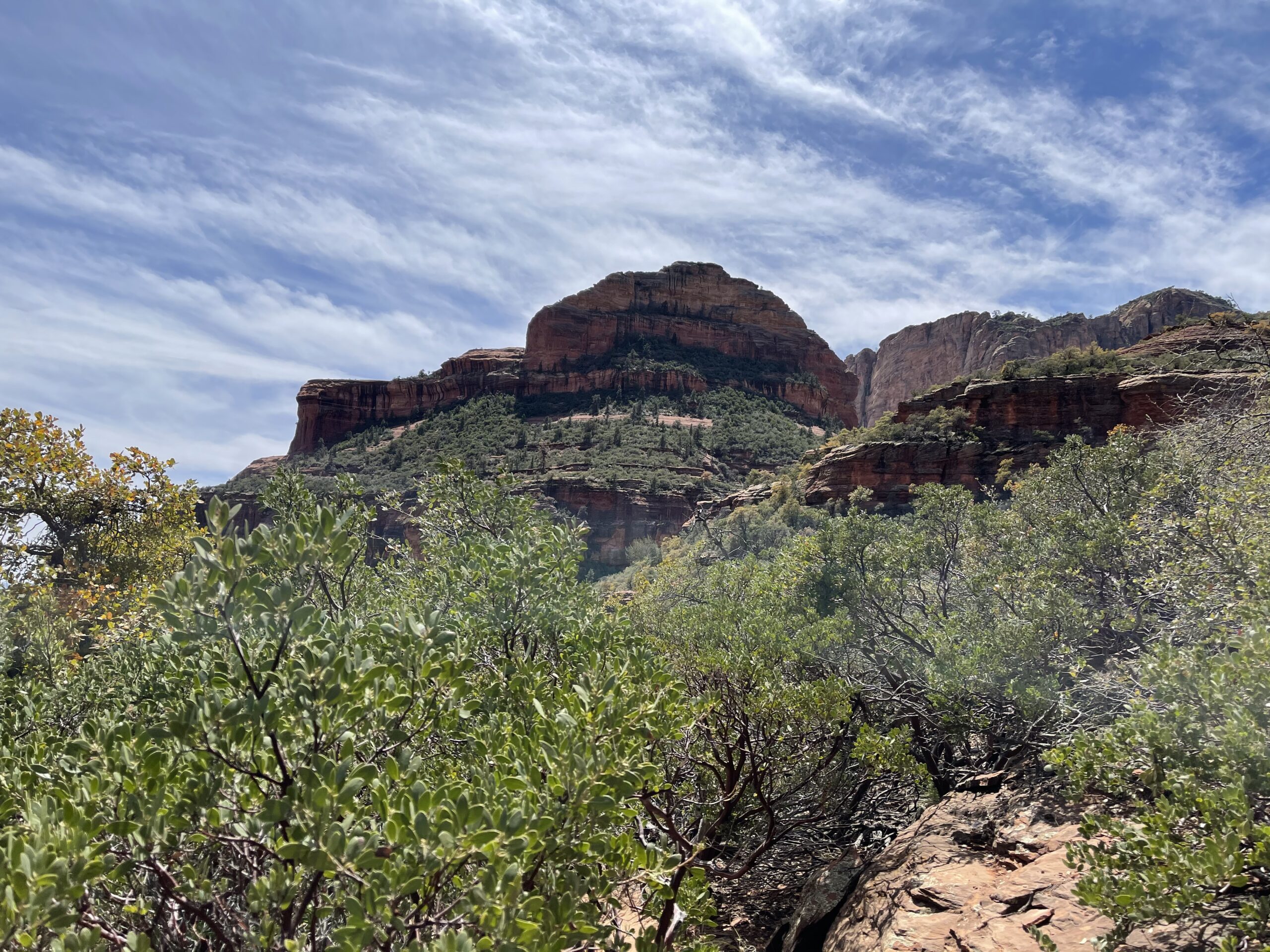
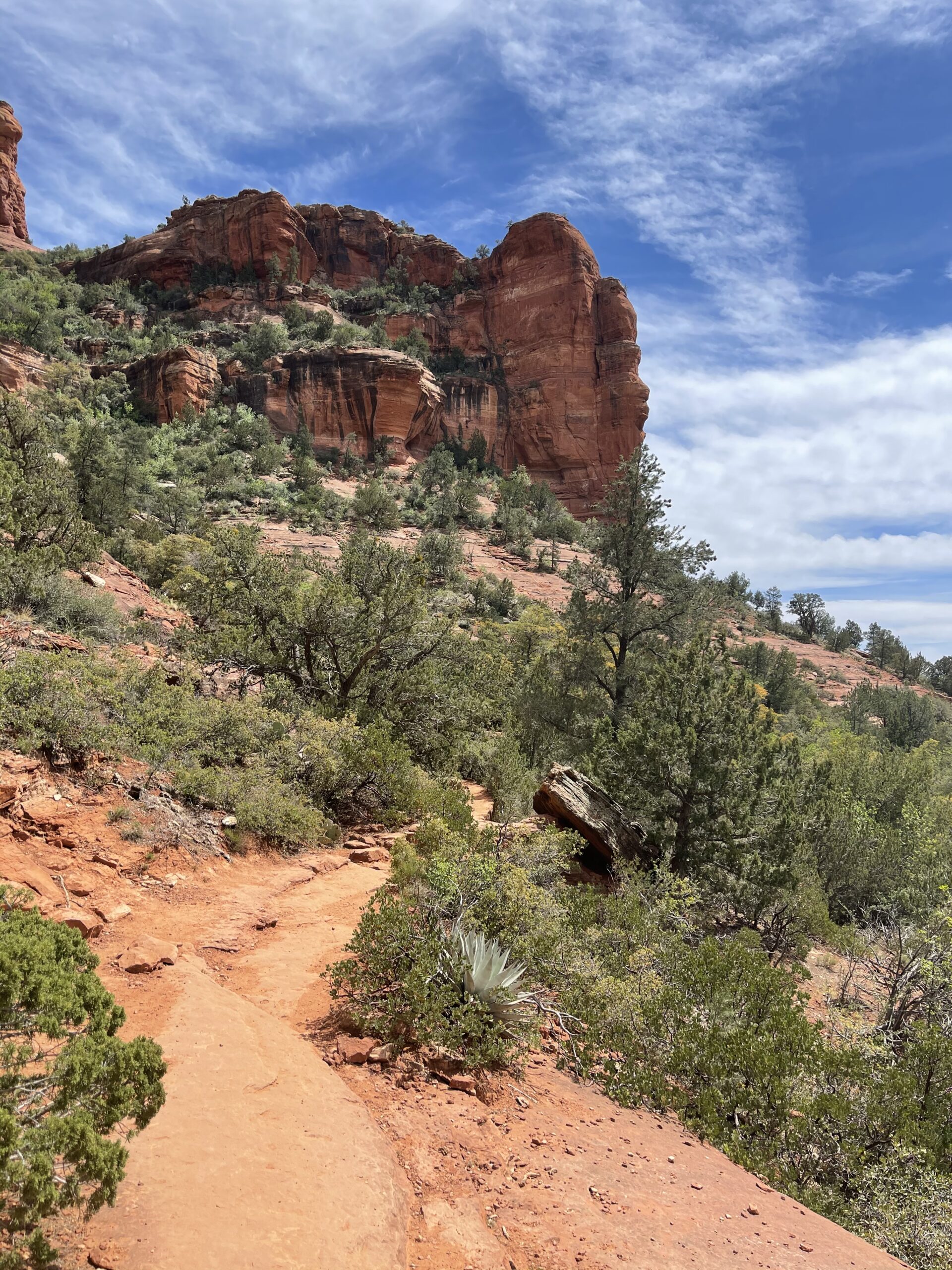
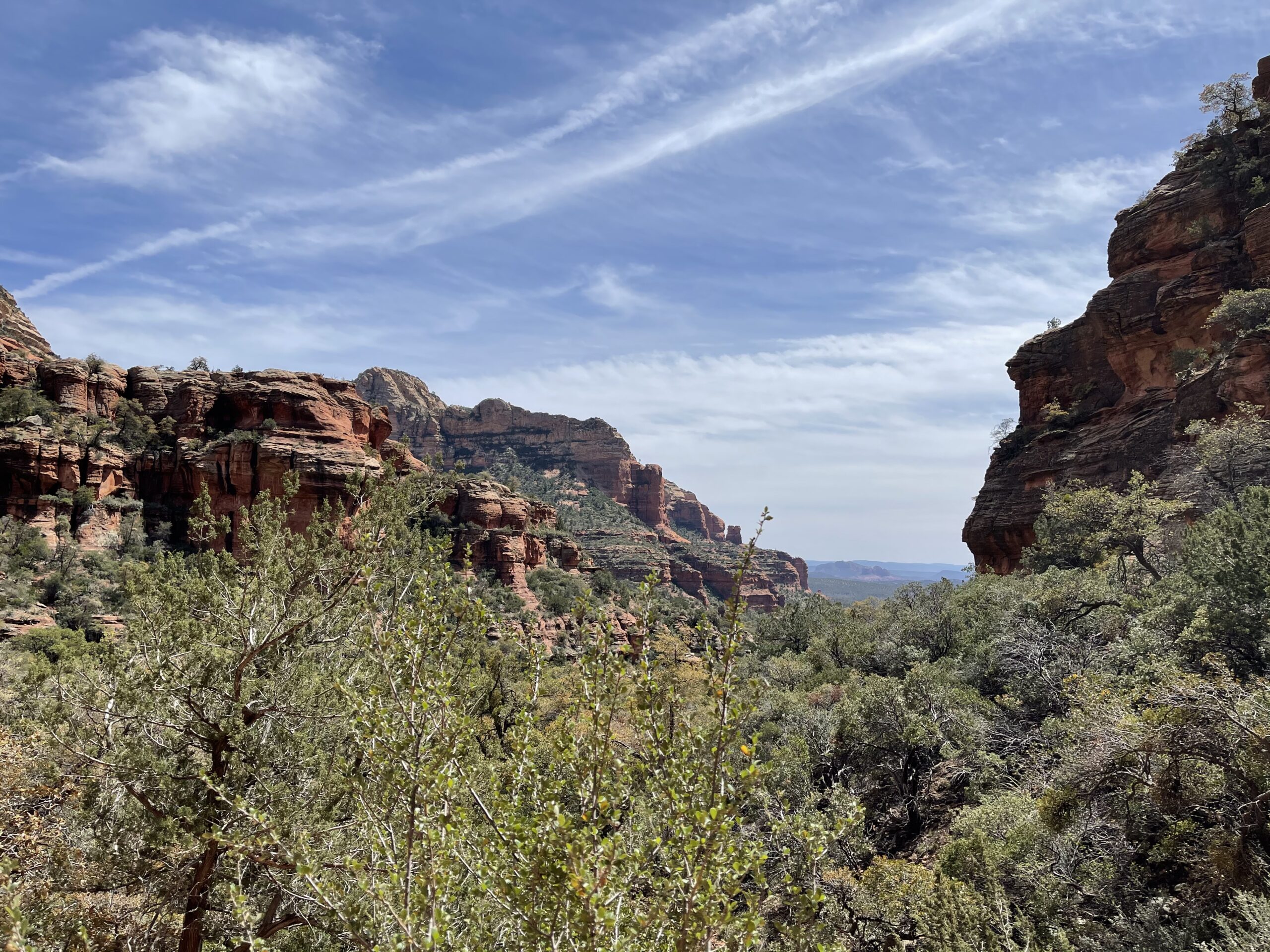
The trail was easy enough, and surprisingly beautiful, with various mountains and buttes revealing themselves to me as I went along. And along, and along. About an hour into the hike a man passed me cheerfully saying, “You’re almost there! Maybe another 45 minutes.” What??
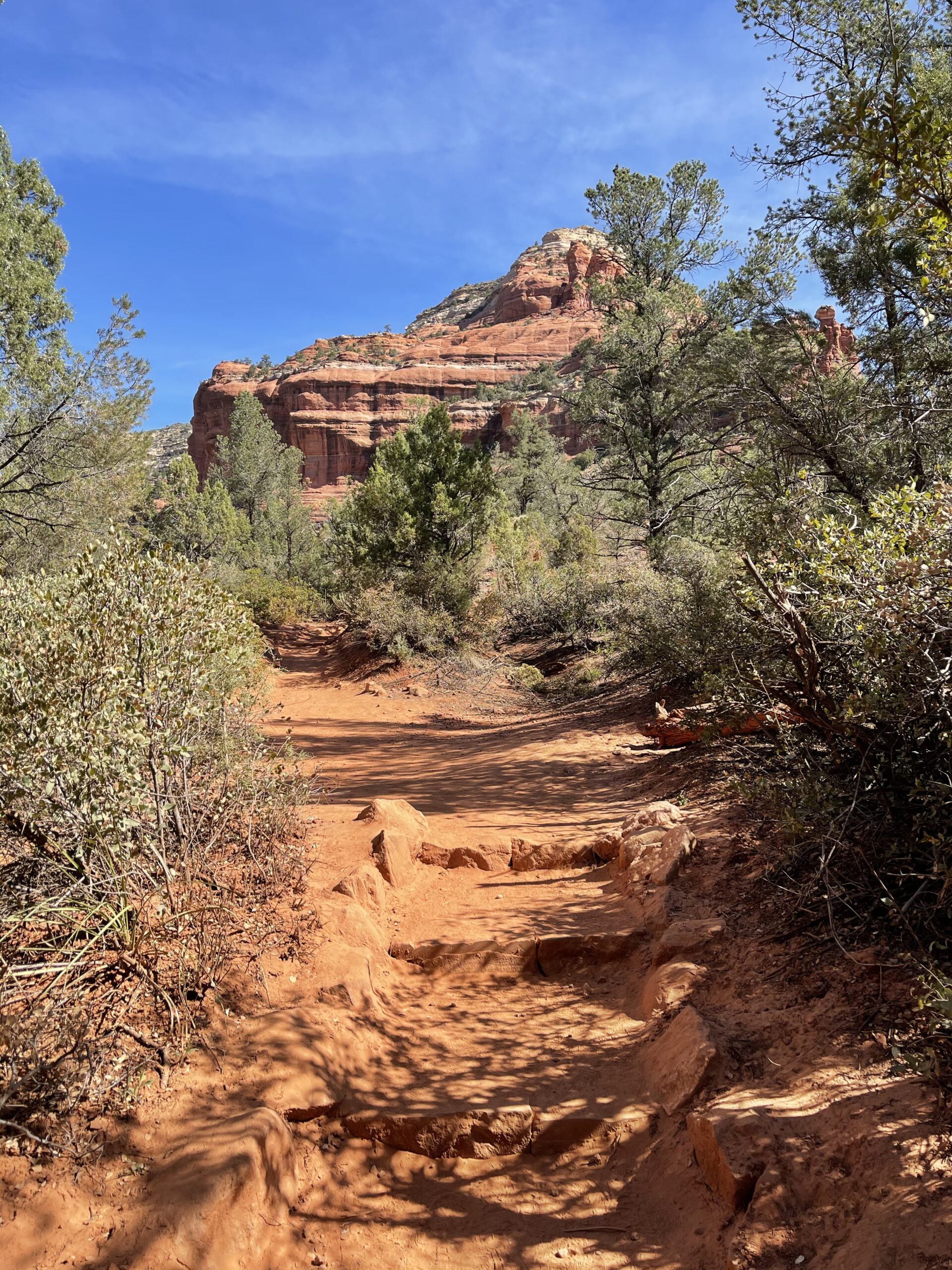
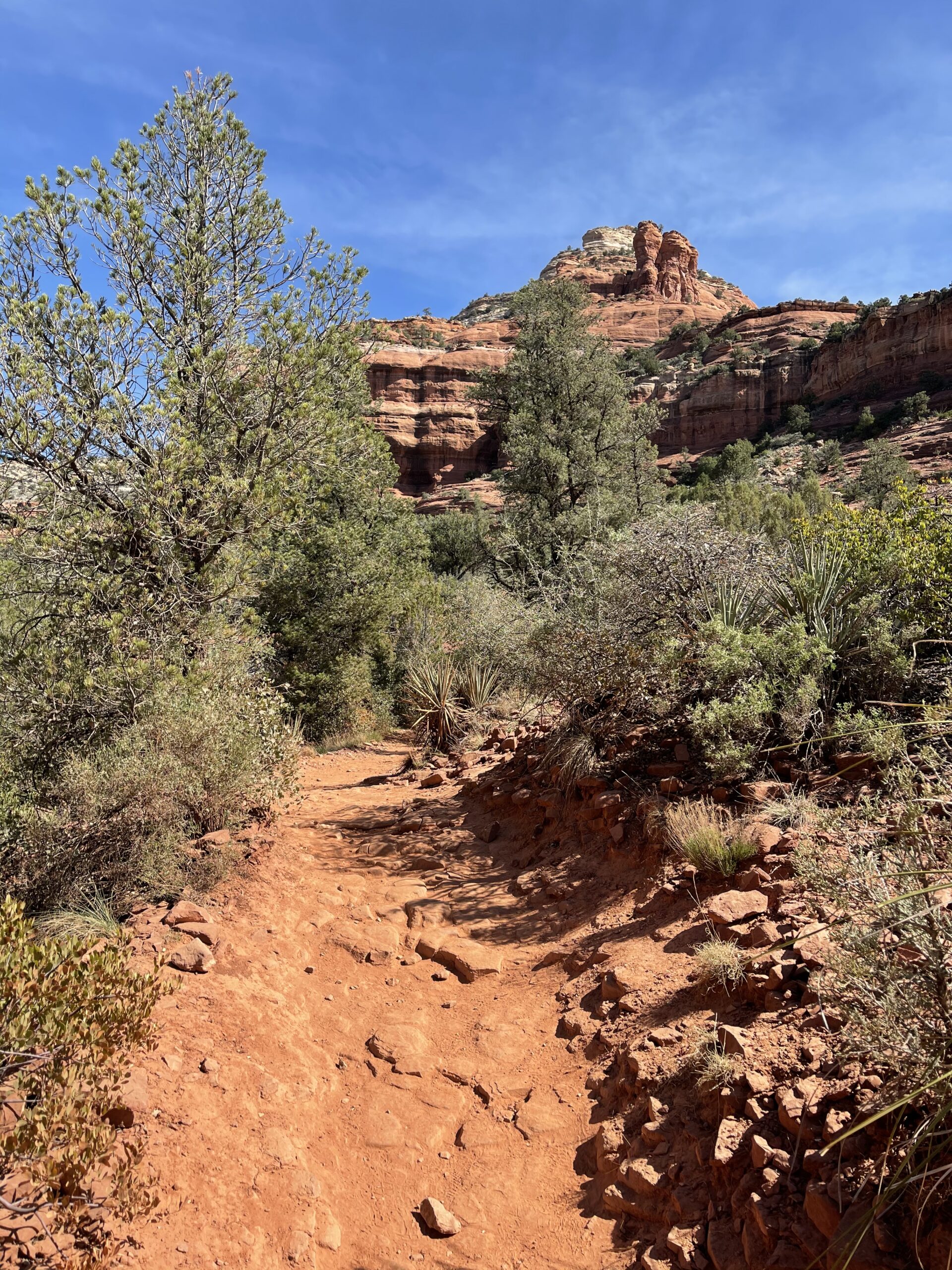
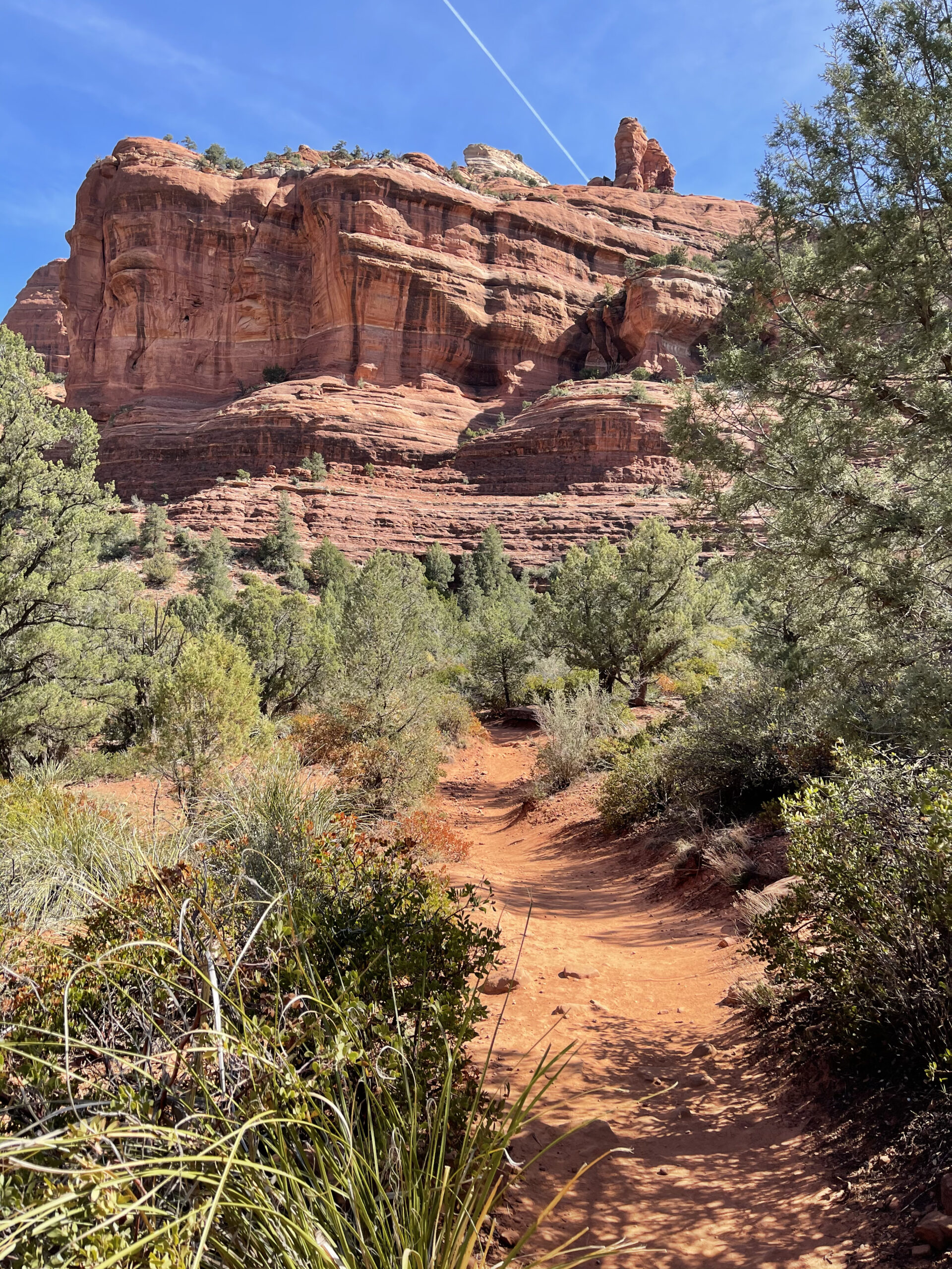
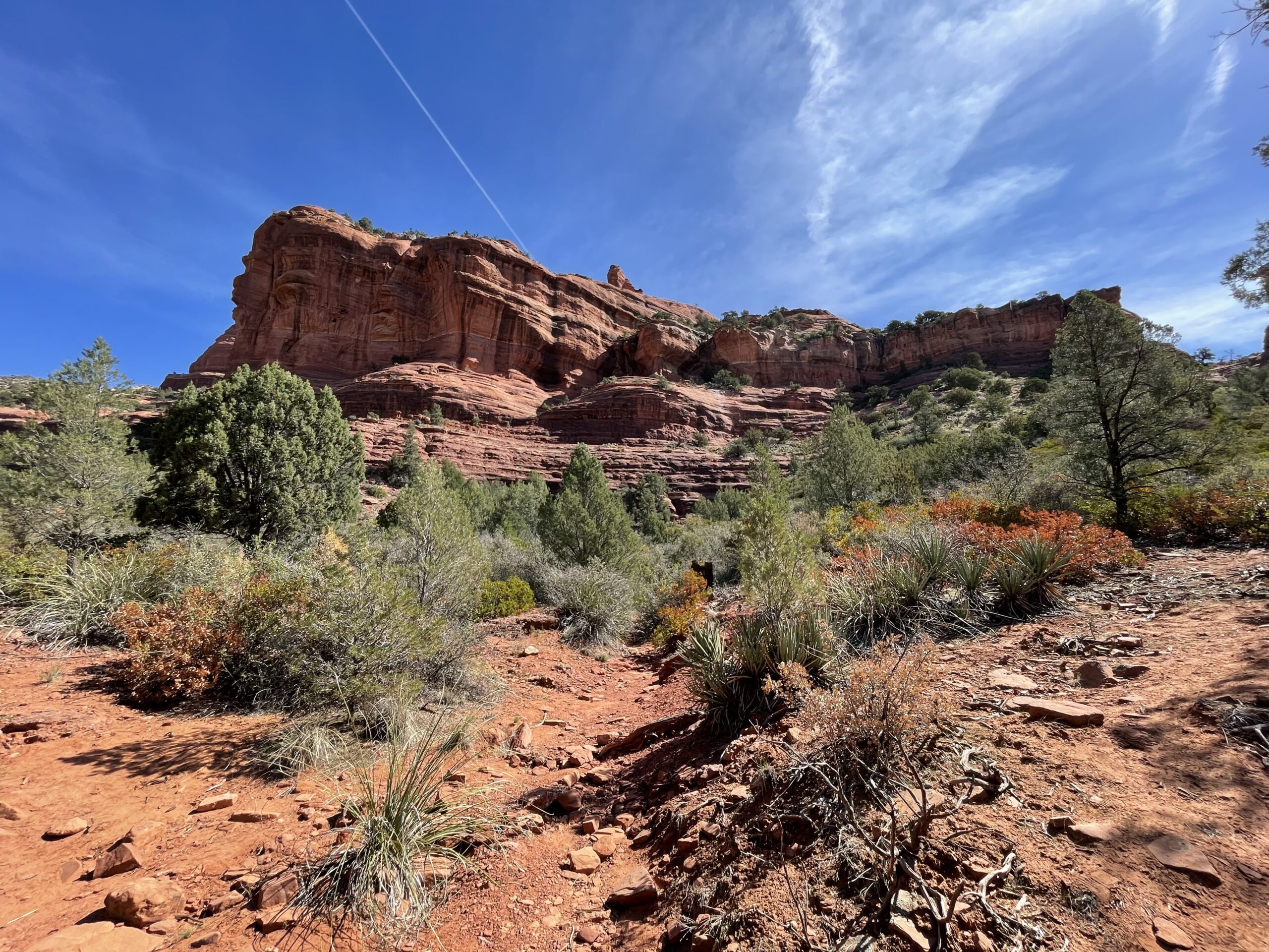
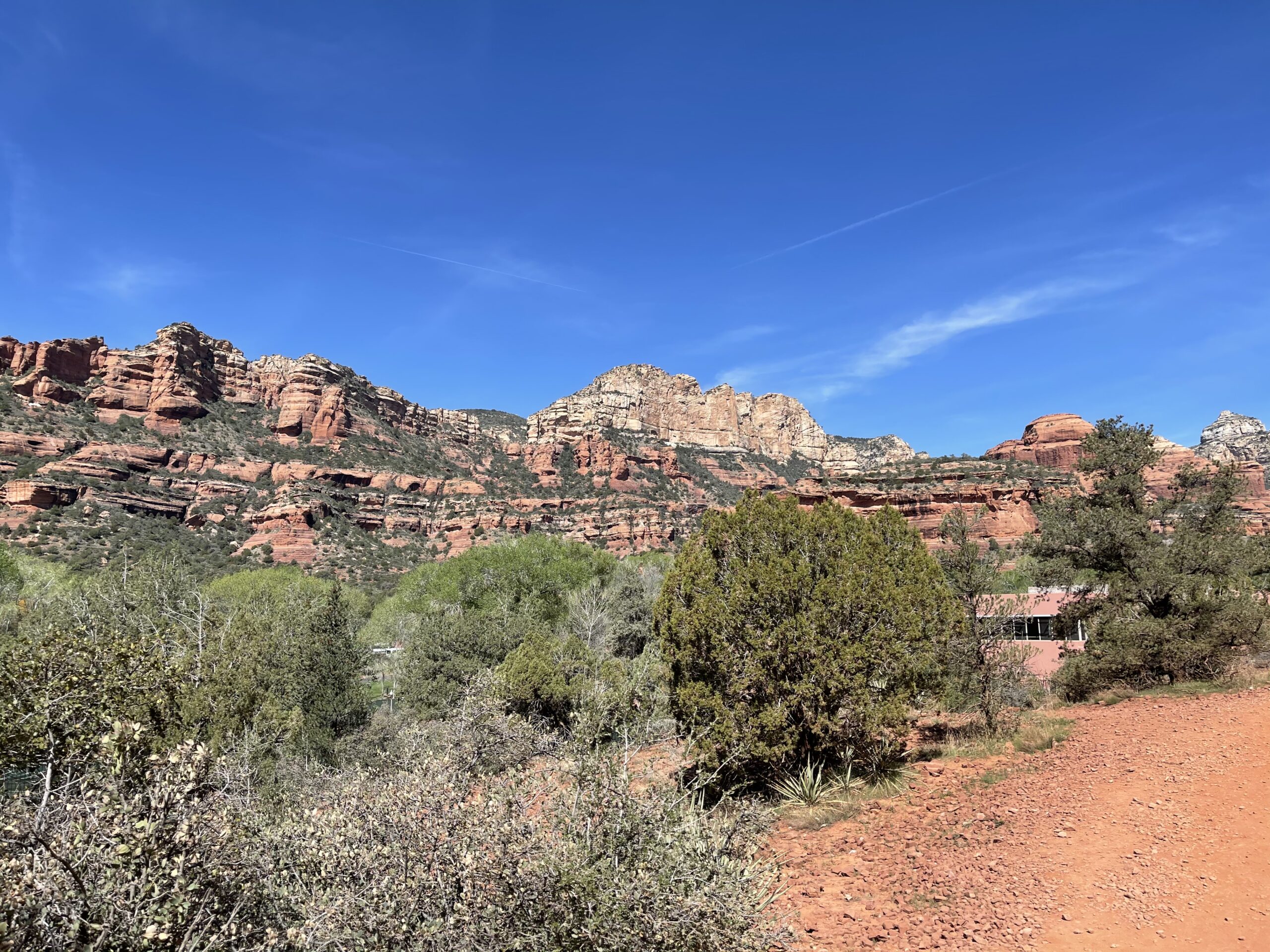
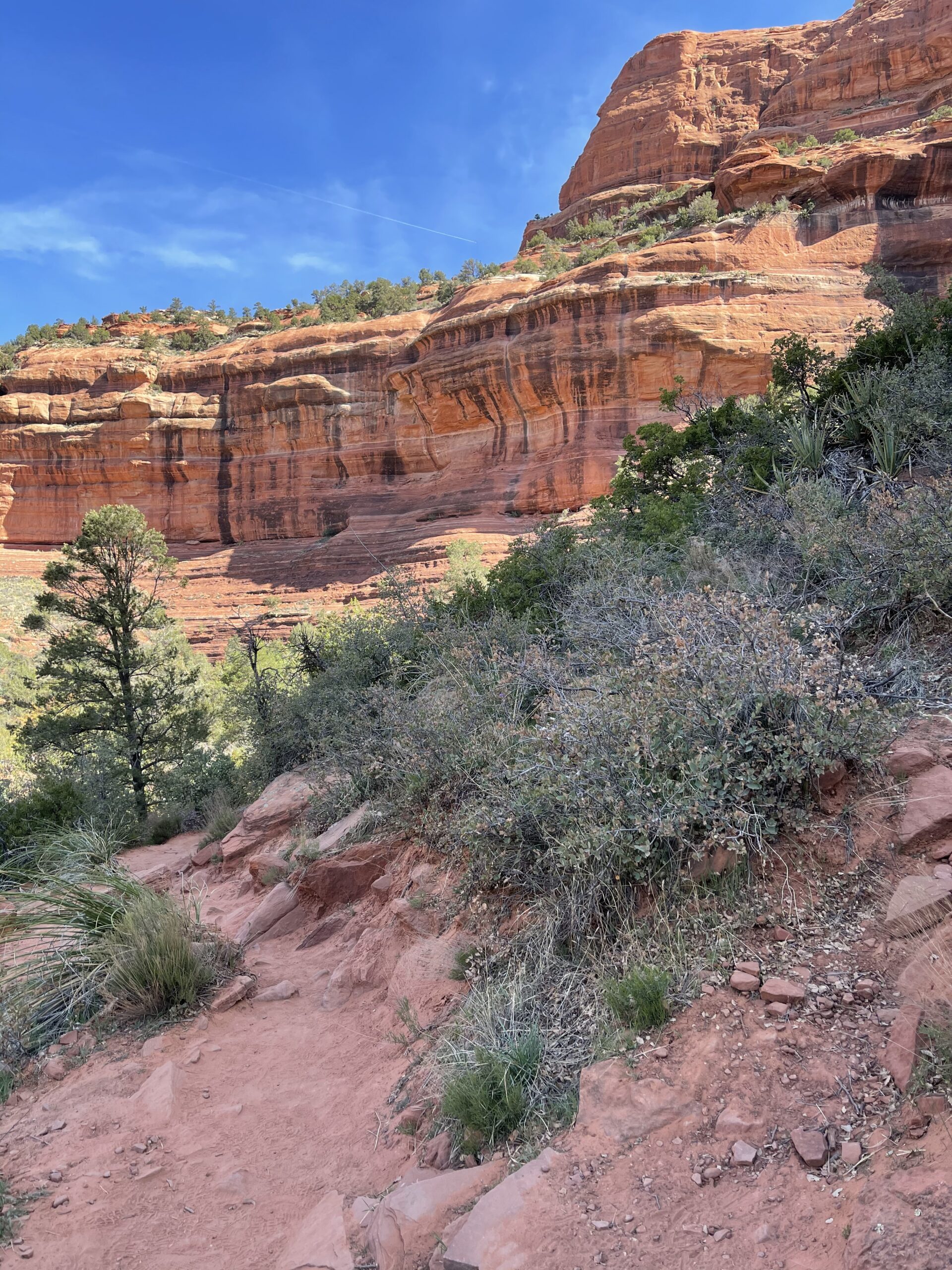
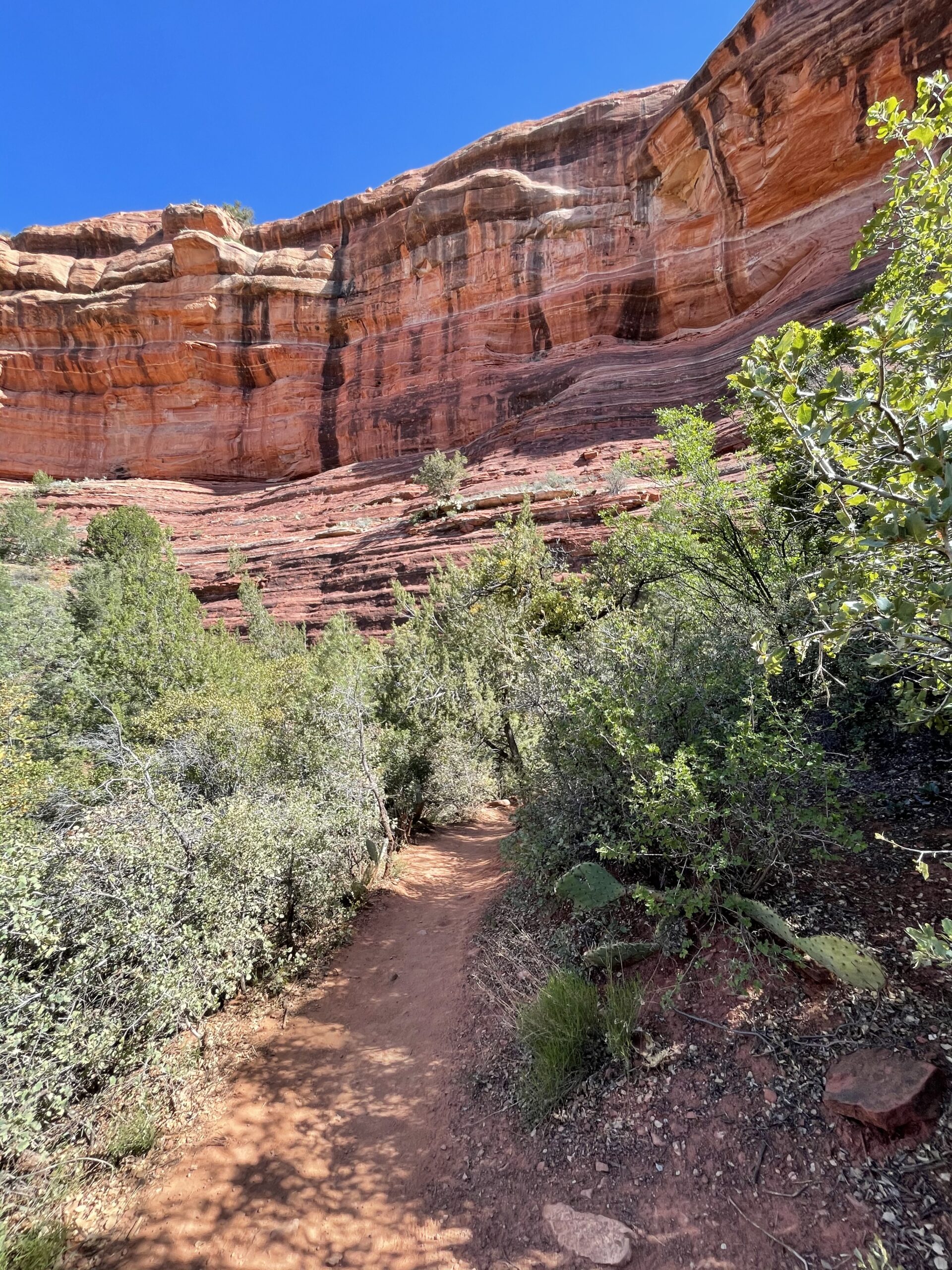

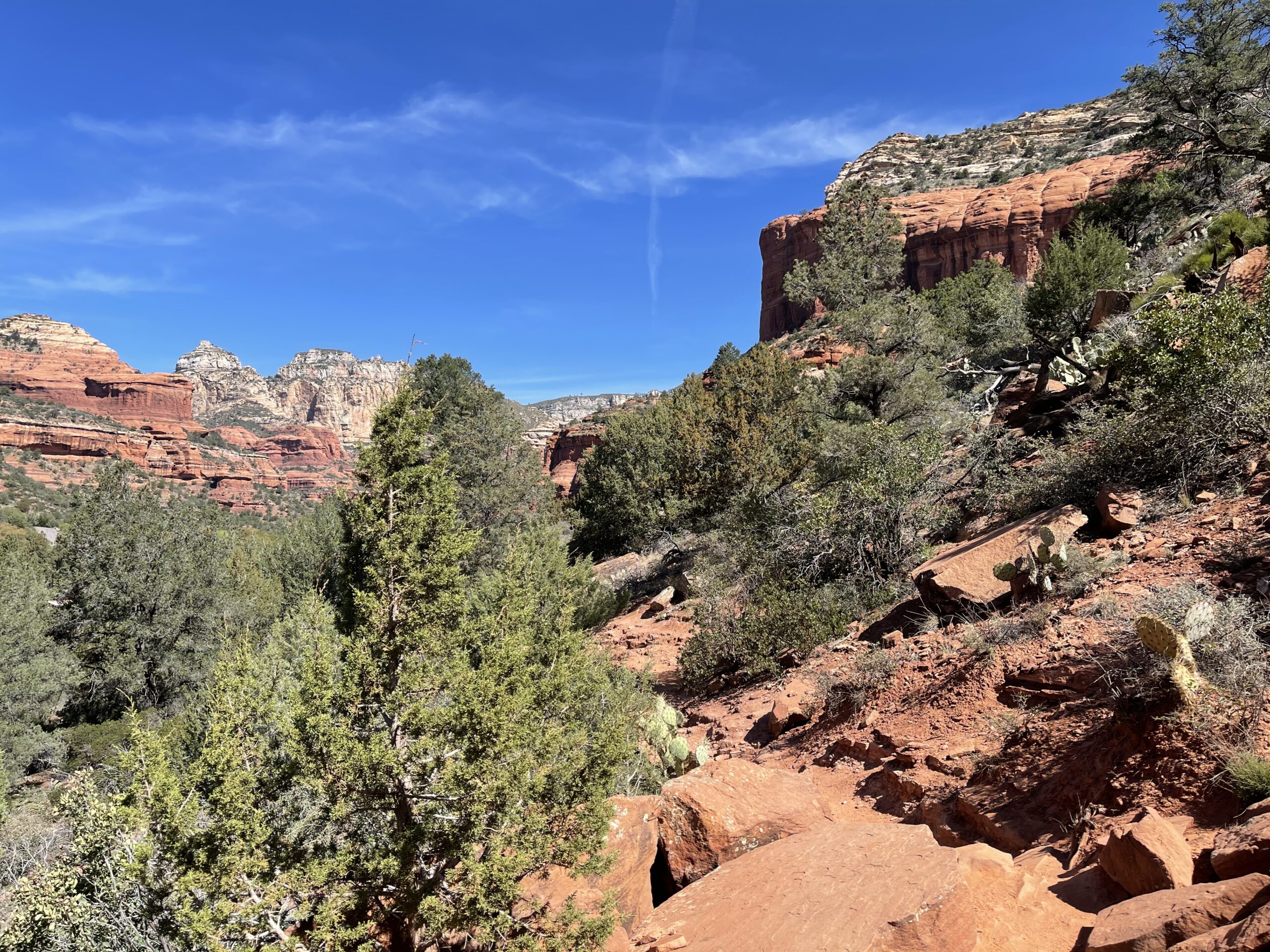
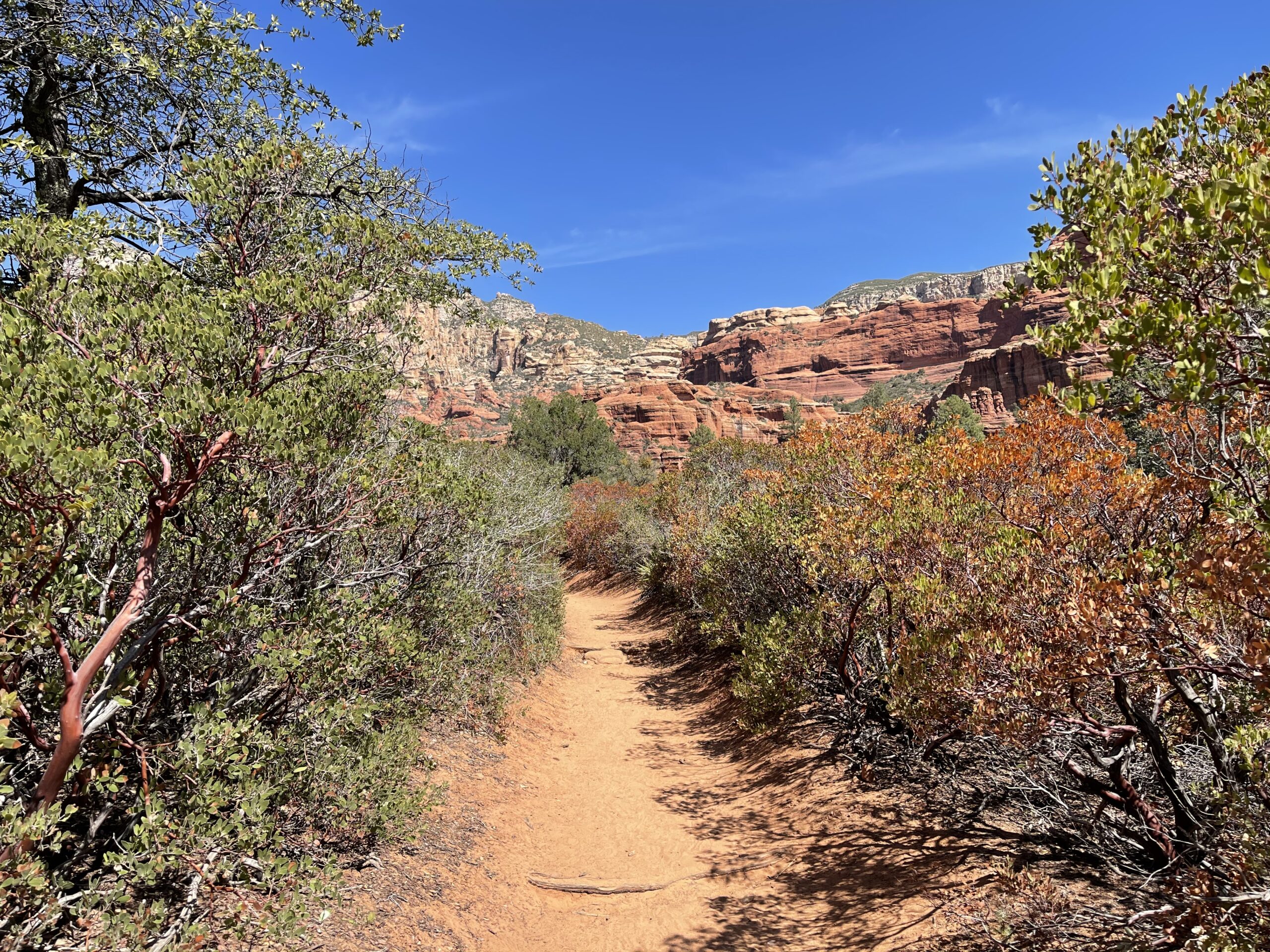
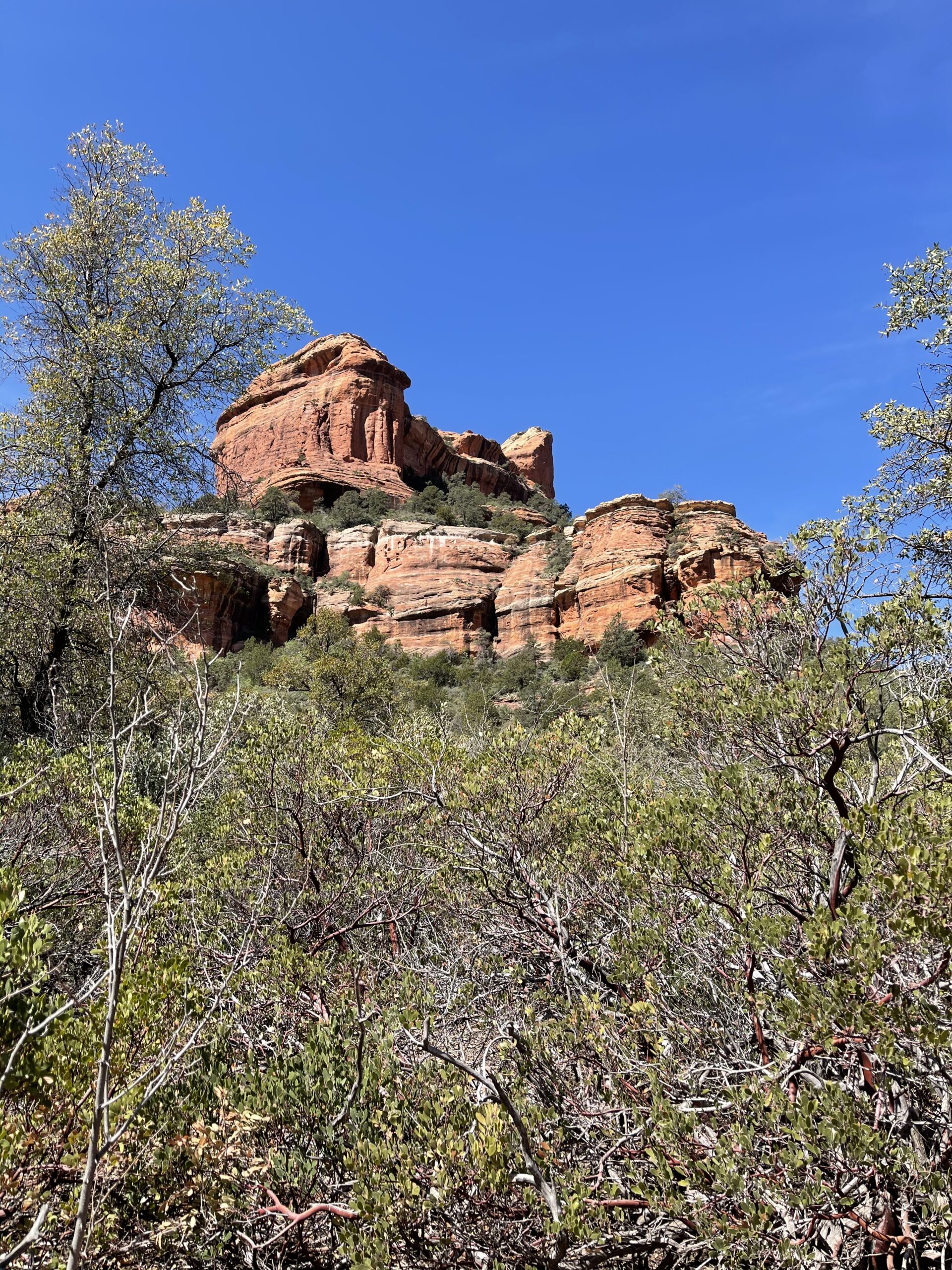


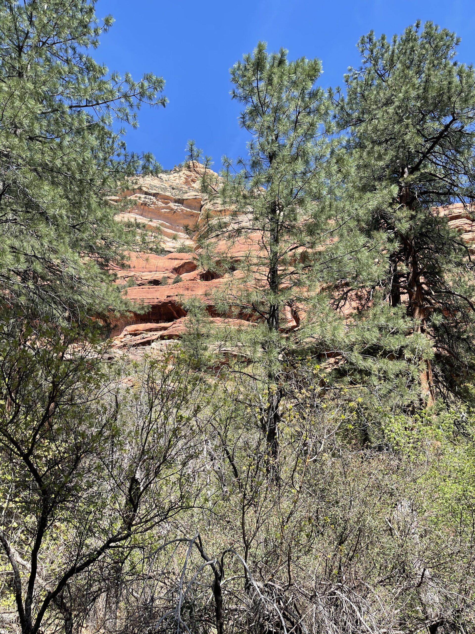
This trail was pretty long, and I was taking my time to see things. And, dayum. Lots of uphill action and rocks. But at the end, a spectacular canyon view awaited me.

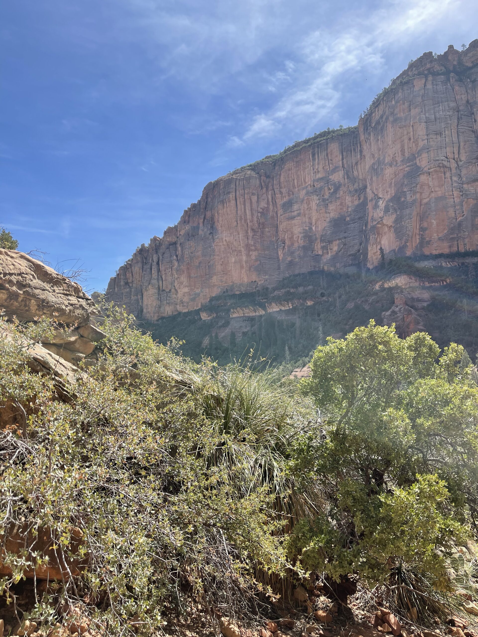
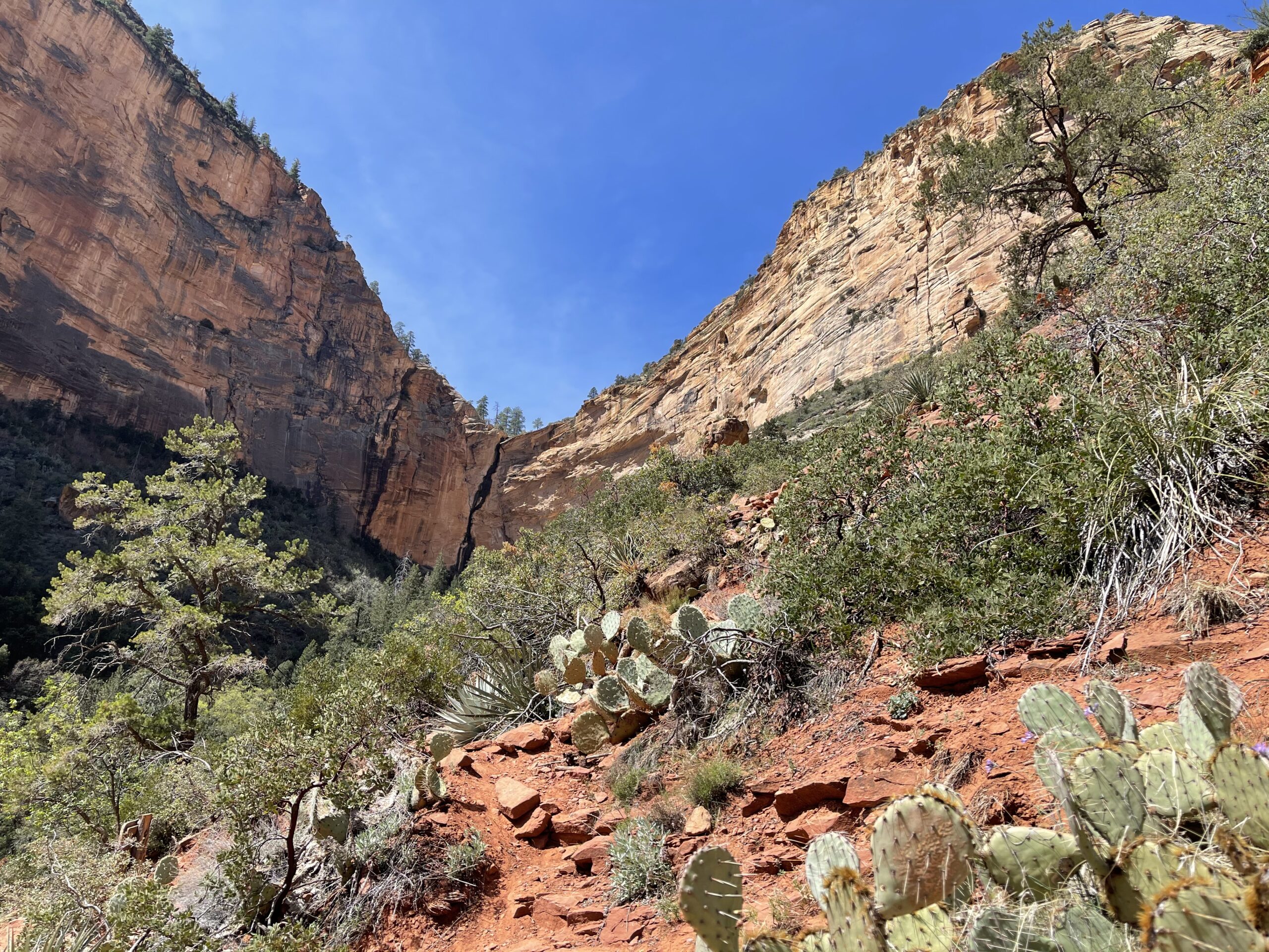

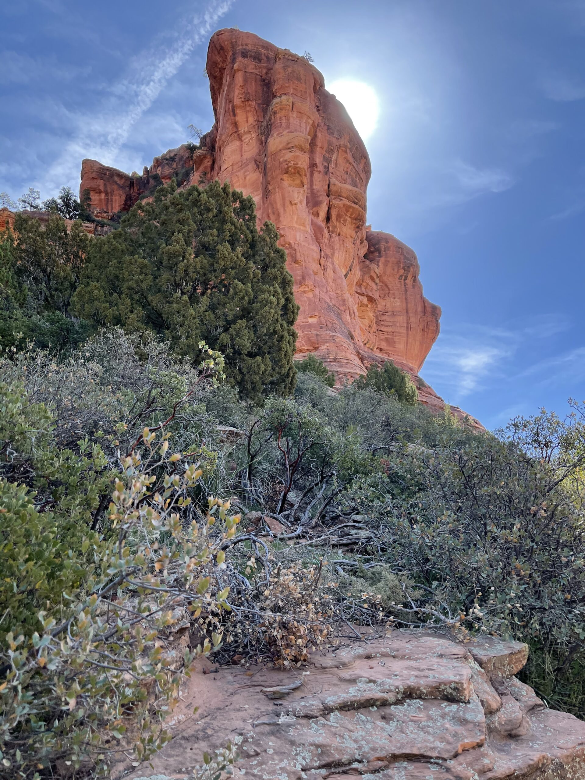
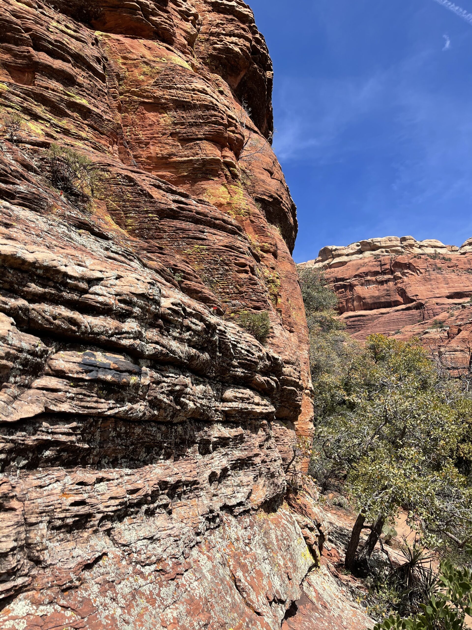
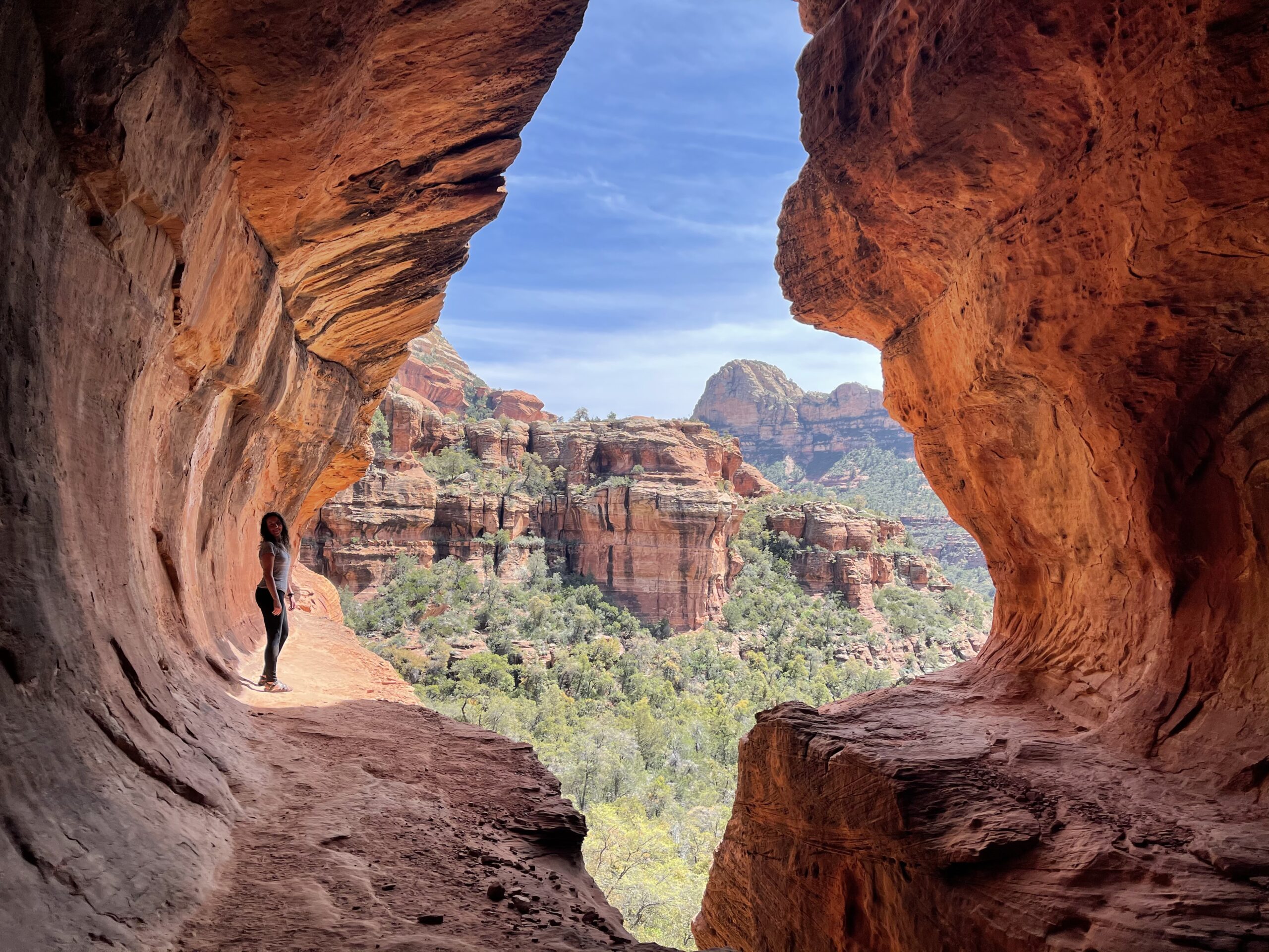
While at the canyon view, folks were talking about an alternate unmarked trail that branched off of the present one. I begrudgingly decided to check it out despite the protestations of my feet. I’m here now, aren’t I? So, more hiking. Woo!
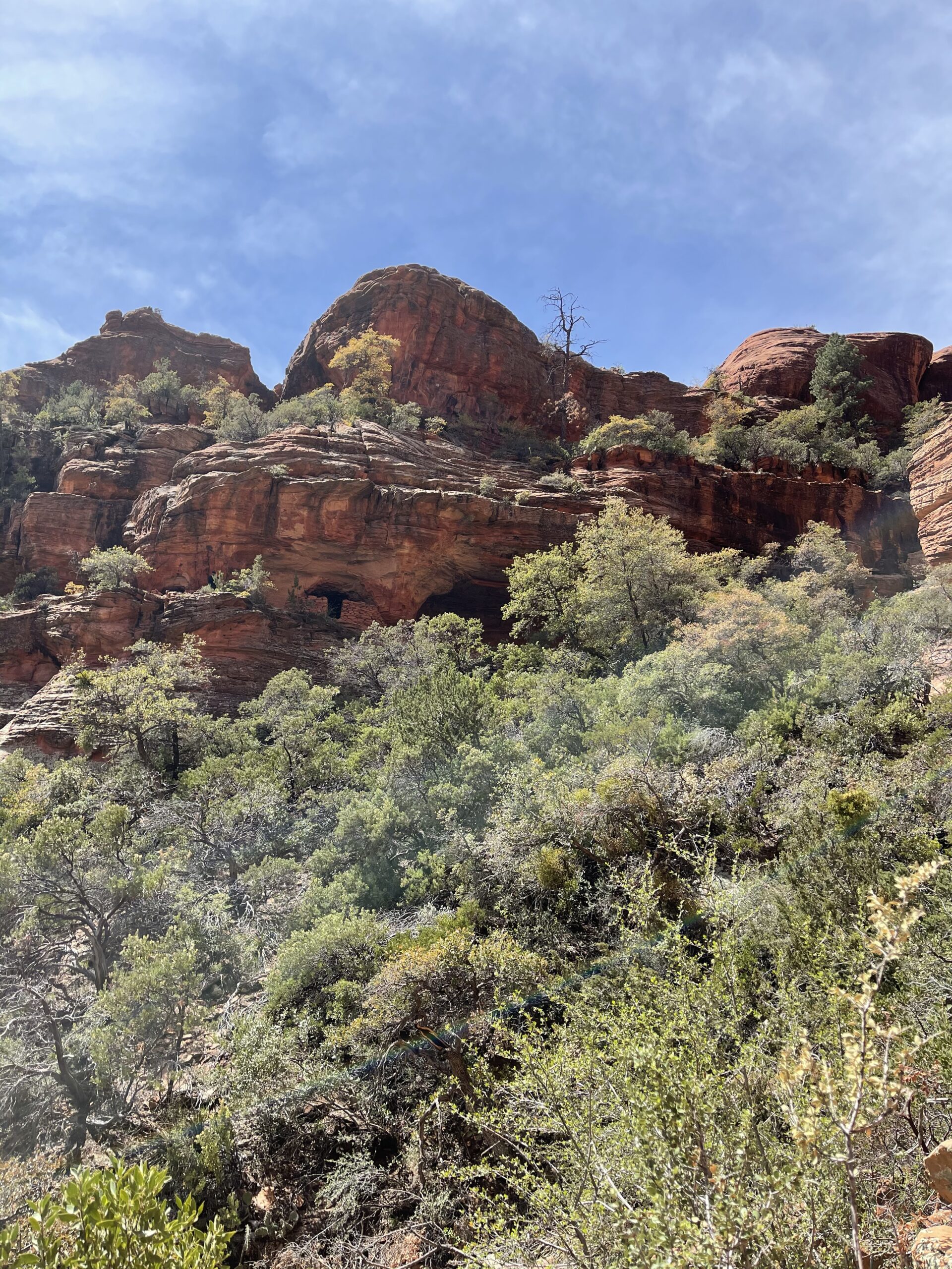
We made it to the cave area that the hikers had spoken of, only to be greeted by these two thirty-somethingyearolds trying to scramble down a steep rock face, getting stuck, and worrying aloud. OK? Oh, that’s the trail. Cool.

The climb up.

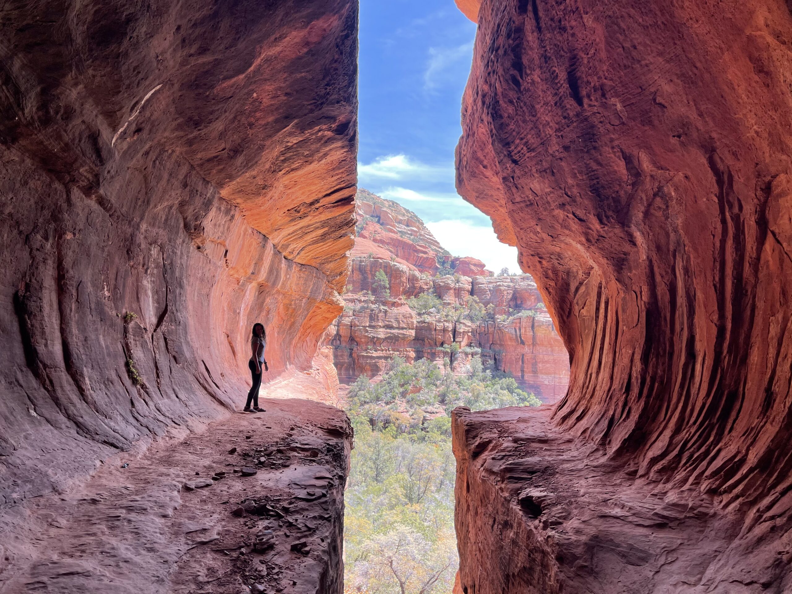
So, I hiked up this trail with help and assistance from my newly-acquired peers and somehow scaled the rock in my non-tractioned sandals (lesson learned — I had traction trail shoes gleefully awaiting me in the car). It was quite scary, as I’d suffered a major slip-and-fall back injury that had imparted some measure of chronic pain about 5 years prior.
And the view was phenomenal! And, horrifying. Standing on a rock face like that with the view down and out made my knees weak. But I was glad to have seen it. Once.

Getting down was a trip — I basically slid down the rock on my ass, thankfully not reinjuring my tailbone and spine in the process.
The slide down.

The walk back to the car was long (I later learned that the trail was over 6 miles), but I was extremely grateful to have allowed myself, despite my resistance, ill preparation, and non-athleticism, to scale the trail. That felt like a victory.
On my last trip, my hiking sandals made every visit with me. I’m fortunate to have acquired some good trail shoes which have been newly reinforced in my mind as my new go-to’s for hiking because I would certainly not want my ill preparation to get in the way of having such an experience again. That said, I also plan to scope out my hiking spots a little more thoroughly in the future 🙂


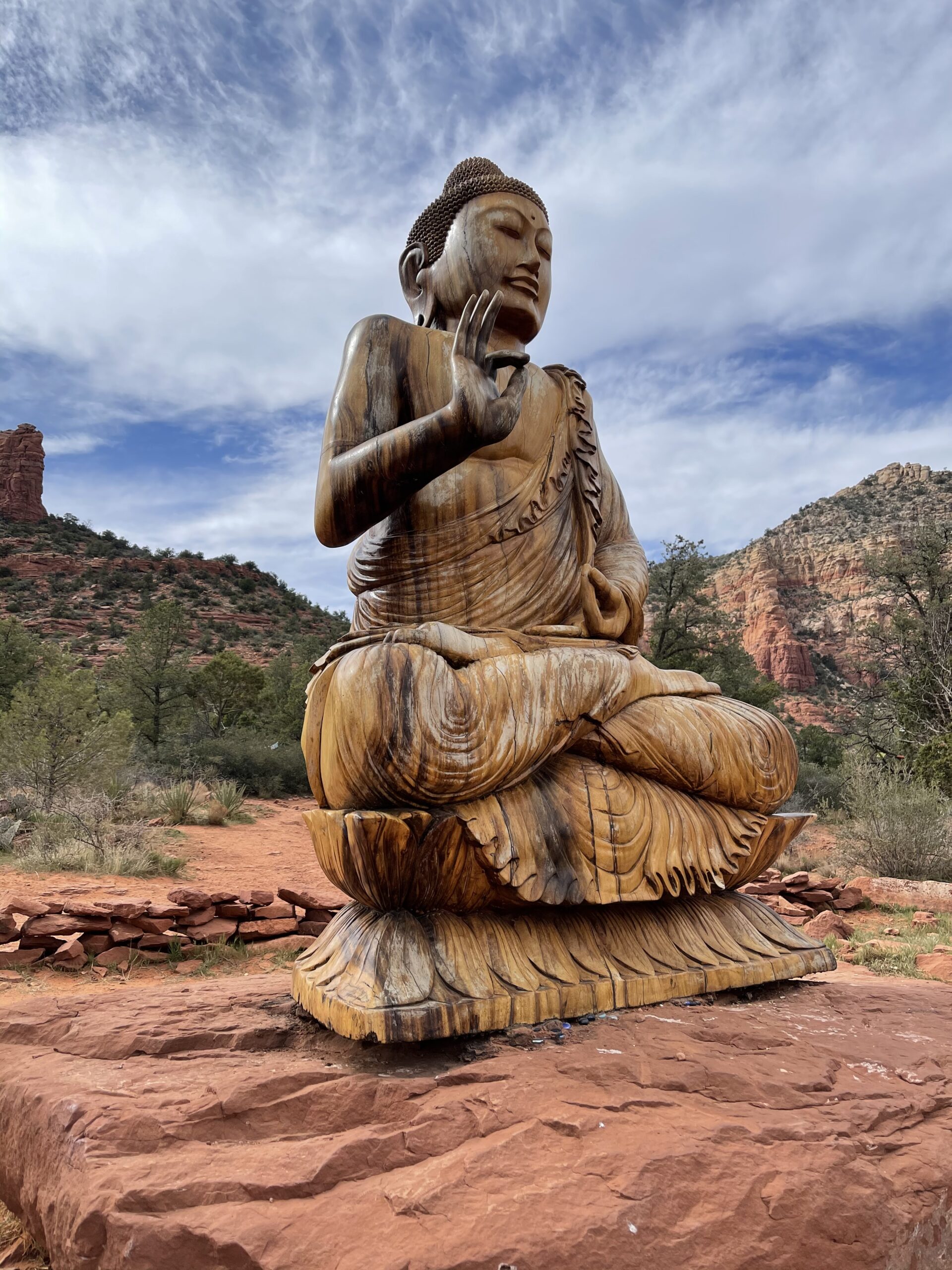
After this long excursion, I made the short trip over to the Amitabha Stupa and Peace Park and spent some peaceful time resting in meditative silence to recover and reflect.