As I continued Westward into Utah, I decided to make my trip last a little longer and traveled up North past the Monticello mountains toward Moab.
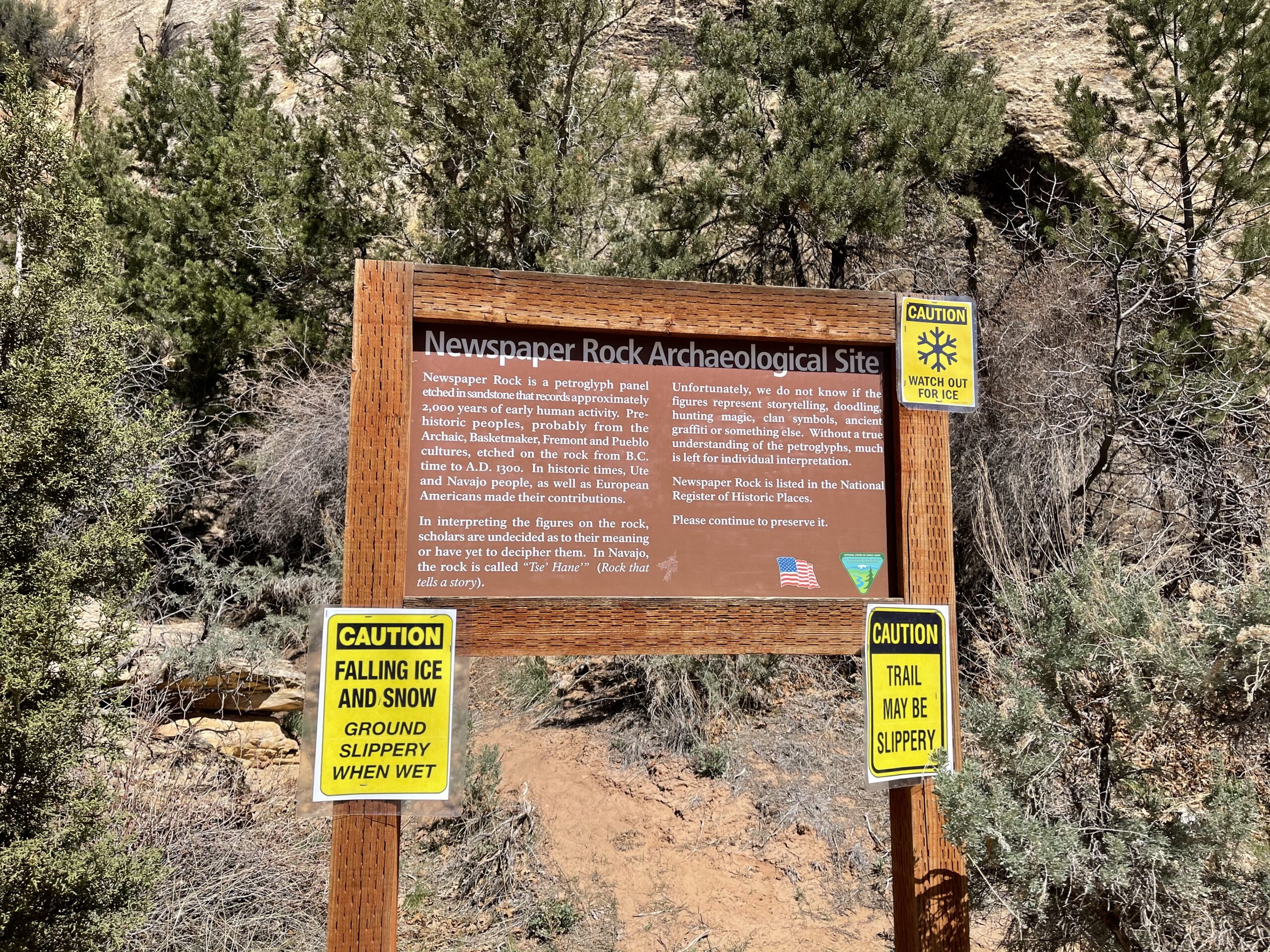
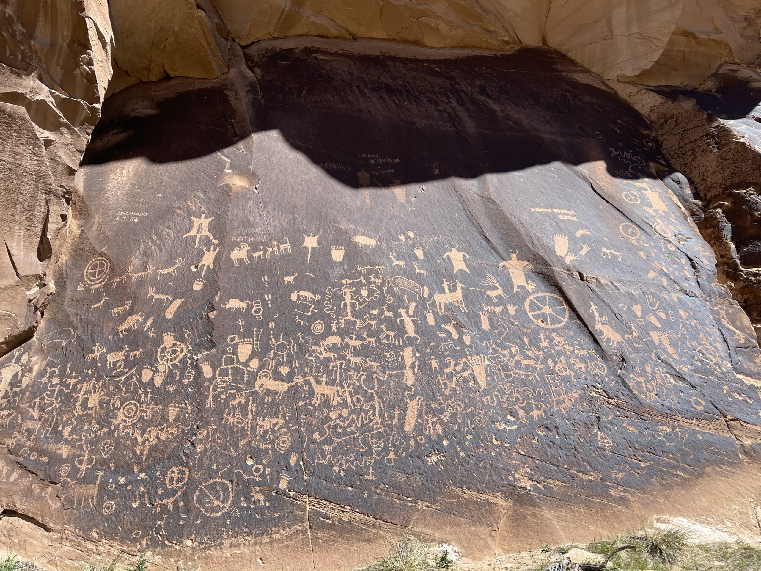
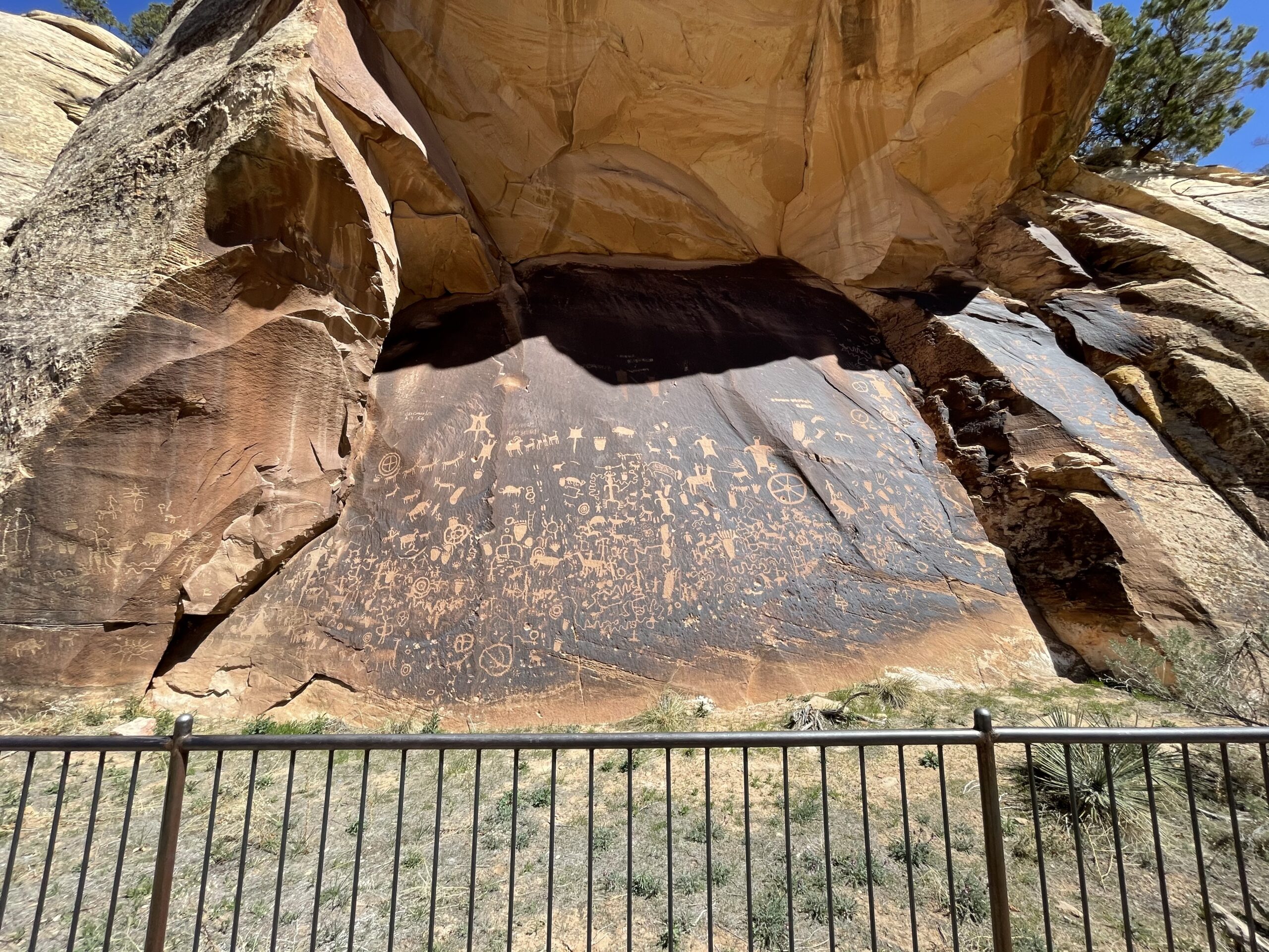
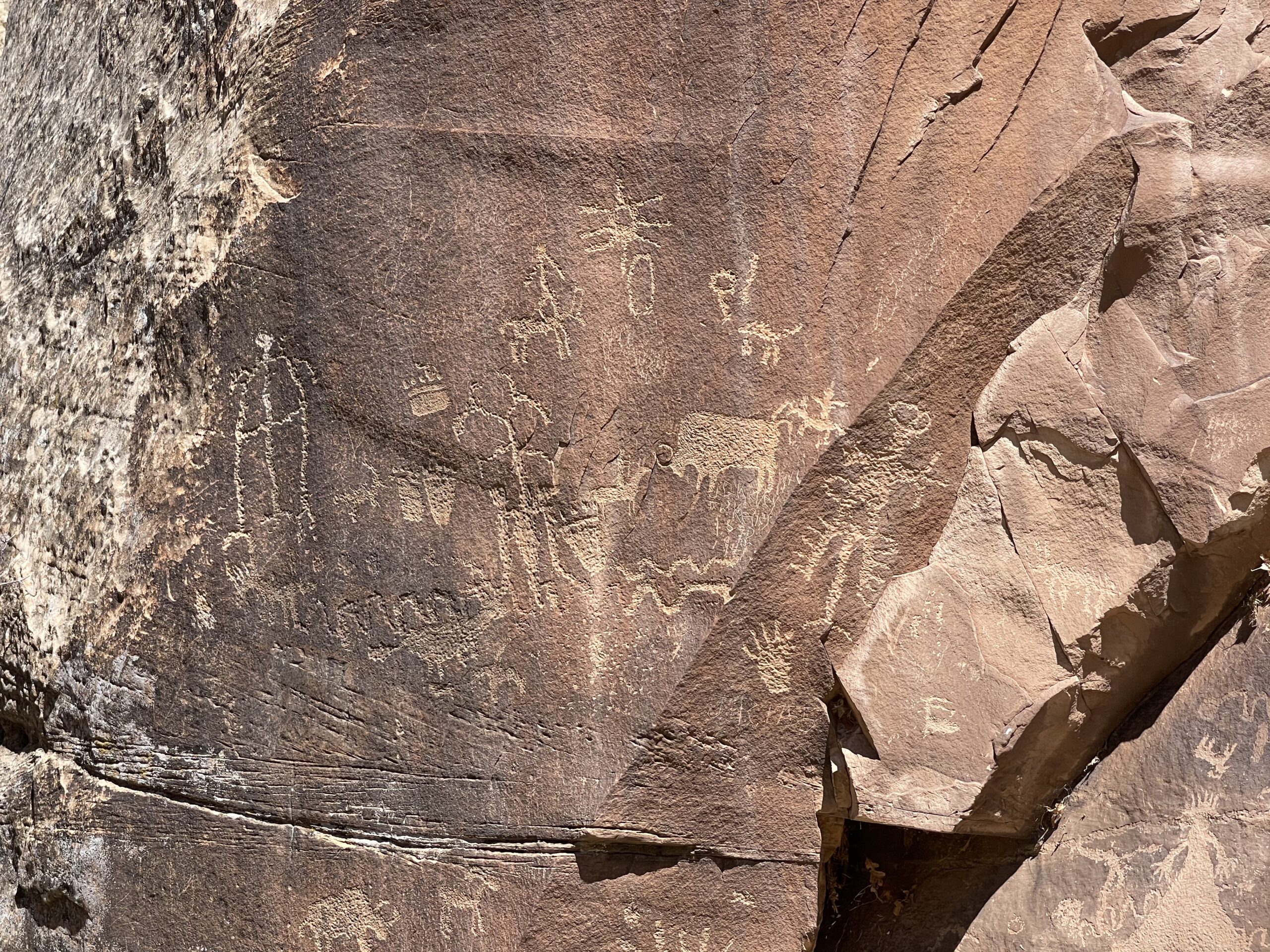
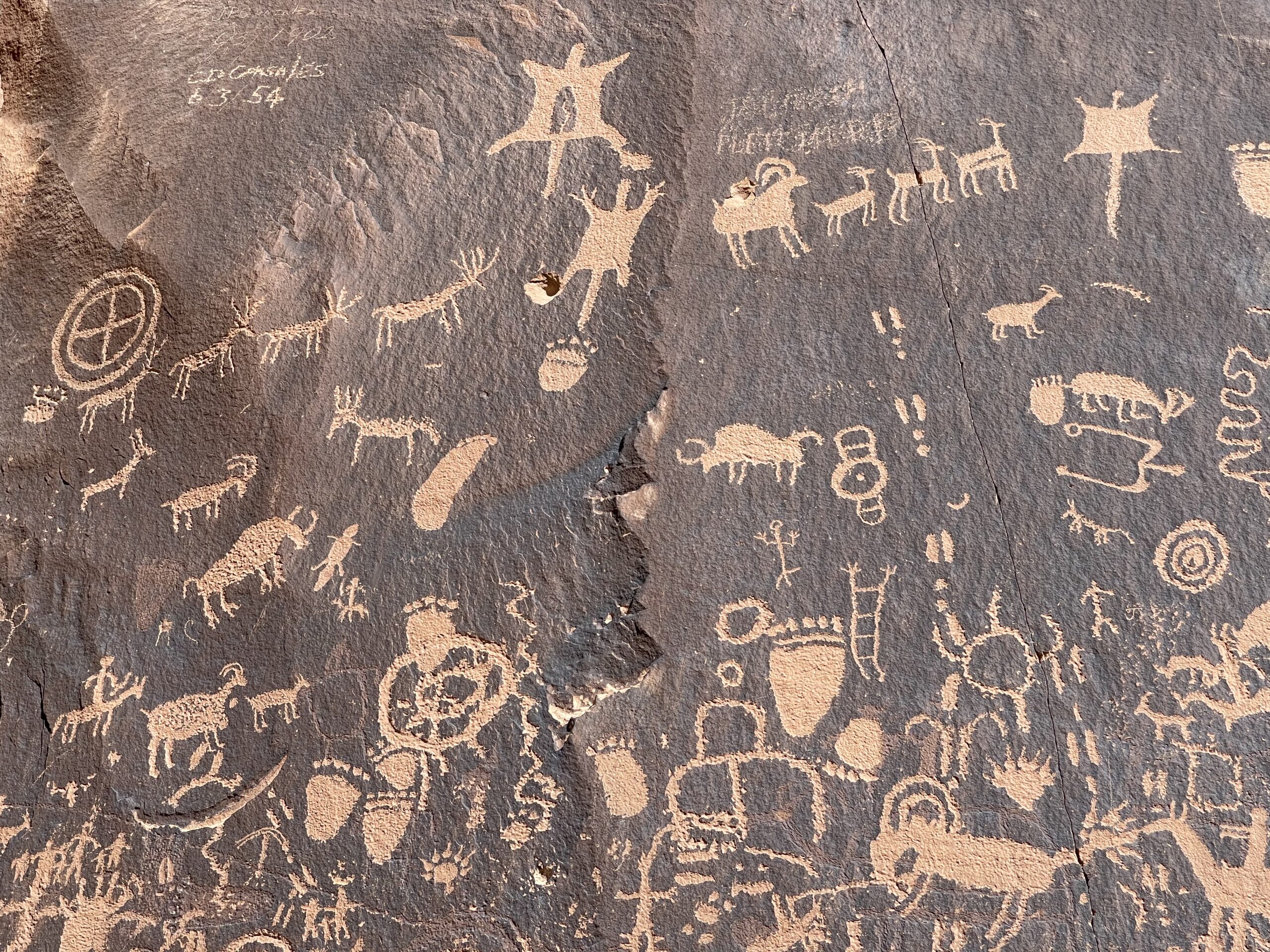
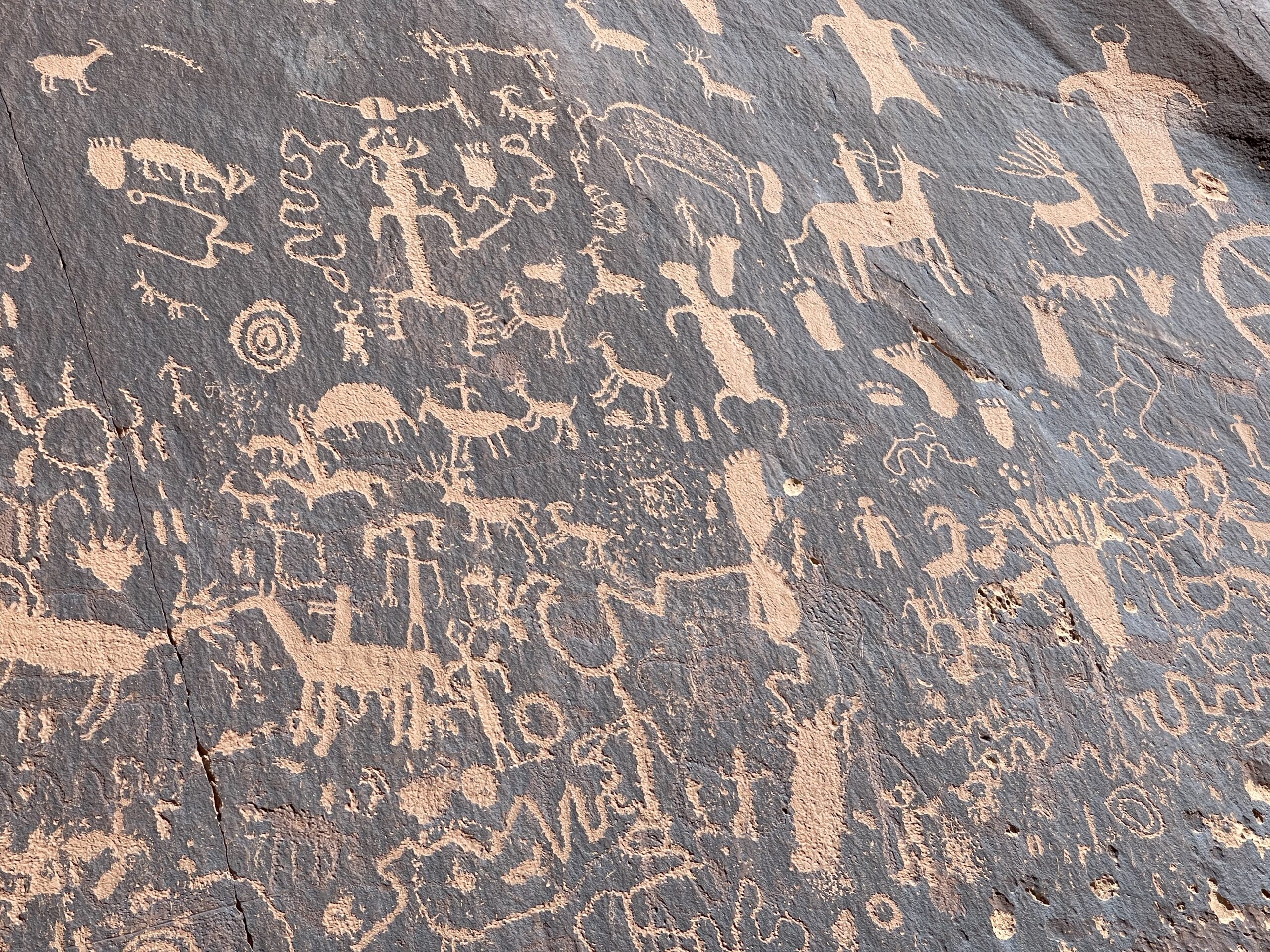
Last year, I traveled through Canyonlands National Park, and absolutely loved it. I had made a quick stop, and wanted to go back for more, so I navigated there. On the way, I stopped at Newspaper Rock, a huge tablet covered in ancient petroglyphs. Really astounding stuff.


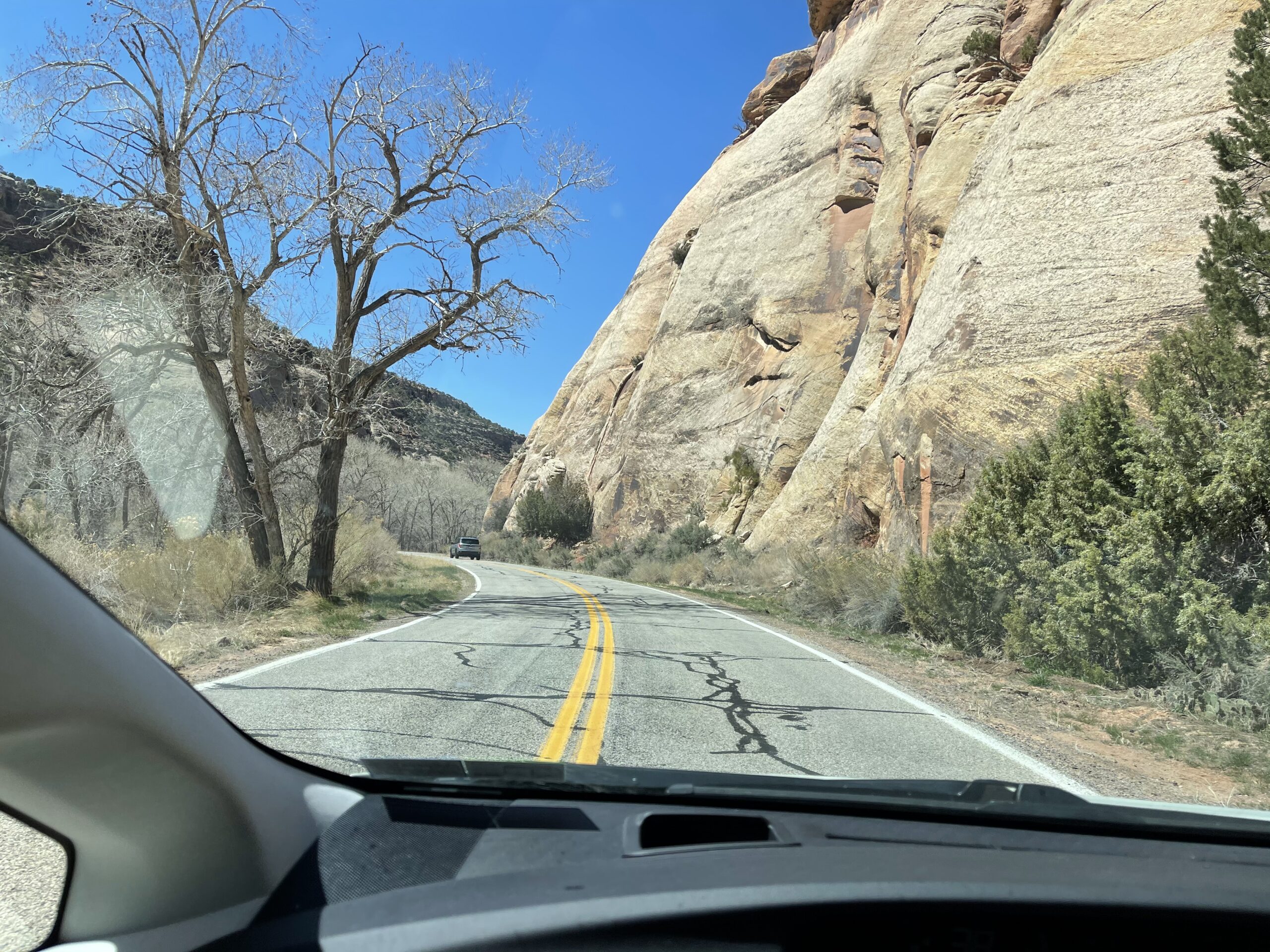
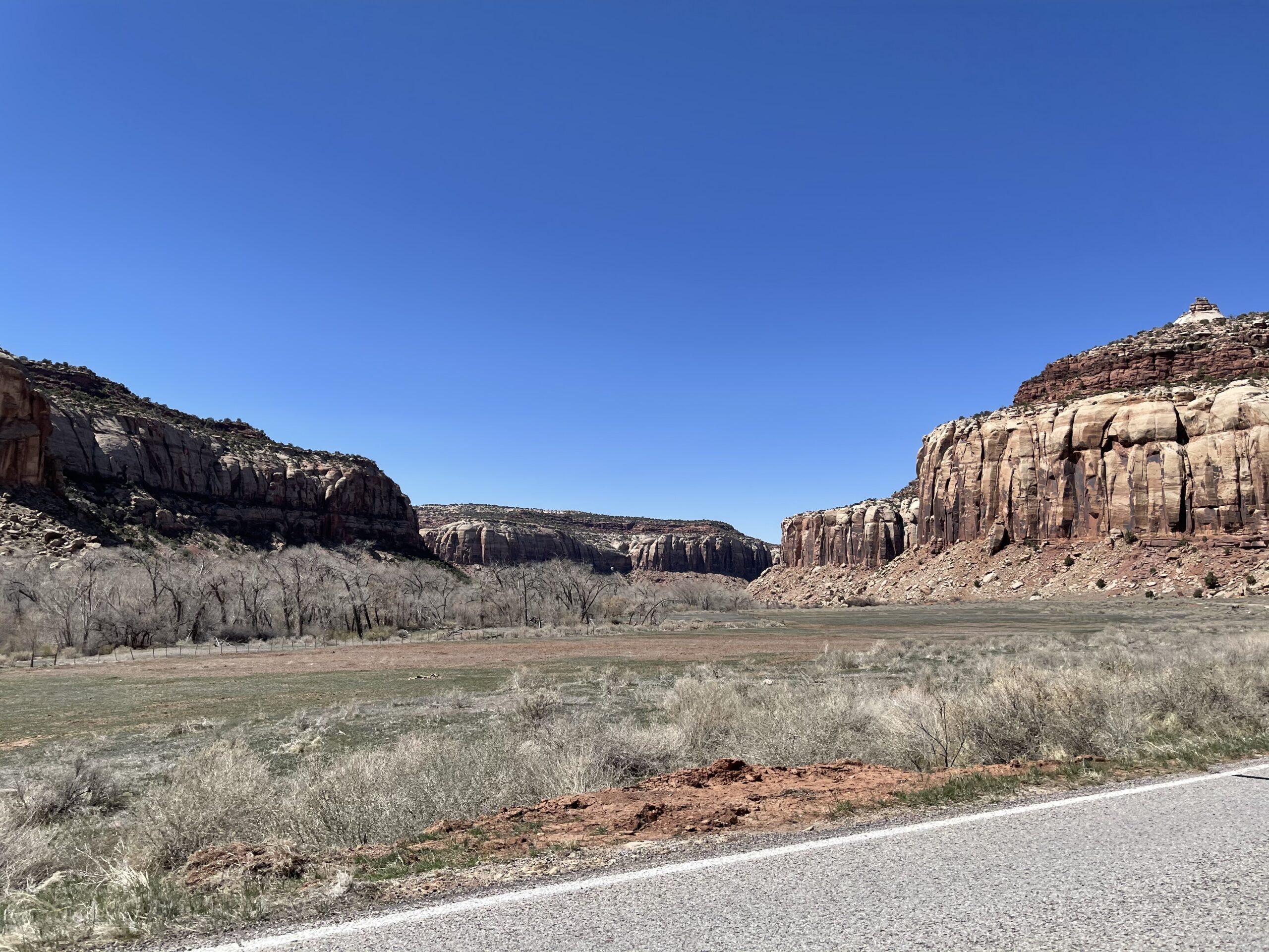
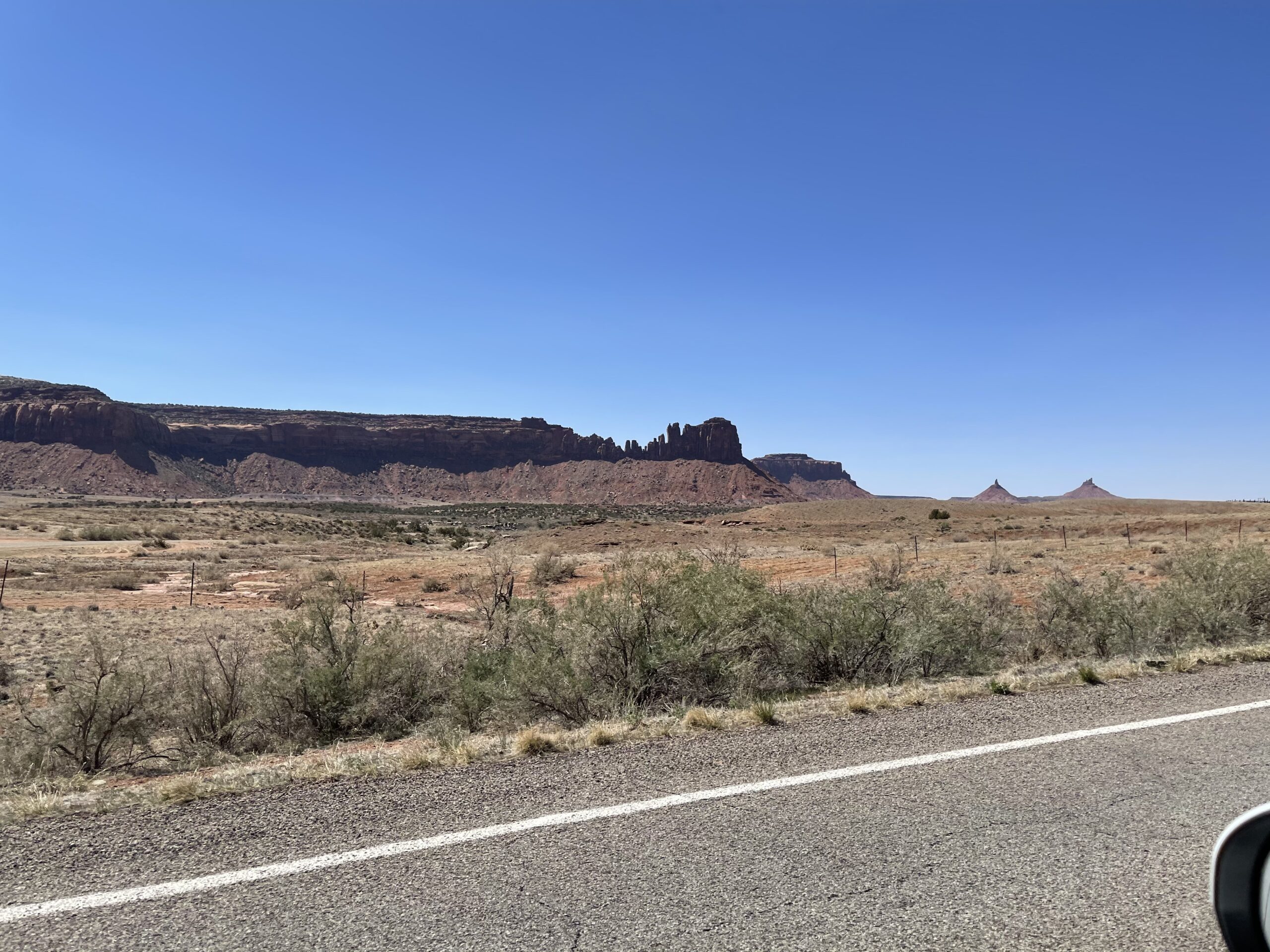
The drive in was great, and full of warm scenic views.


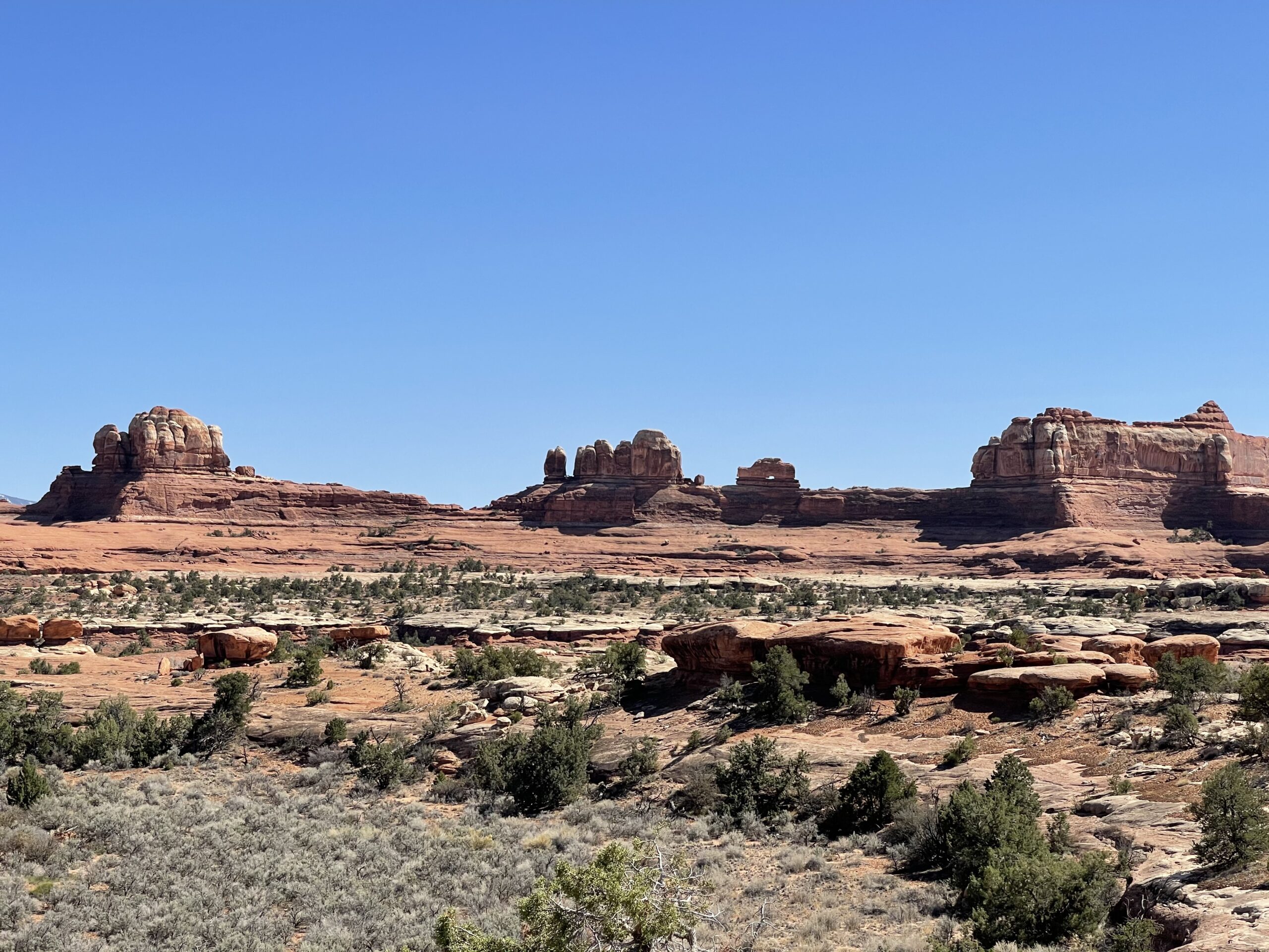
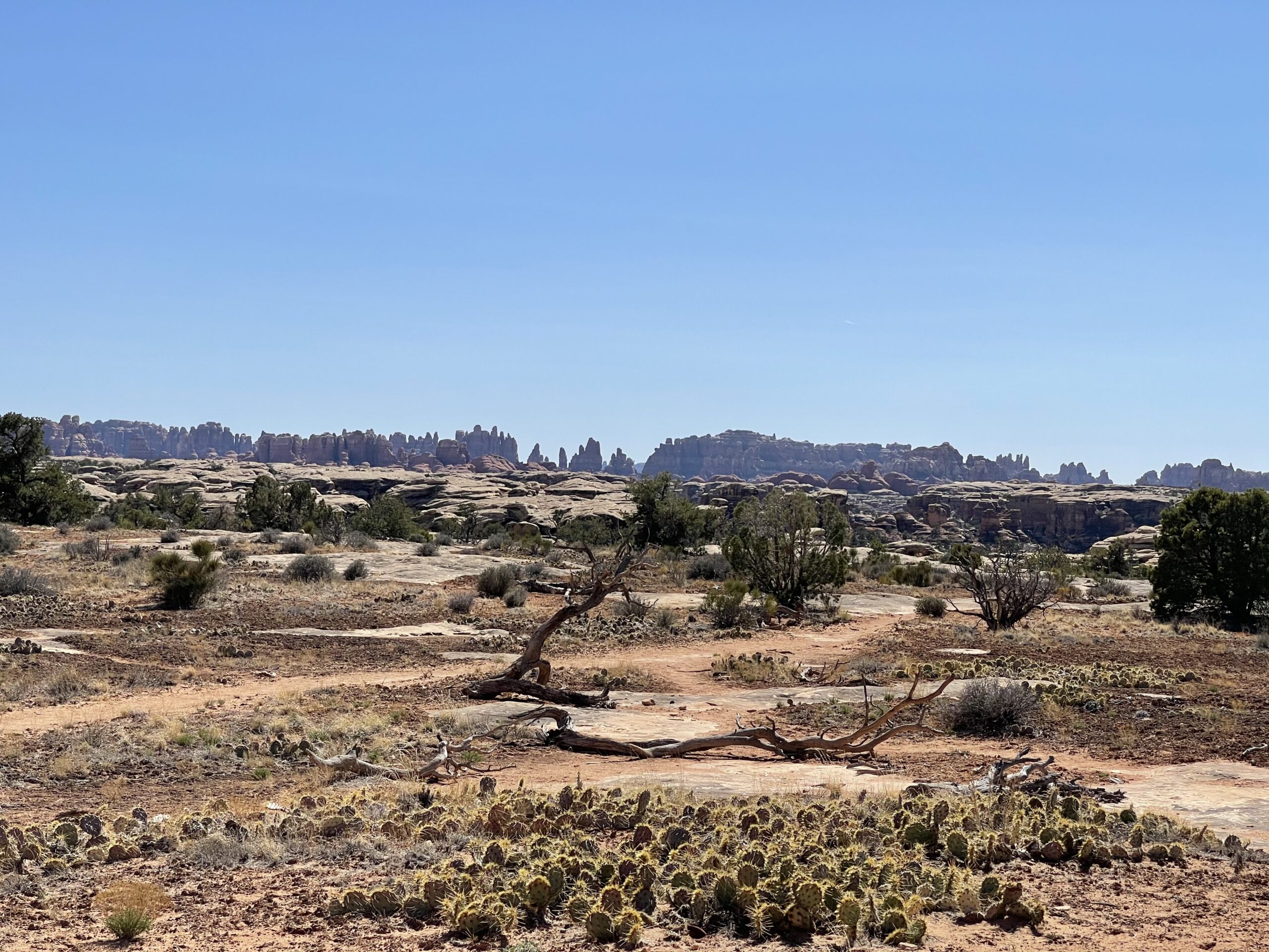
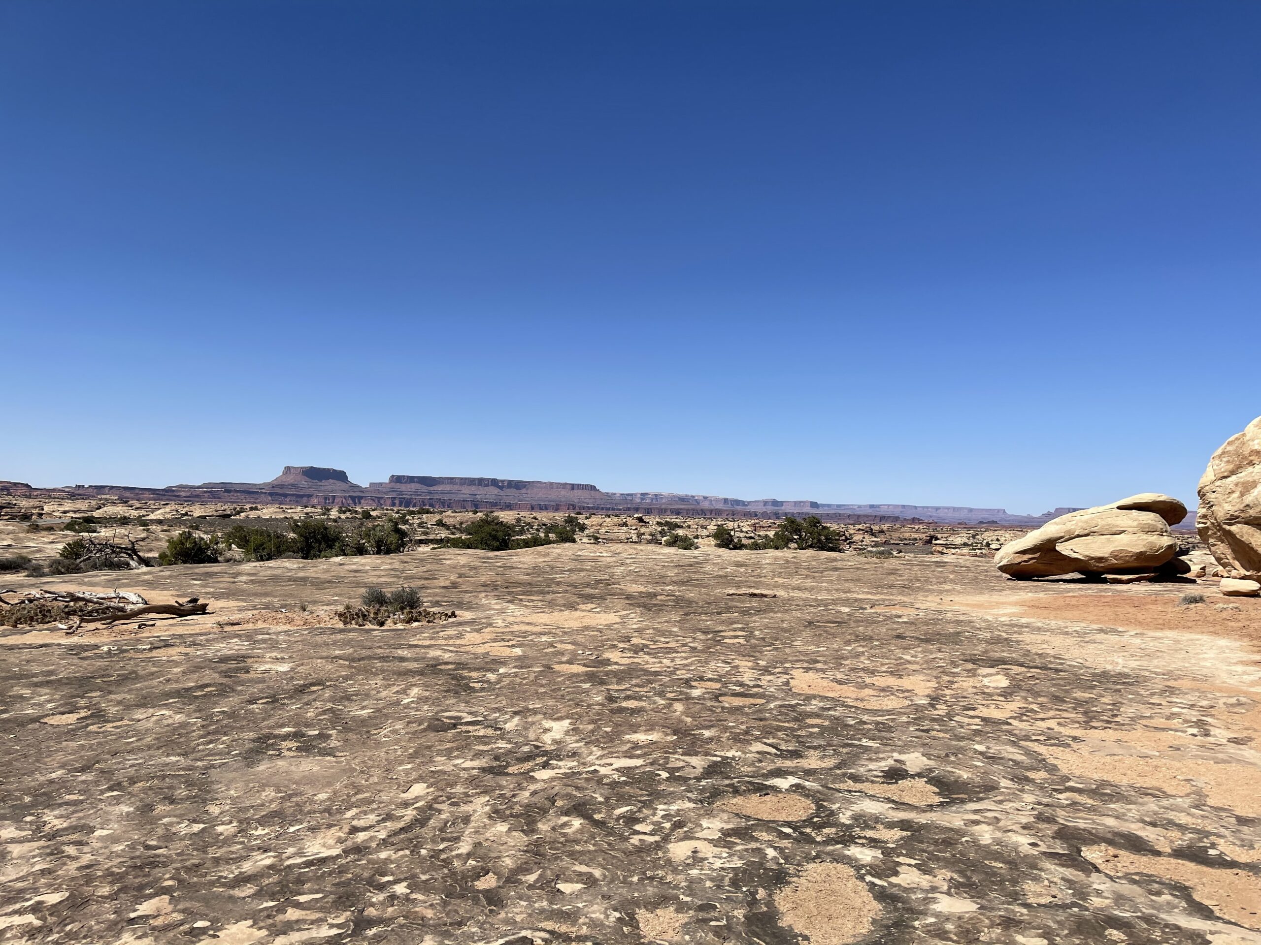
As I continued on and entered Canyonlands, I had the pleasure of learning that there are actually three sections of the park, and I had entered one I had not previously been to, that did not directly connect with Moab. So, I was boned on my plans regarding timing, but also got to explore a new part of the park, beginning with the Needles Visitor’s Center.
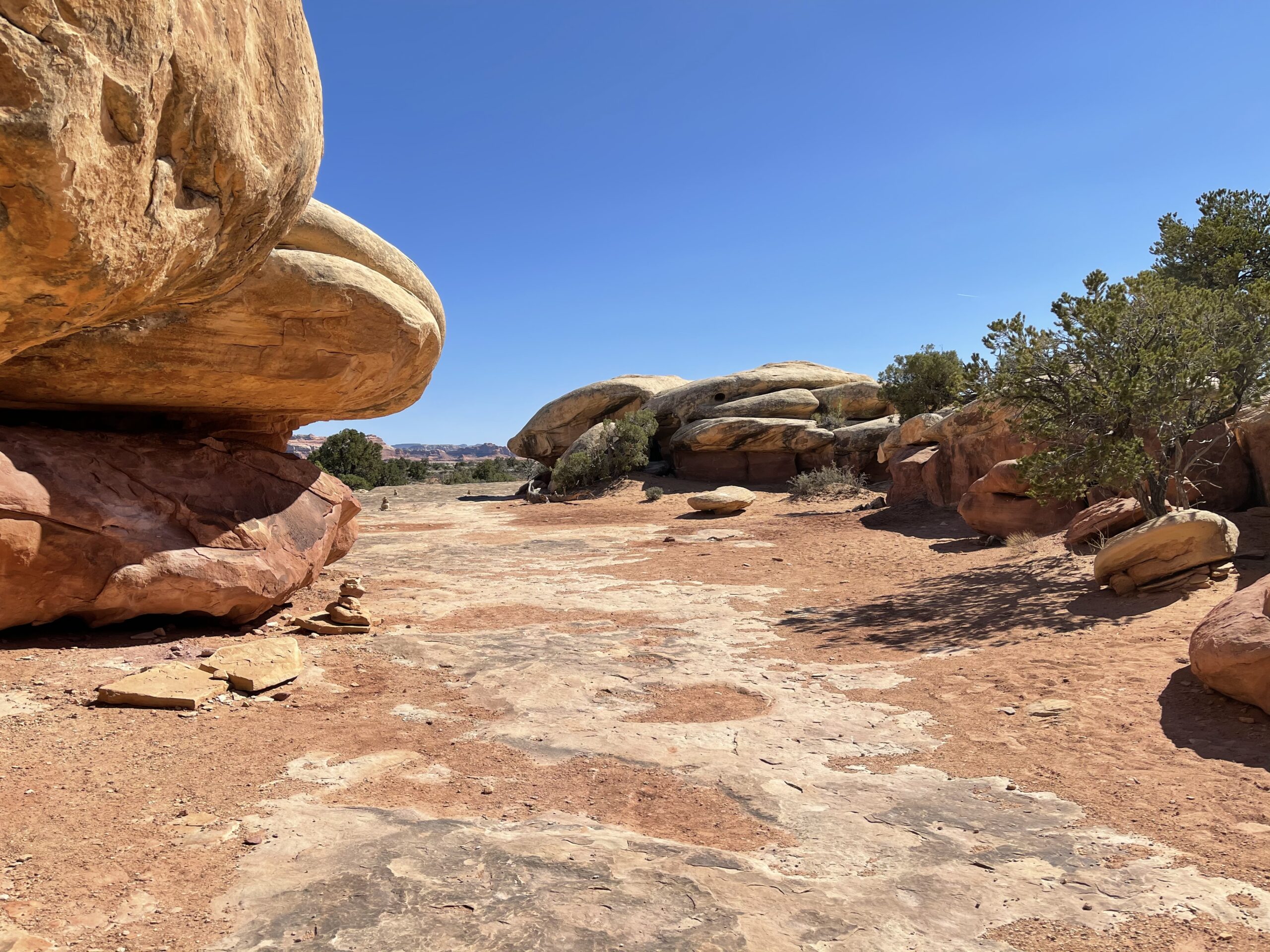
Driving down the scenic area, there was a cute arch you could see called Wooden Shoe Arch.
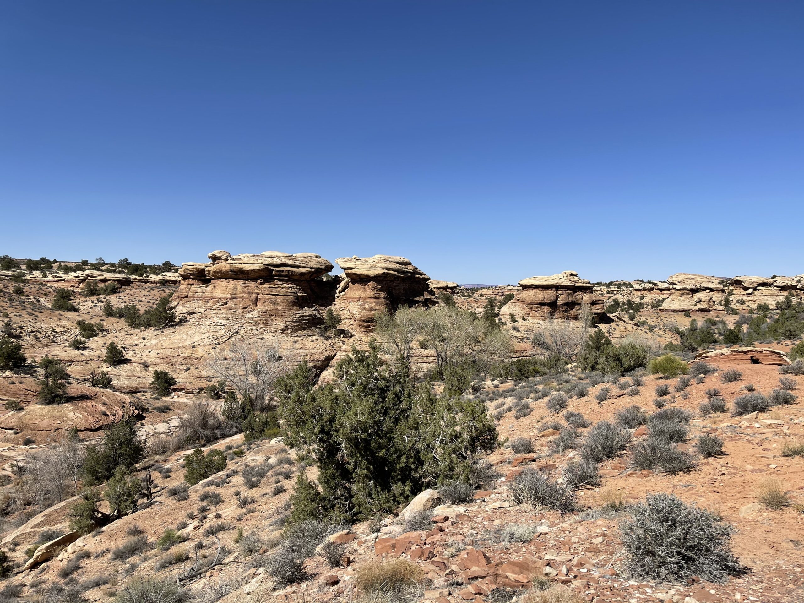
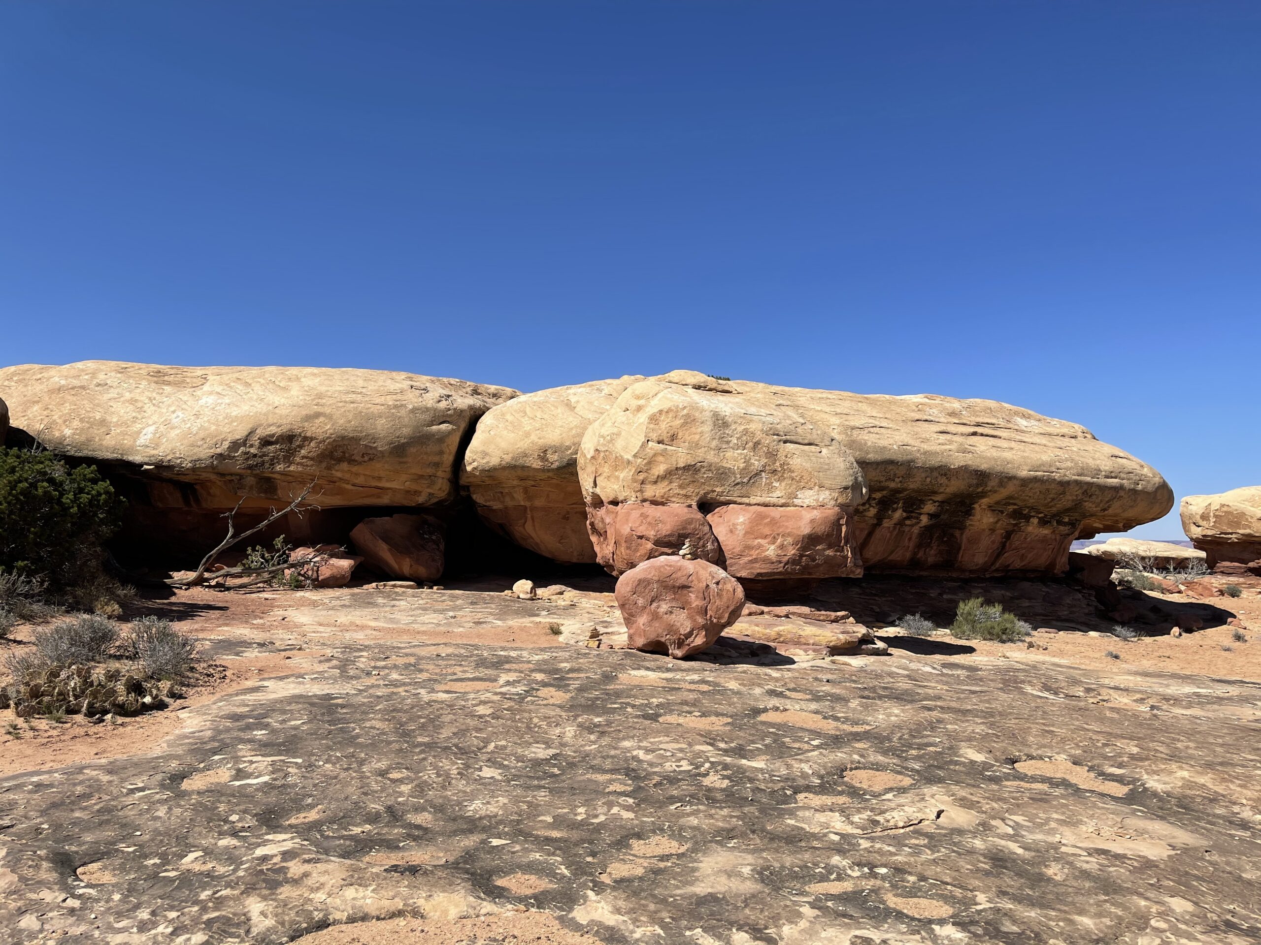
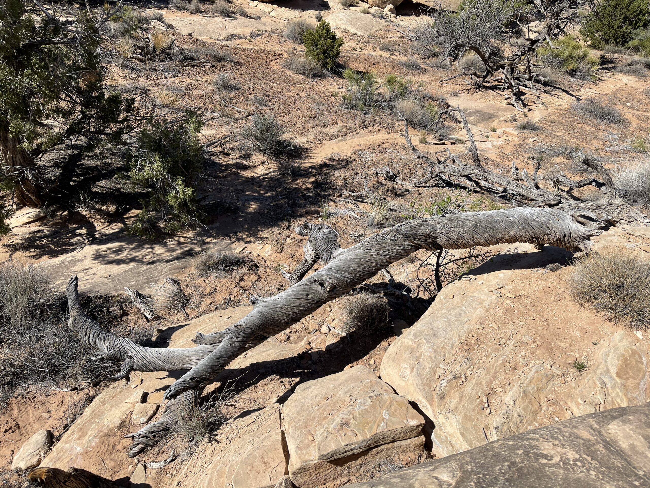
I decided to do a few of the hikes at the area, including Pothole point, a rocky area named for its tendency for the rock indentations to collect water and microbial life. When I visited, the area was super dry, which was both good and bad.

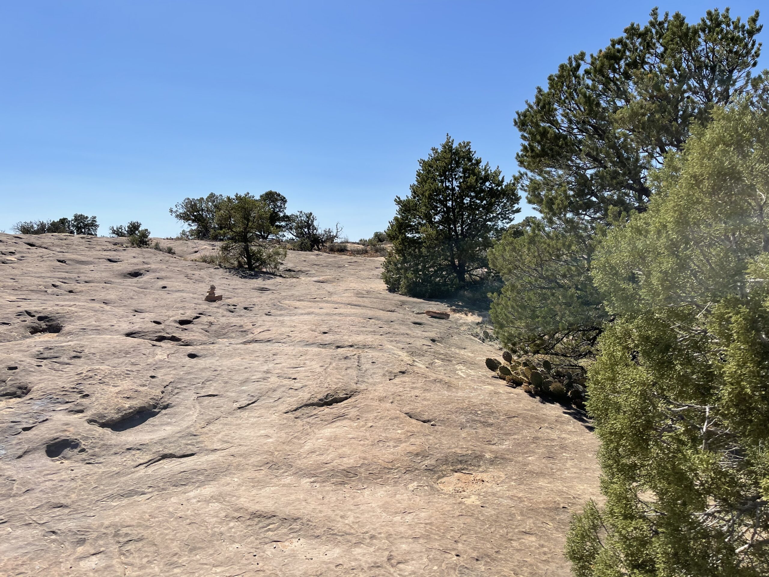

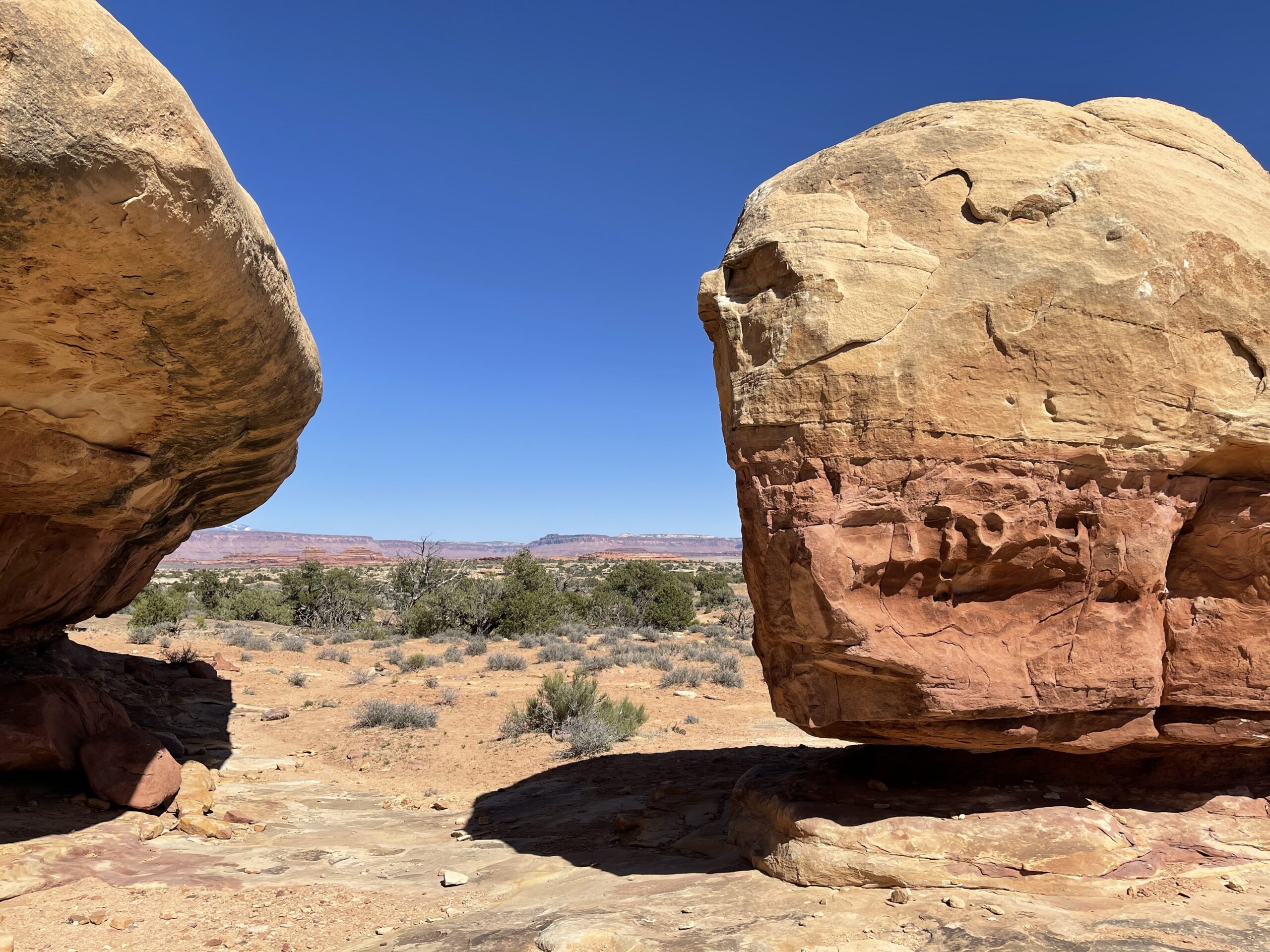

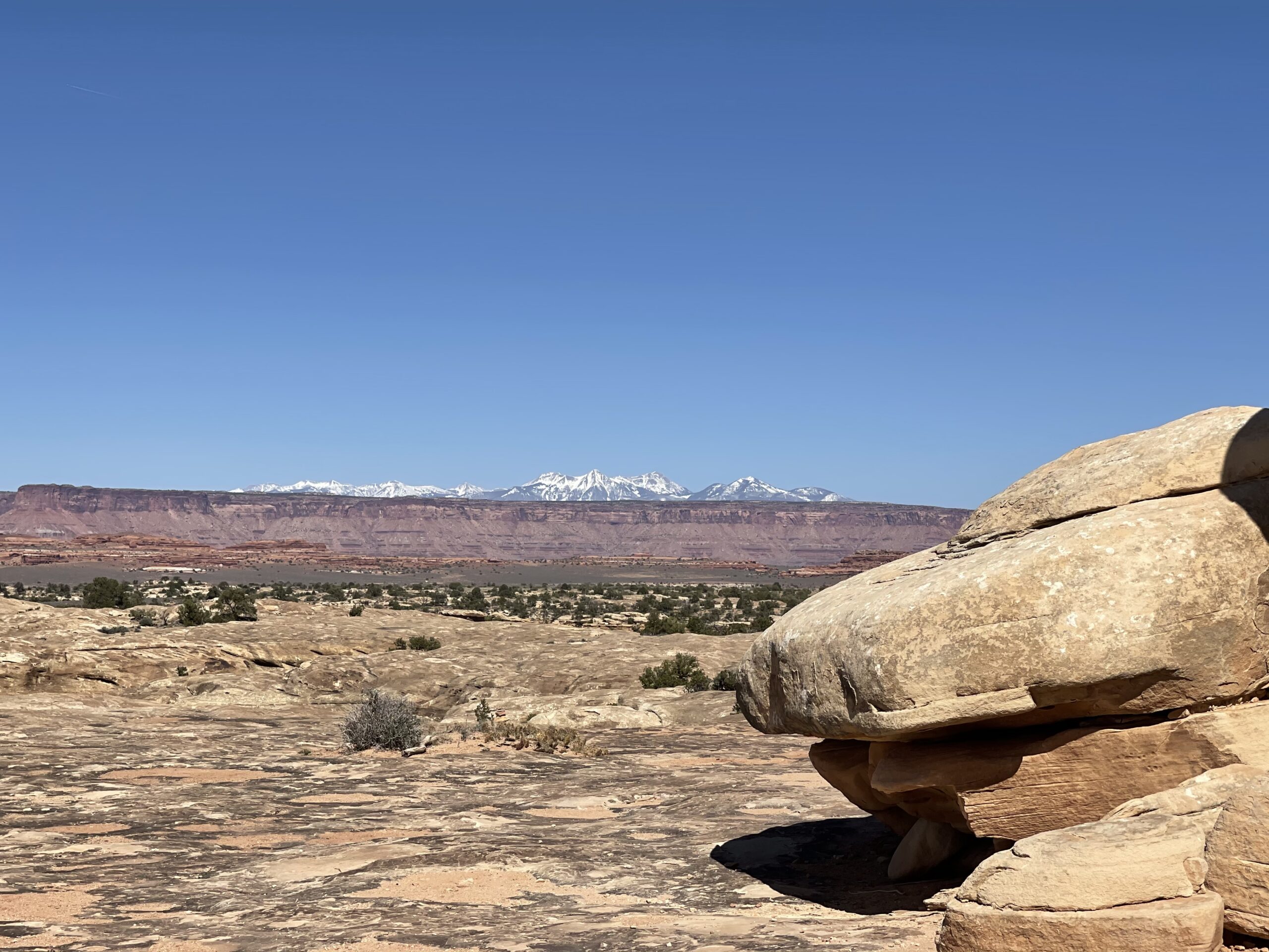
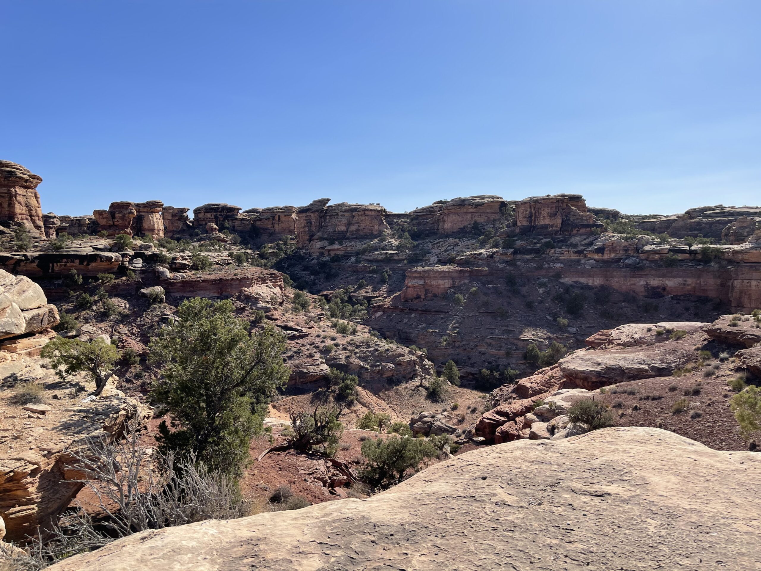
I also ventured out on the Slickrock trail to stretch my legs and treat myself to some canyon views. It was wonderful to walk along it as the sun began to set, and look forward to devouring some food.
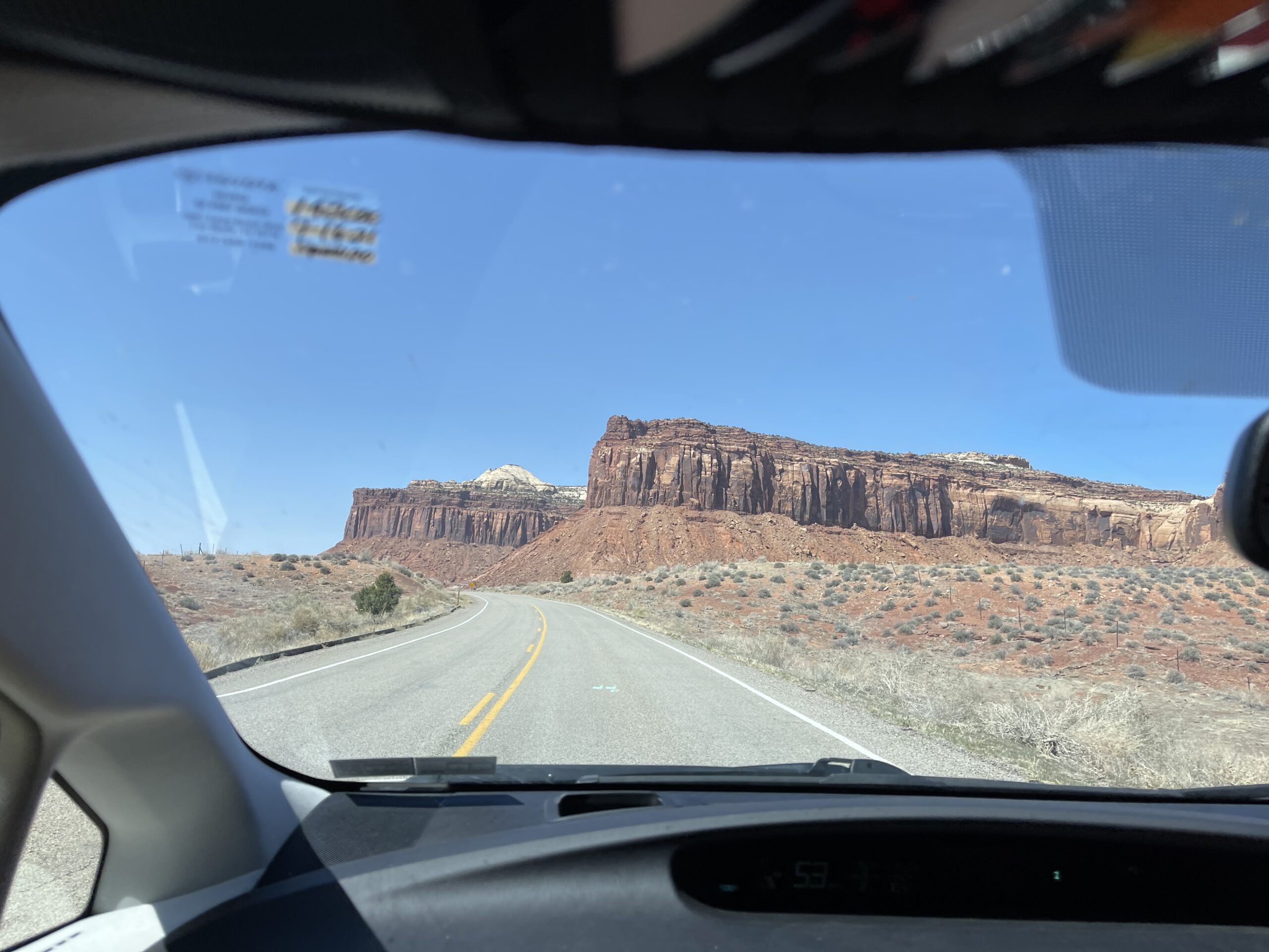


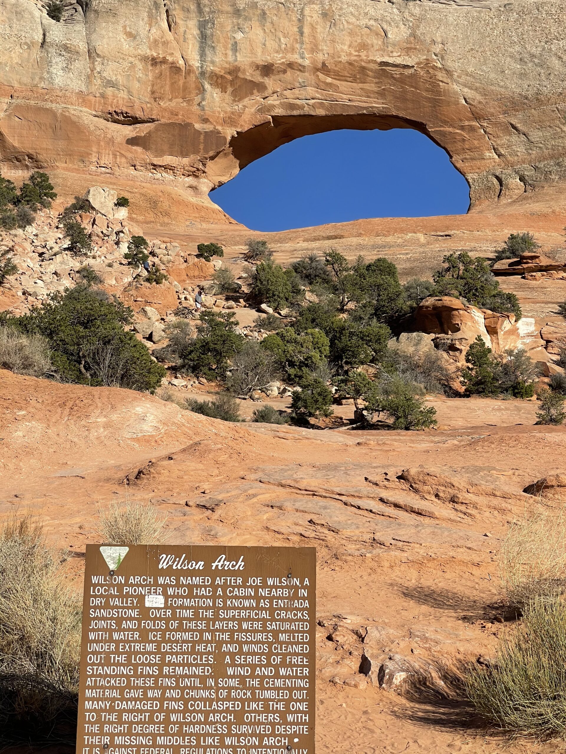
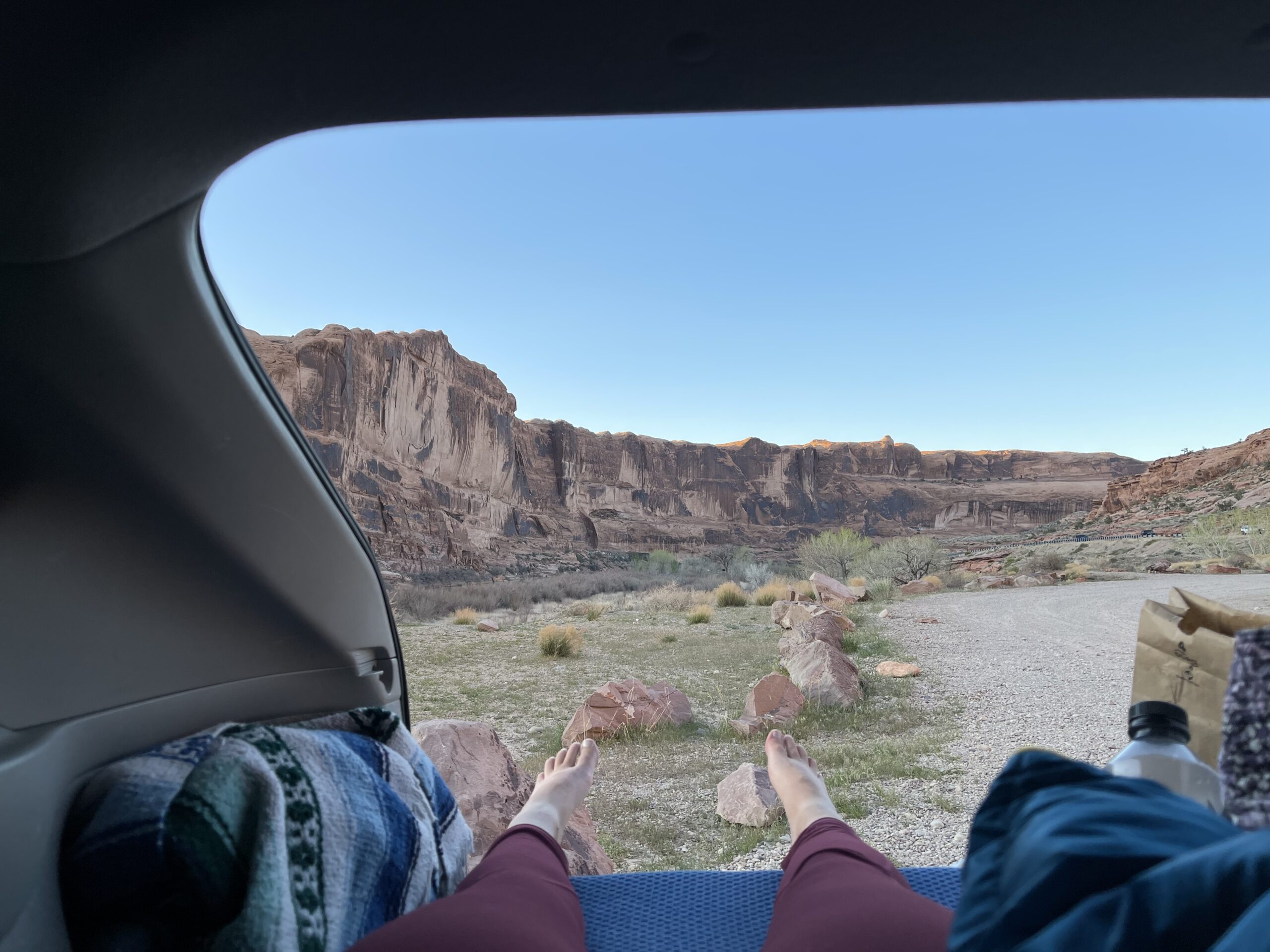
Spur of the moment, I made the call to go to Moab, a town that is steeped in natural beauty and has a special place in my heart. I’m hoping to stop there for a long while later in my trip, but also decided to make a quick hop up, because, why not. So I made the hour drive up, stopping by Wilson Arch on the way.


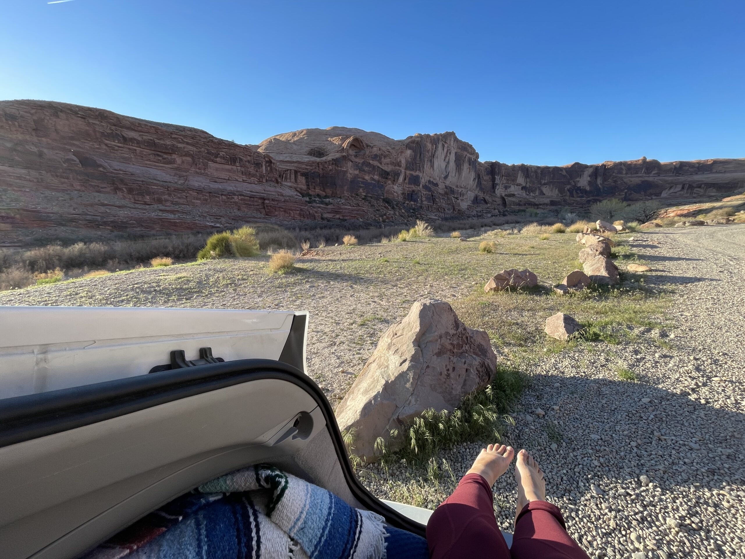
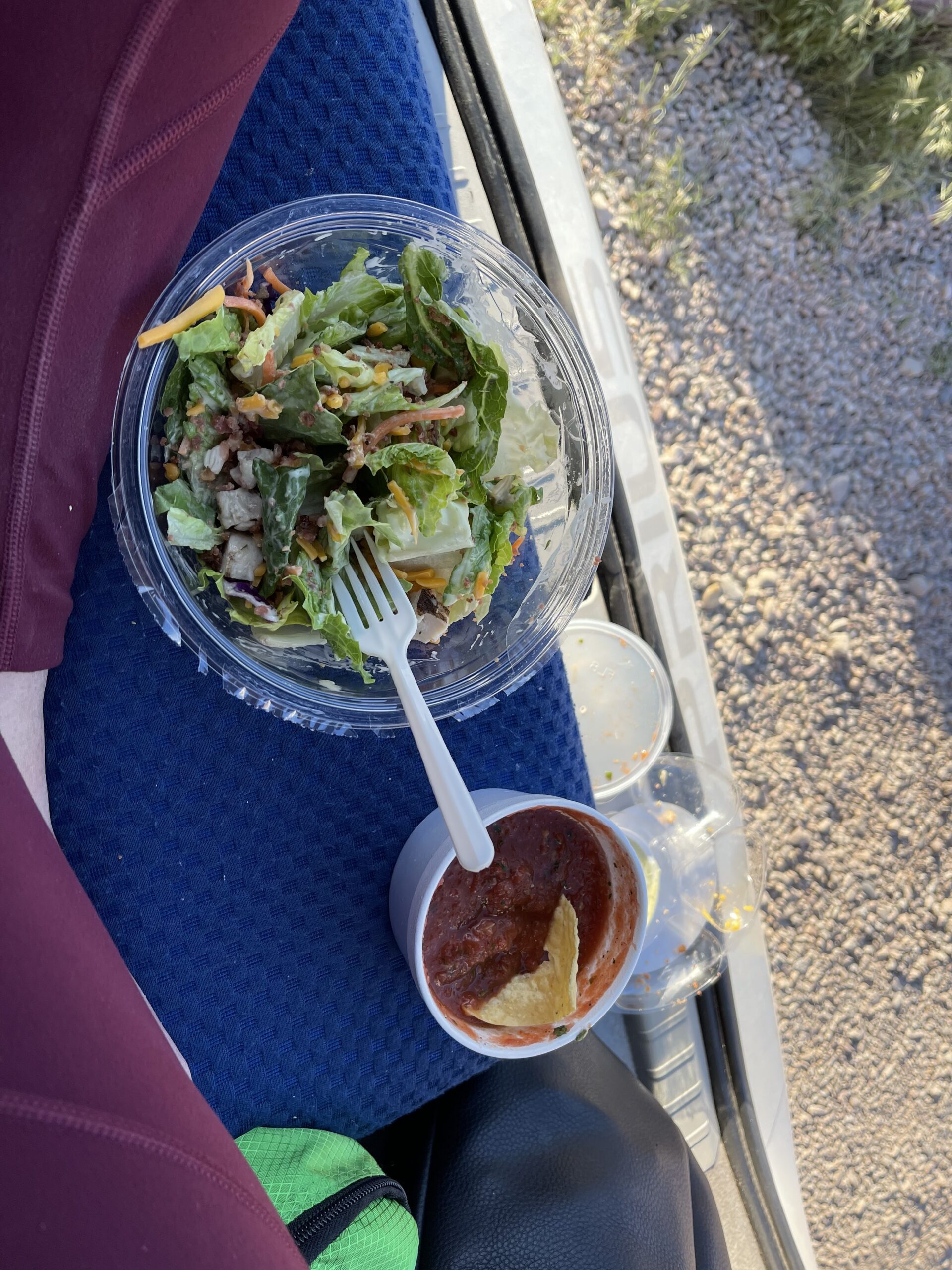
I grabbed some chips and salsa at El Charro Loco, and parked at Hal Canyon to kill it alongside a salad I had picked up earlier in the day.


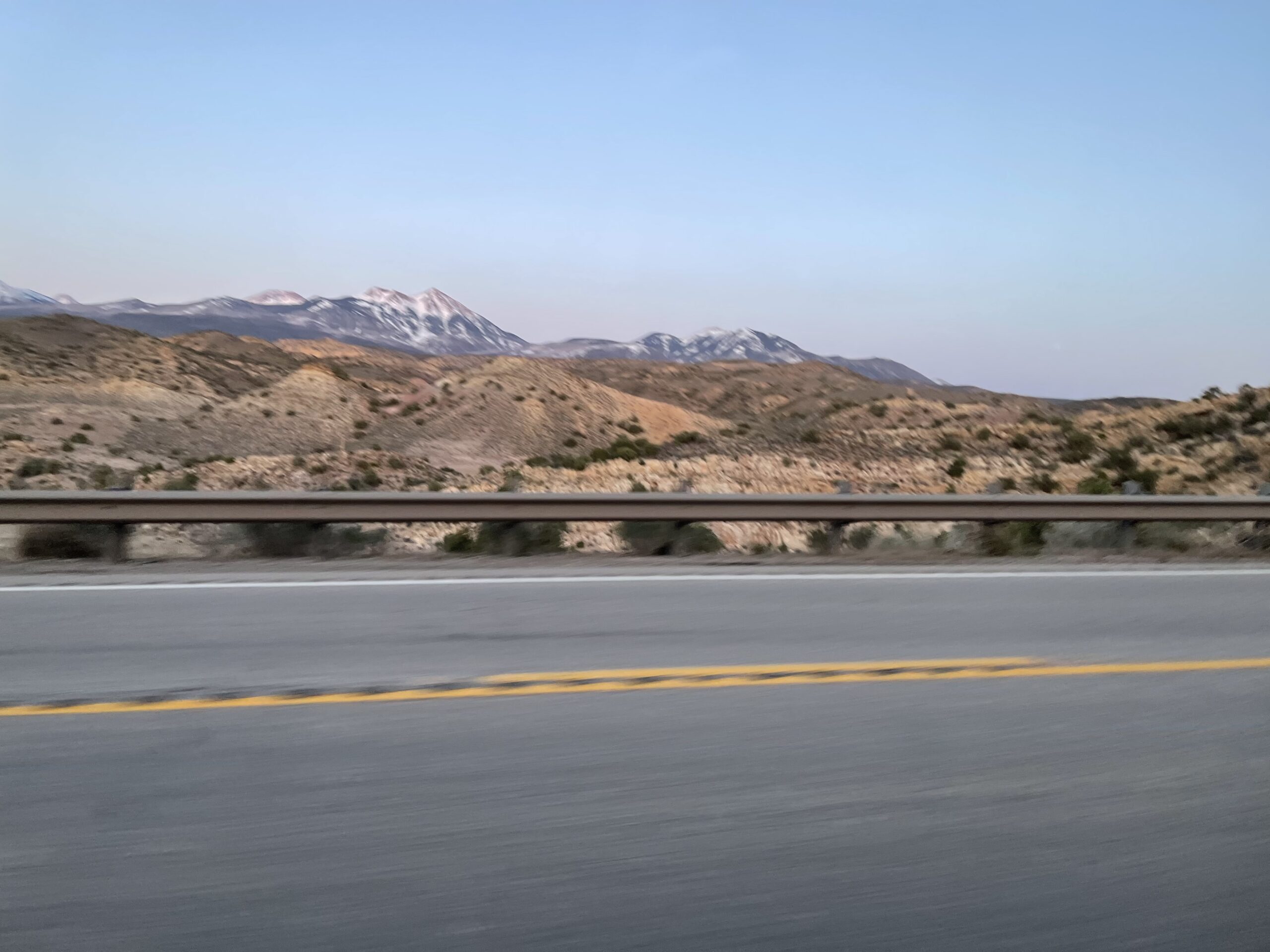
That night, I made my way down to Monticello again, where I spent the night under its snow-capped mountains.


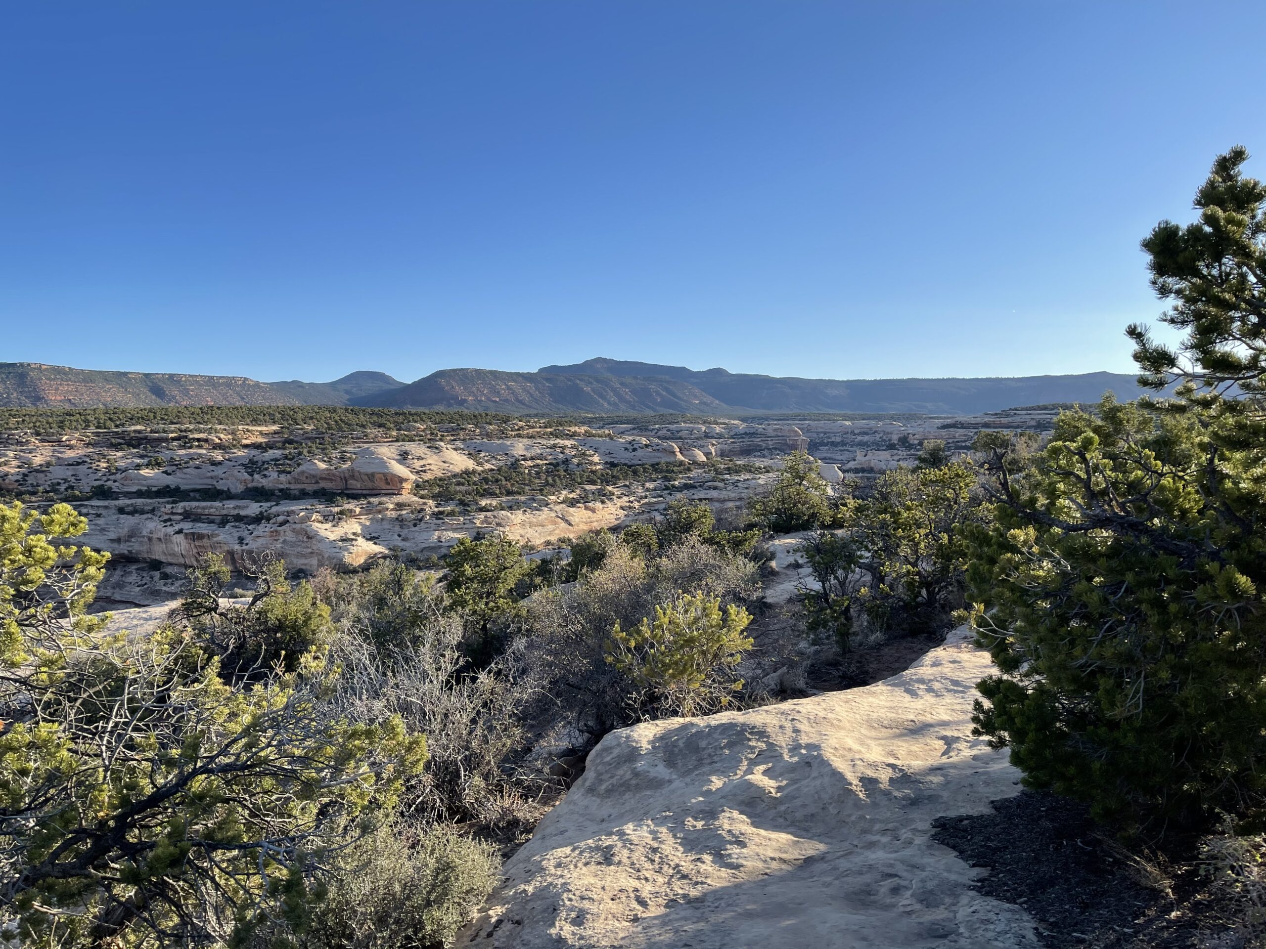
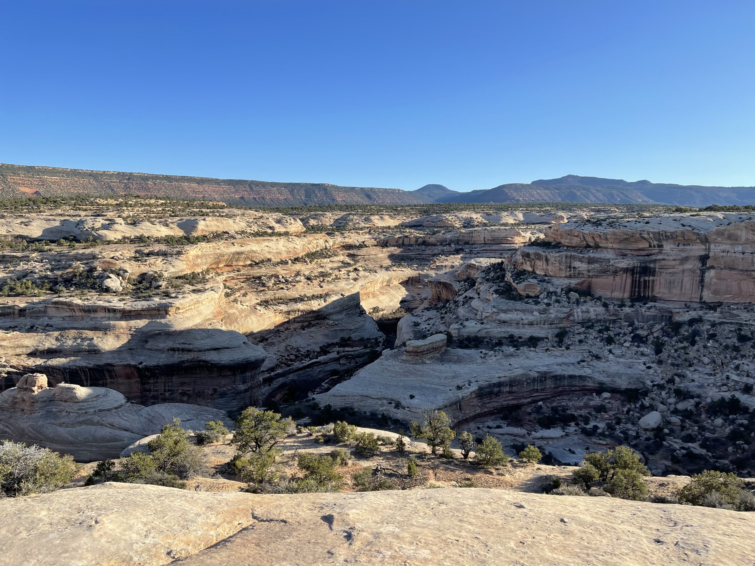
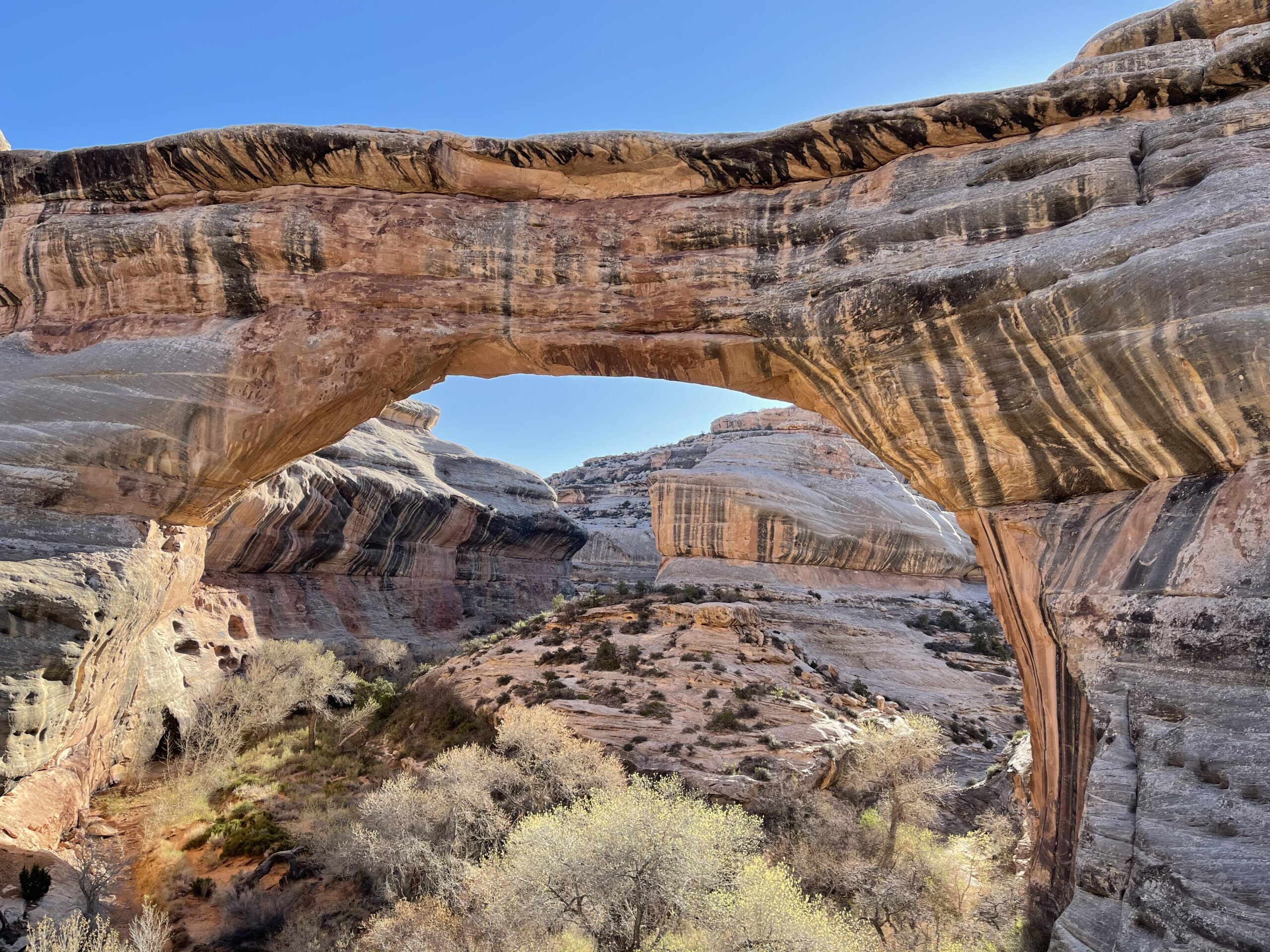
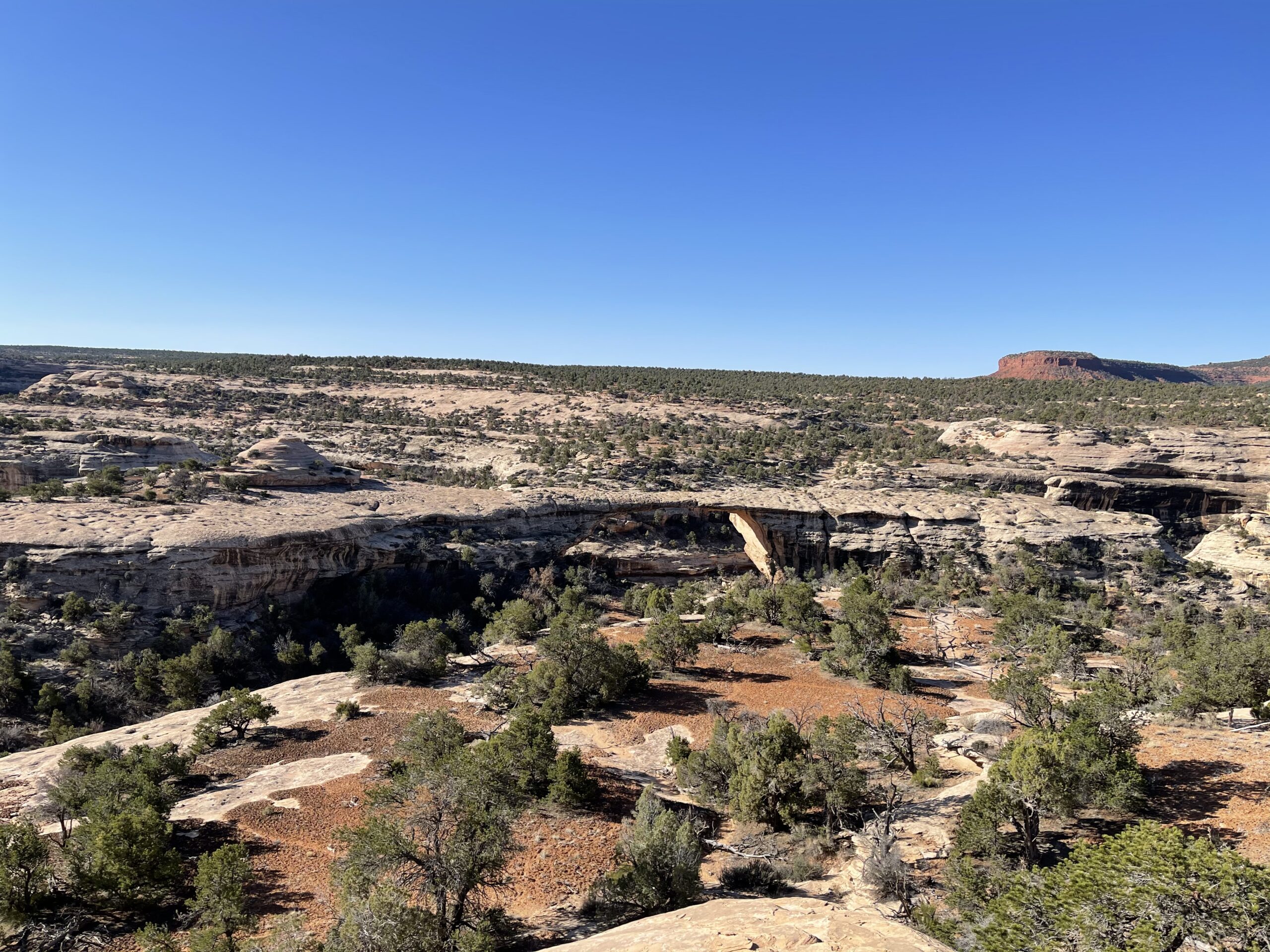
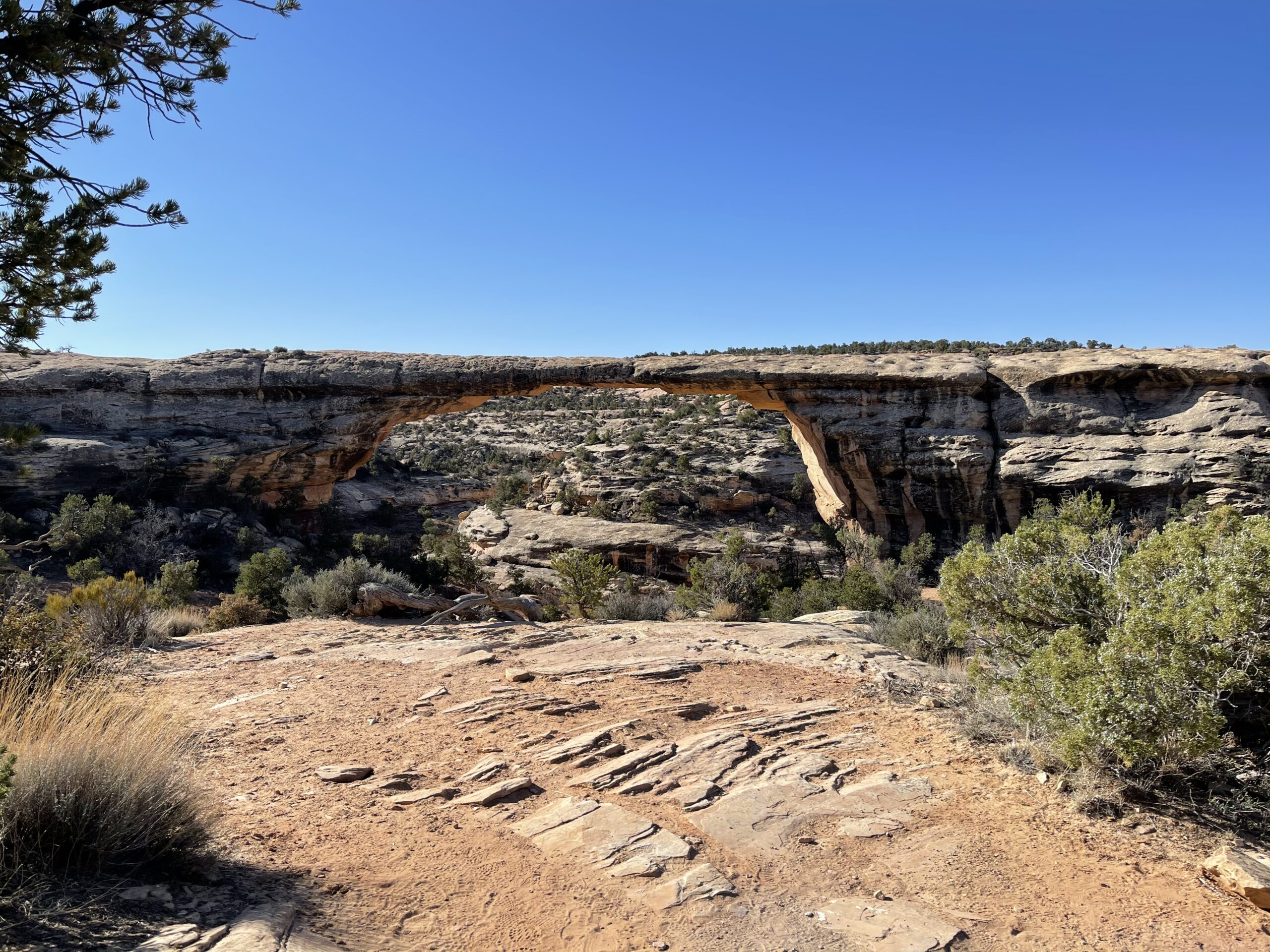
I woke up the following morning before the sunrise, and continued travelling south until I arrived at Natural Bridges National Monument, a small park that has three major land bridges in various stages of development and decay.
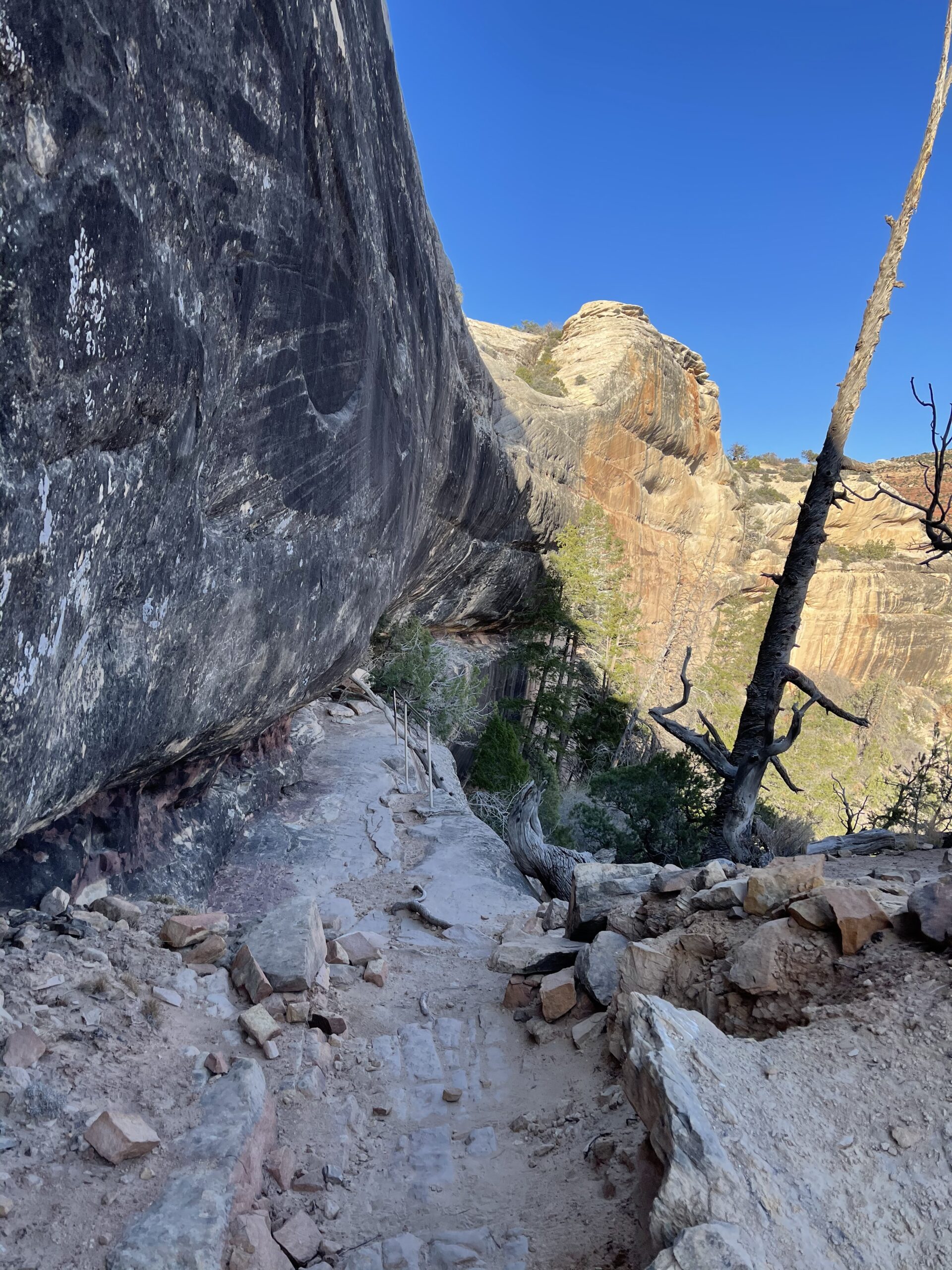
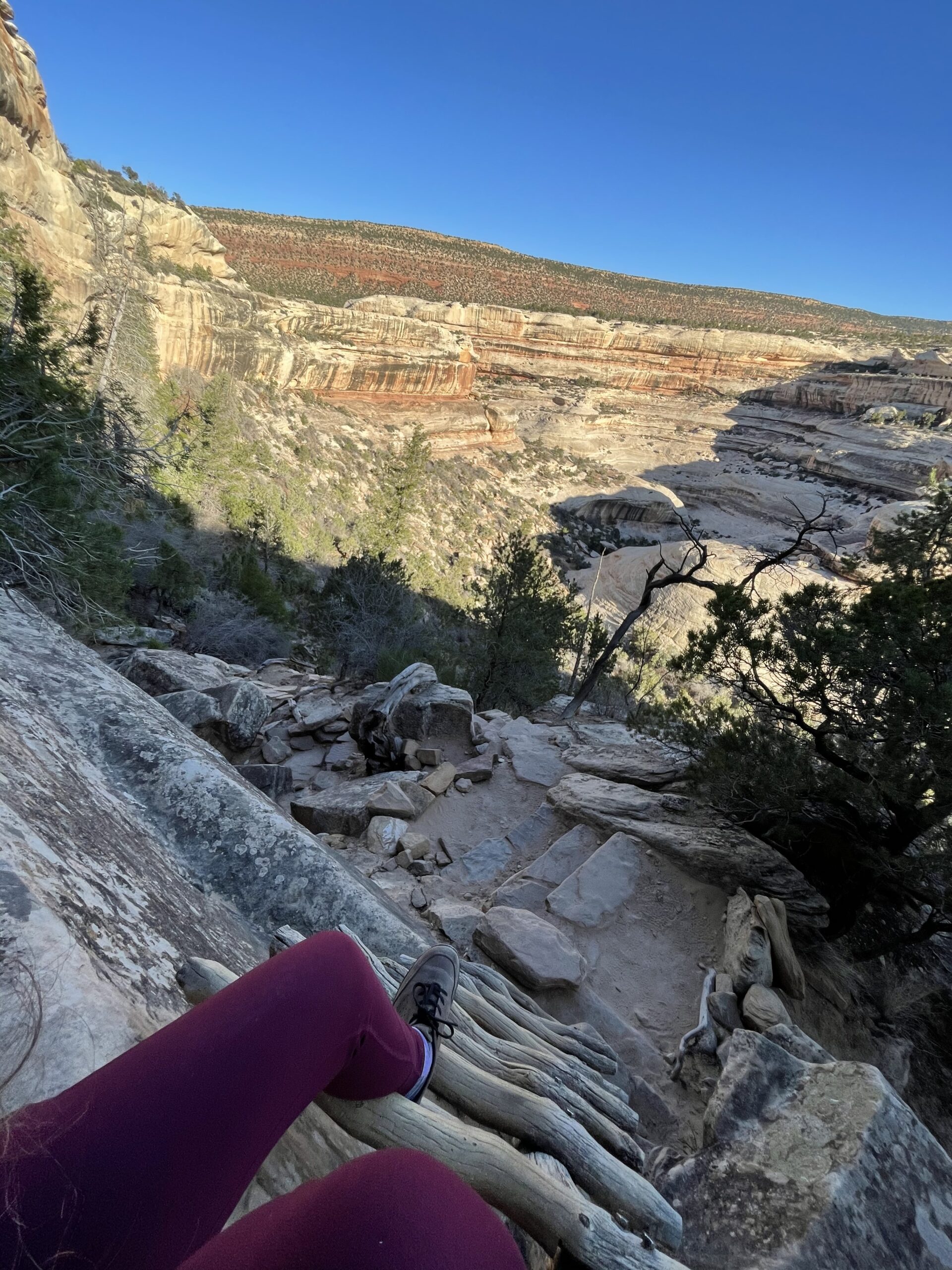
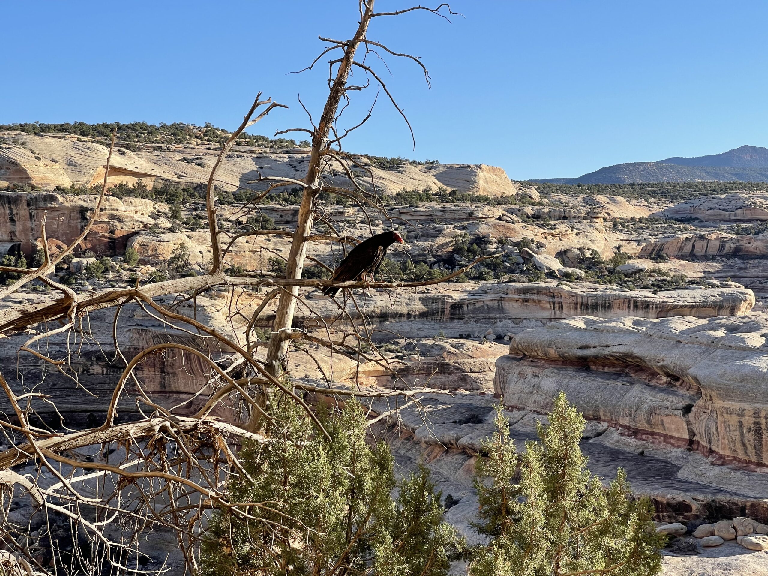
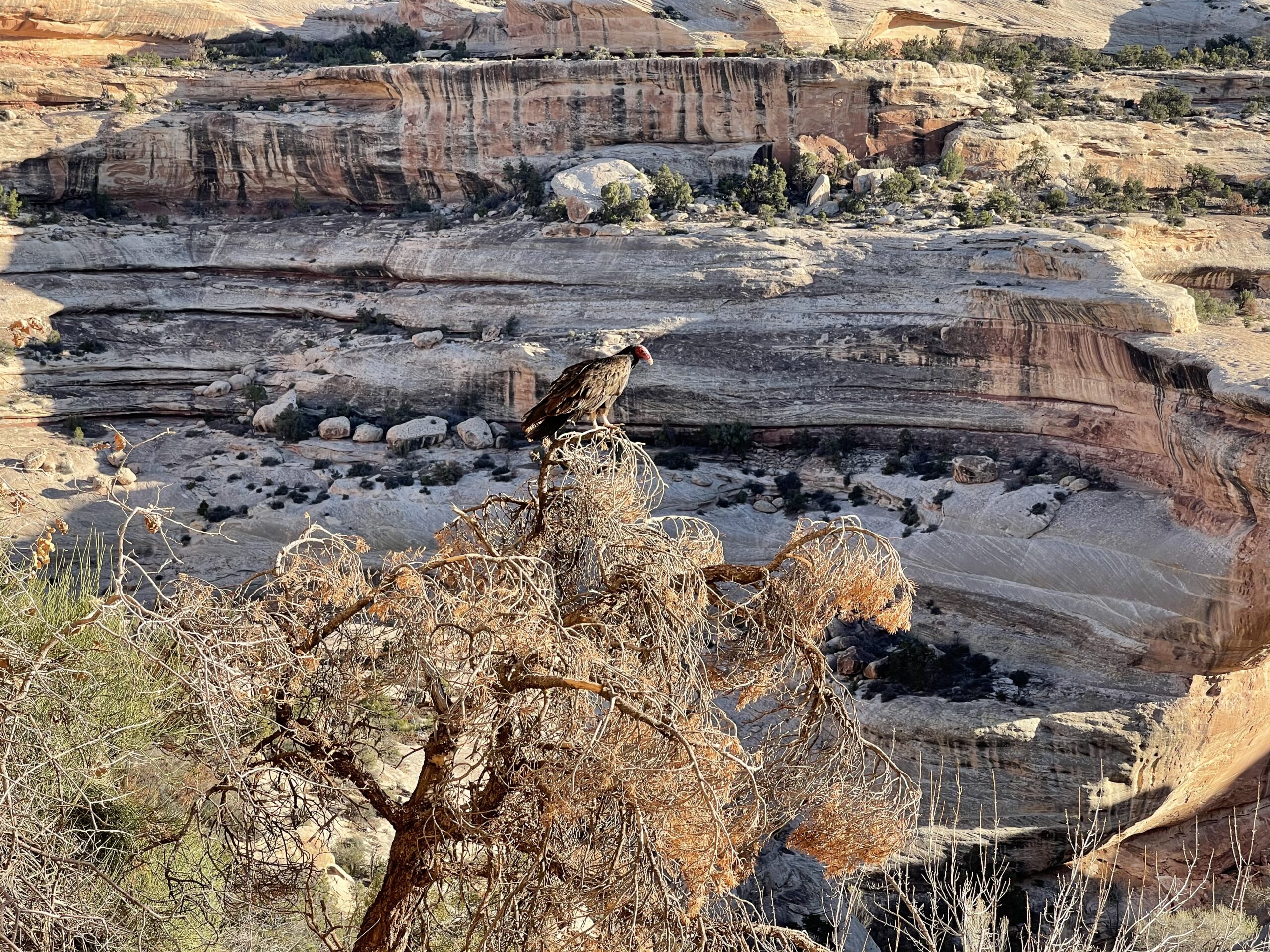
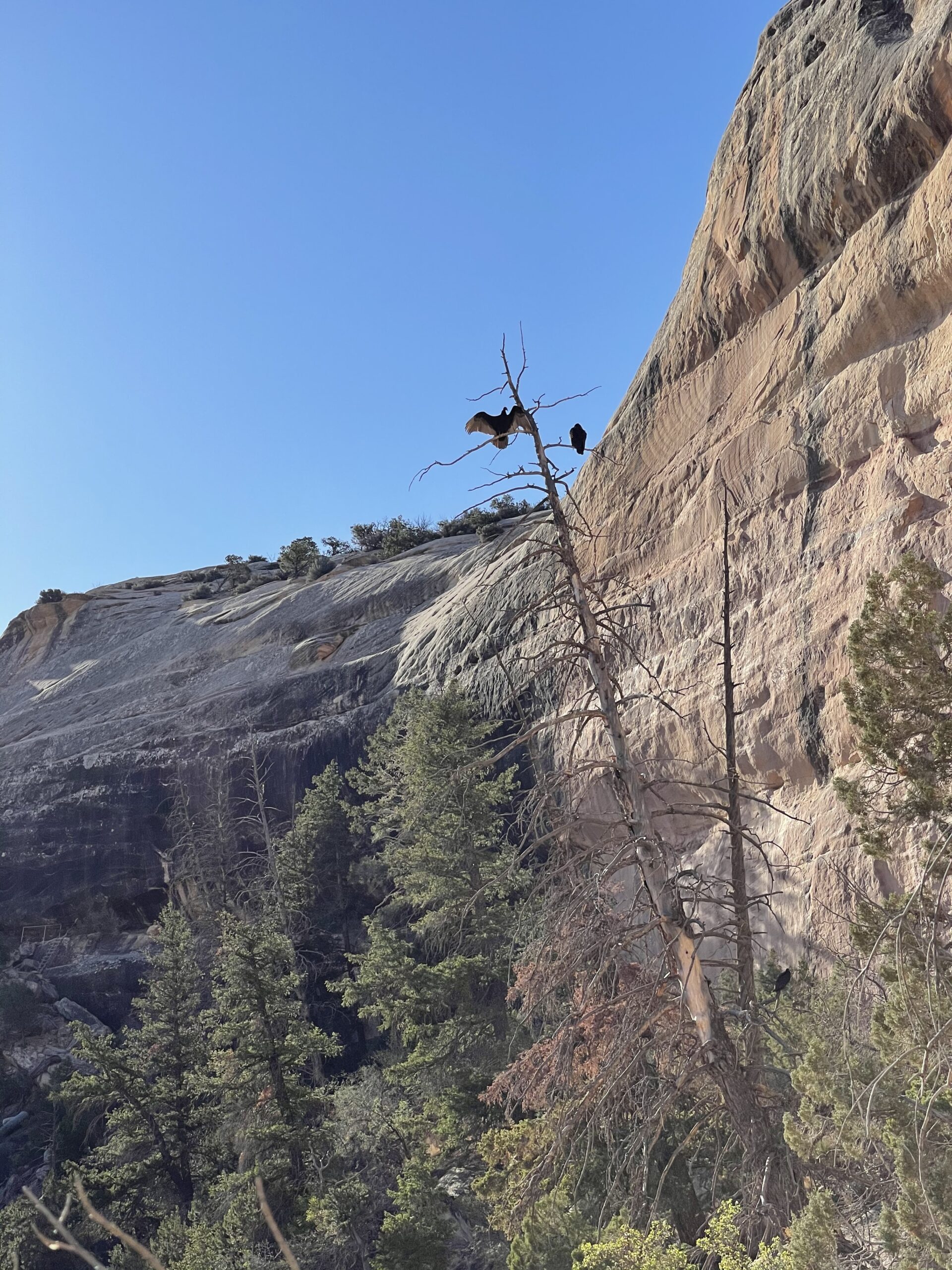
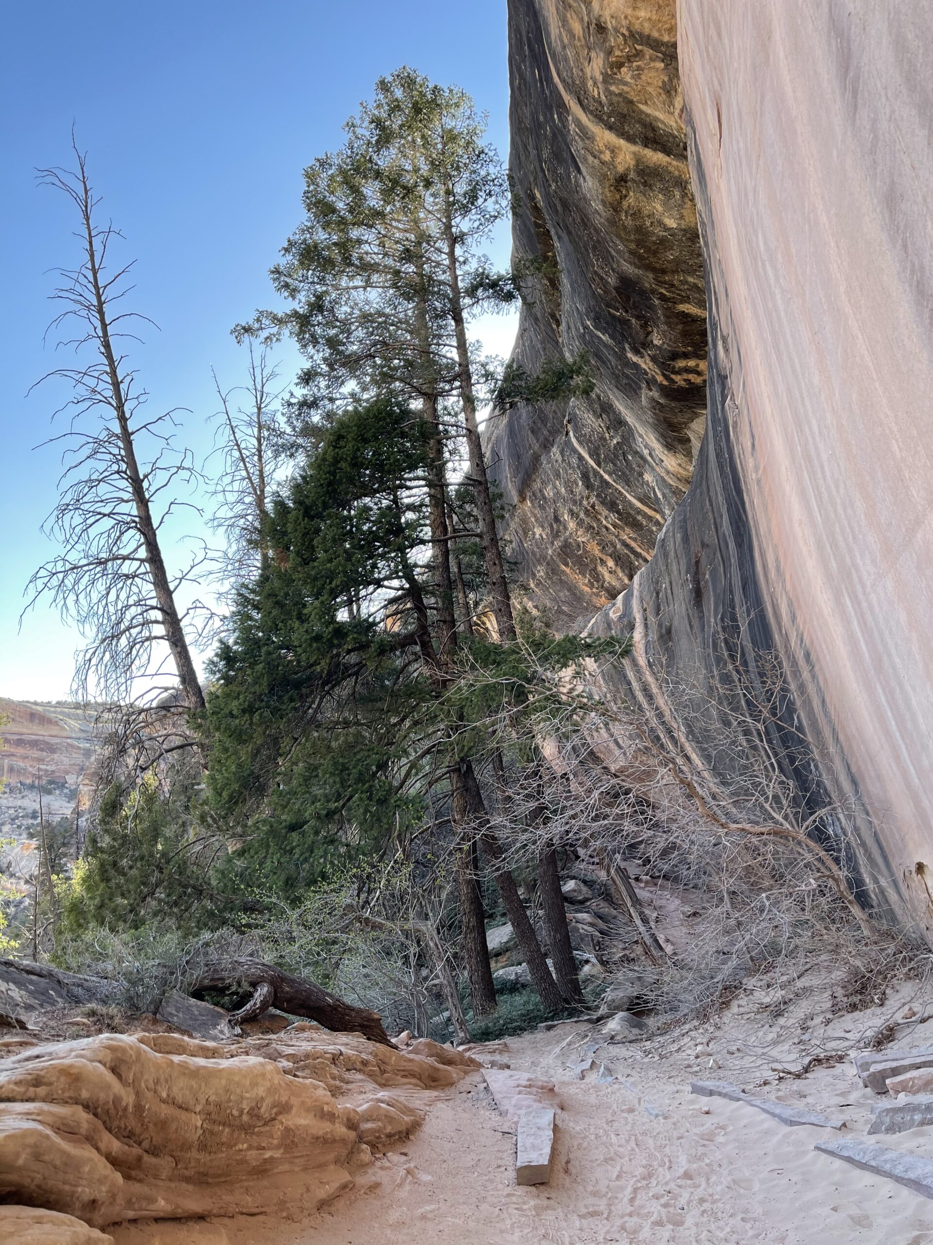
I hiked down to the first one, Sipapu bridge. The trip down was alright, about 0.6 miles one way with 600ft elevation change — the trip back up was a nightmare for my out of shape, flatlander ass. But I made it. Lots of buzzards, and questionable ladders, and panting.

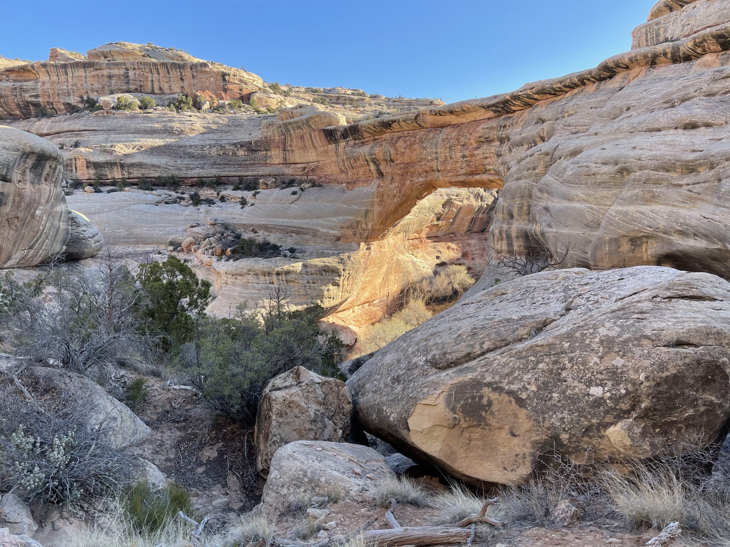
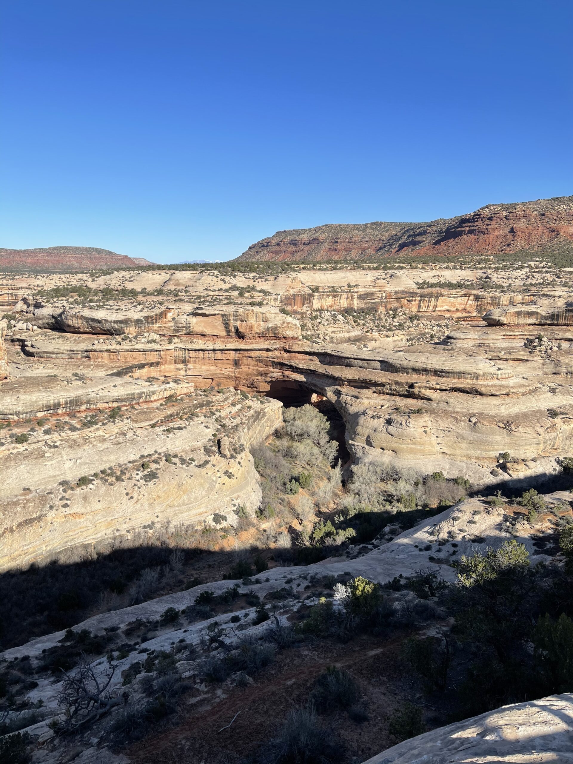
I just passed by the second, Kachina bridge.
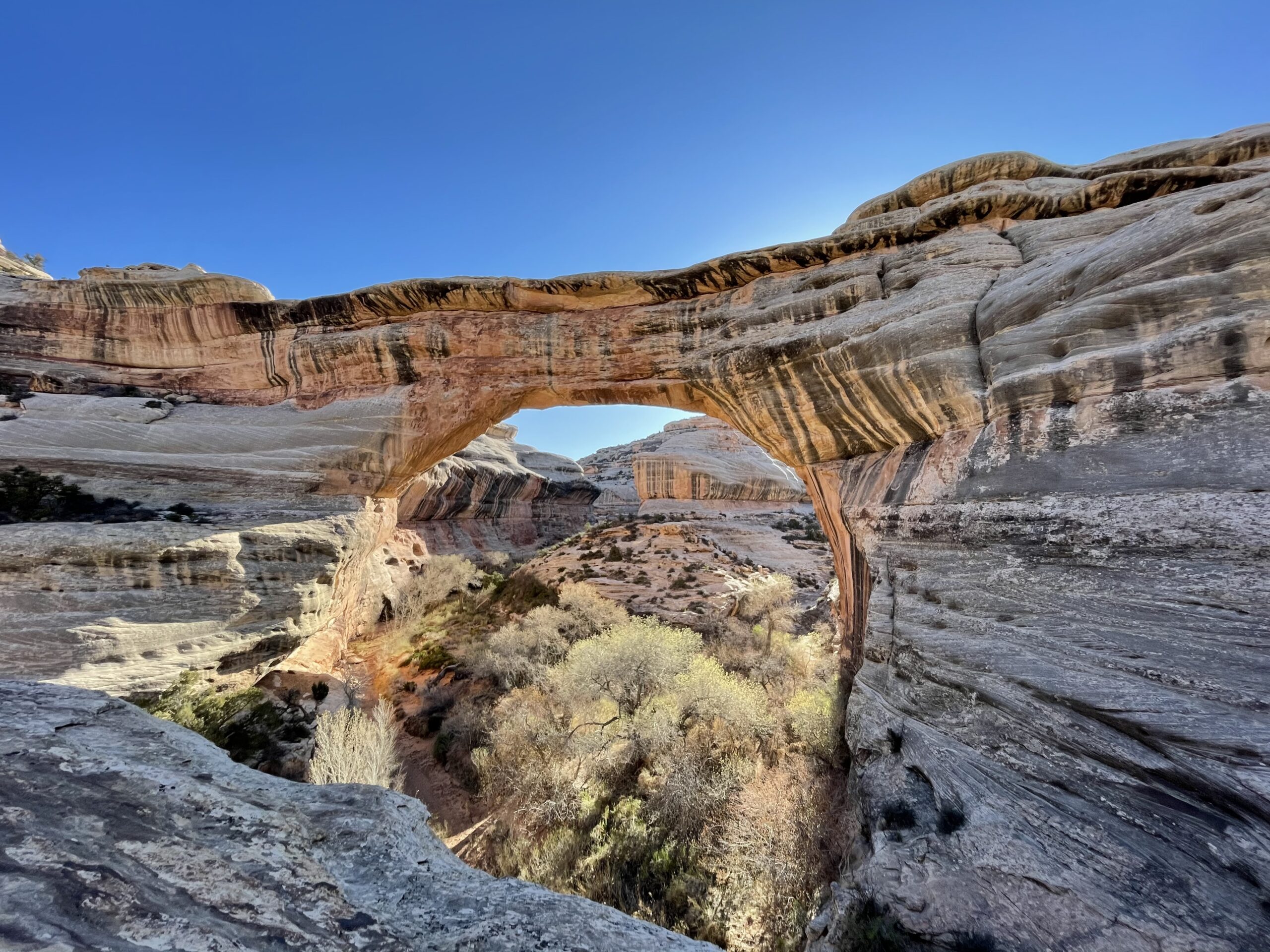
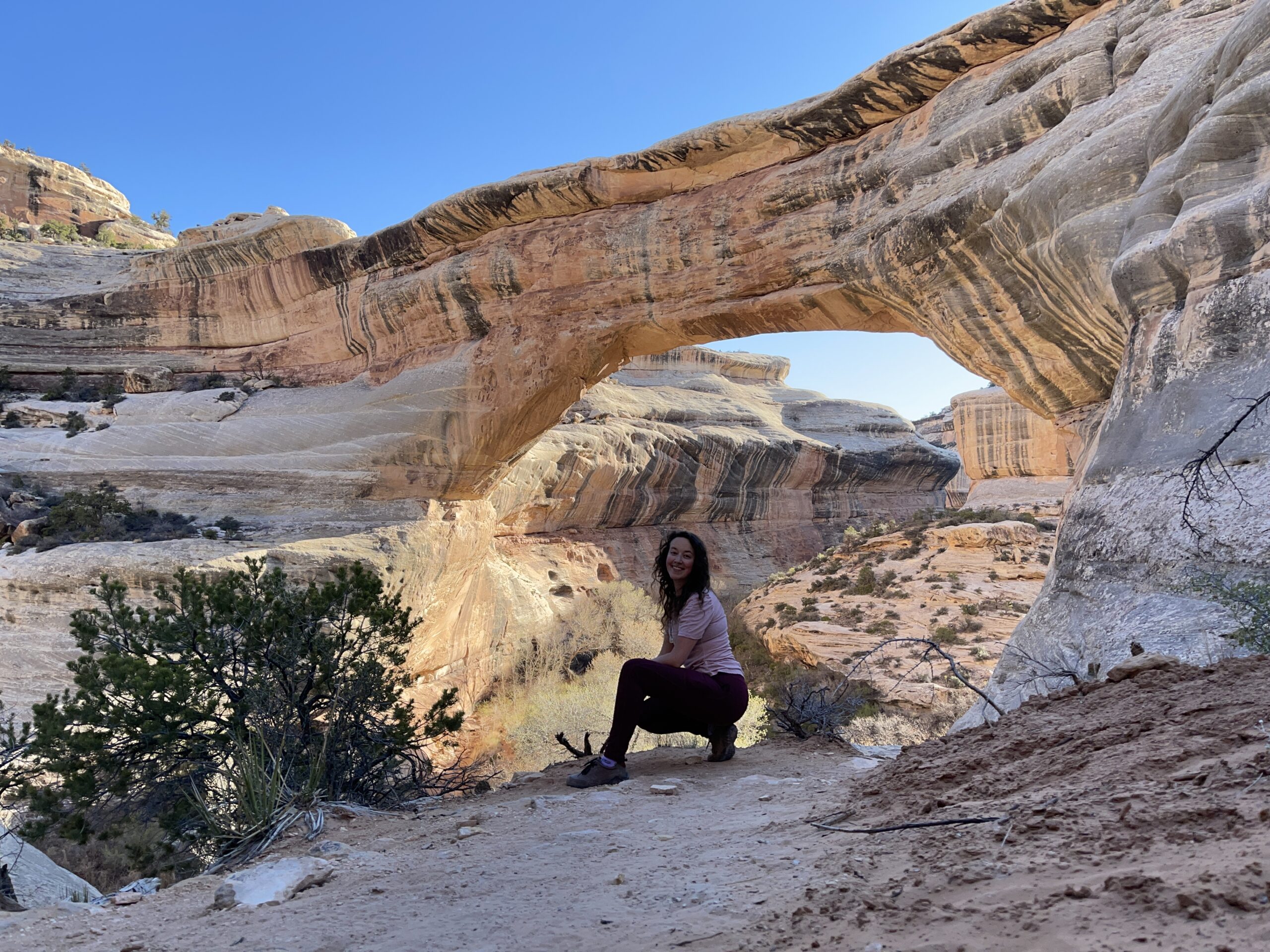
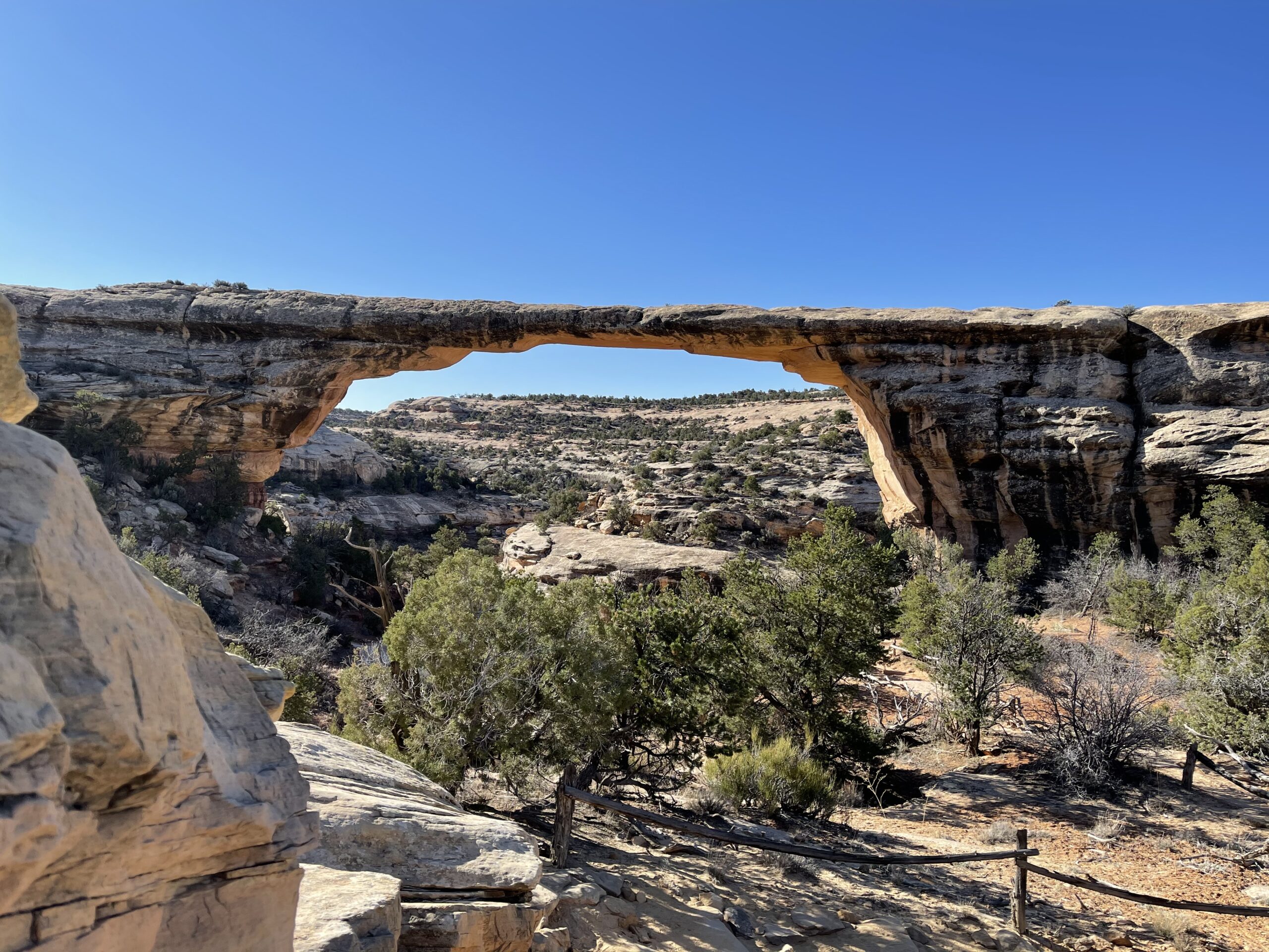
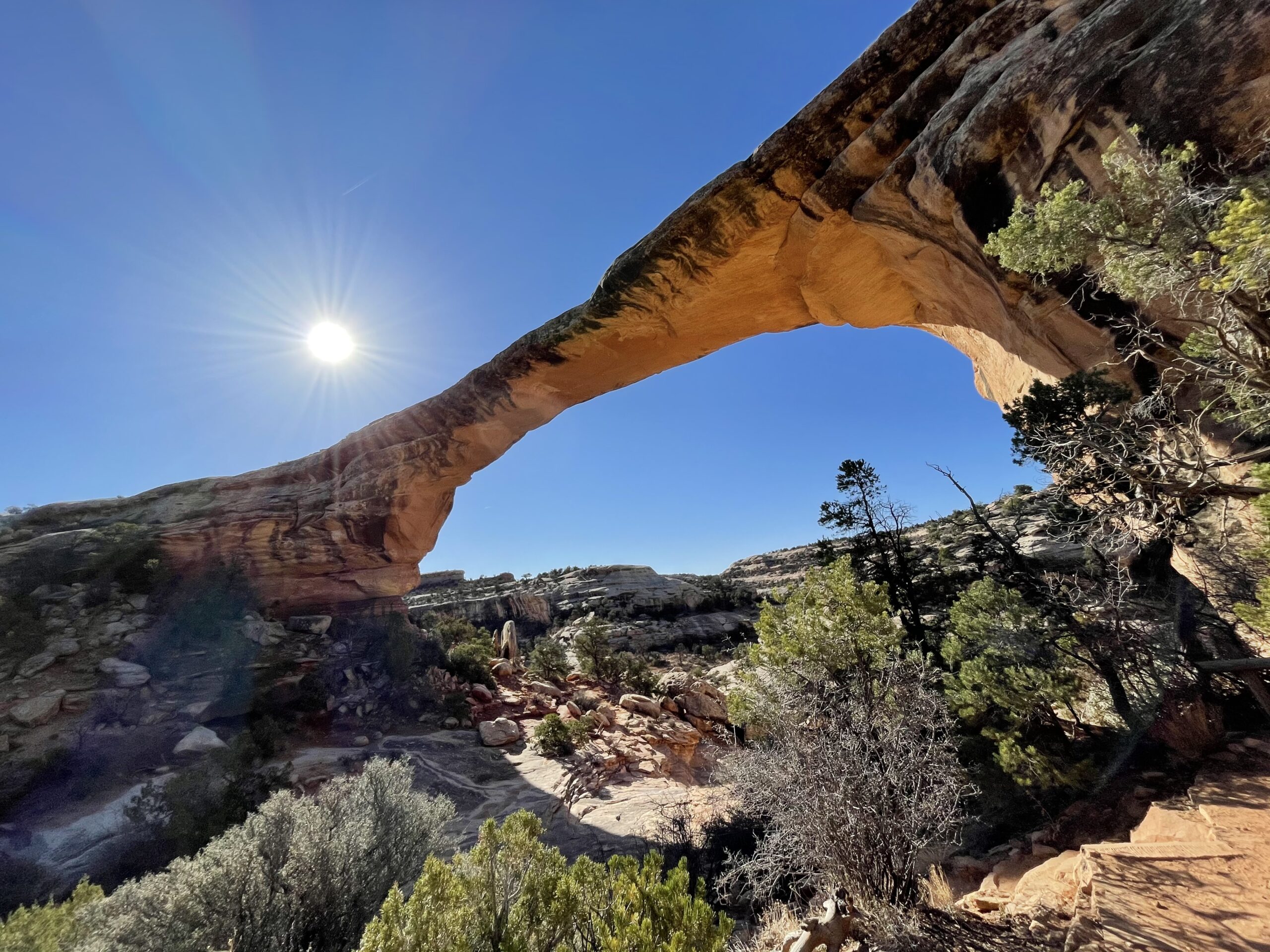
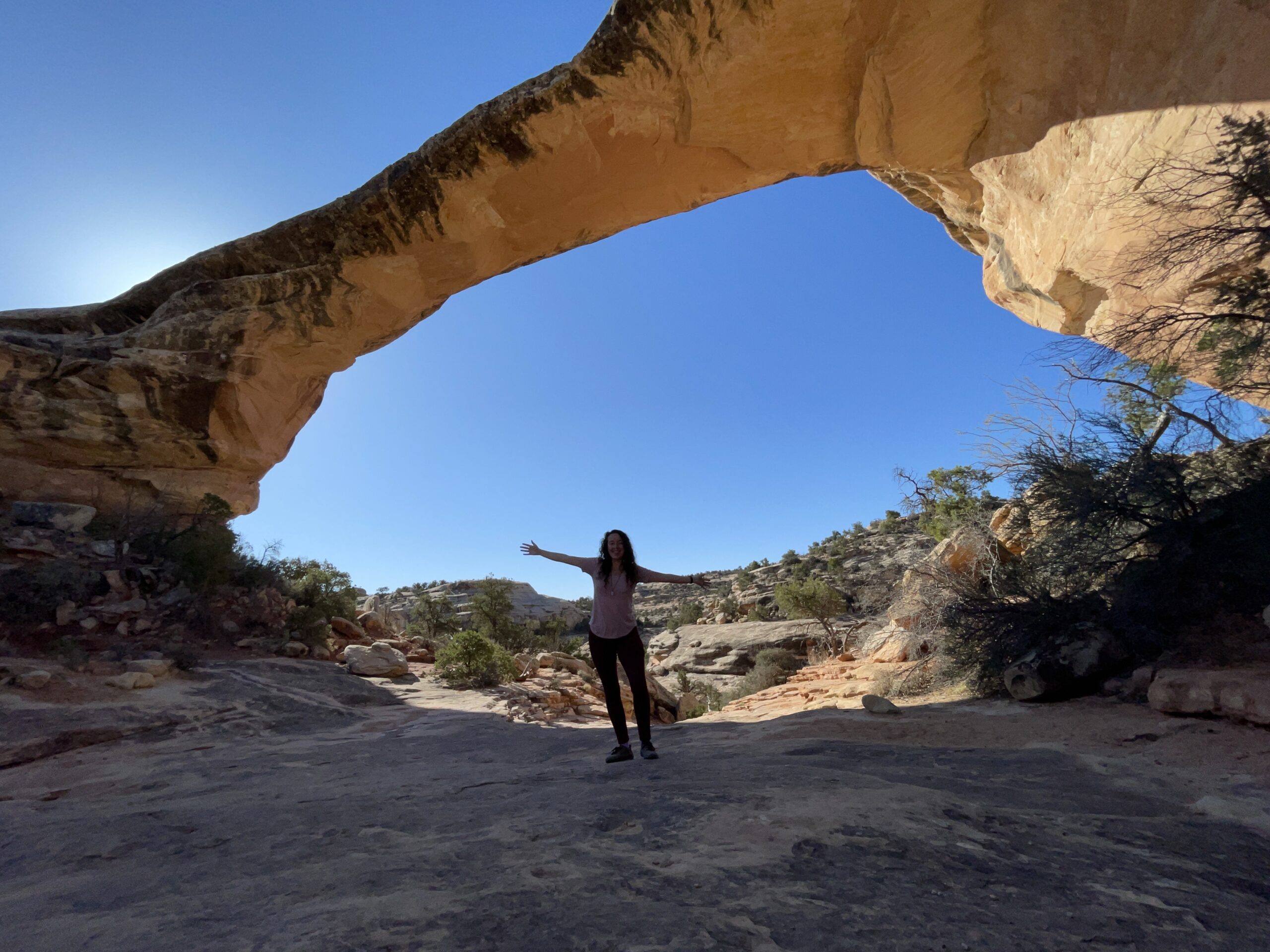
The final bridge promised an easier hike and I decided to go for it, while the sun was rising in the sky and the heat was mounting. I’m glad I did so I could check out the Owachomo bridge from all angles!

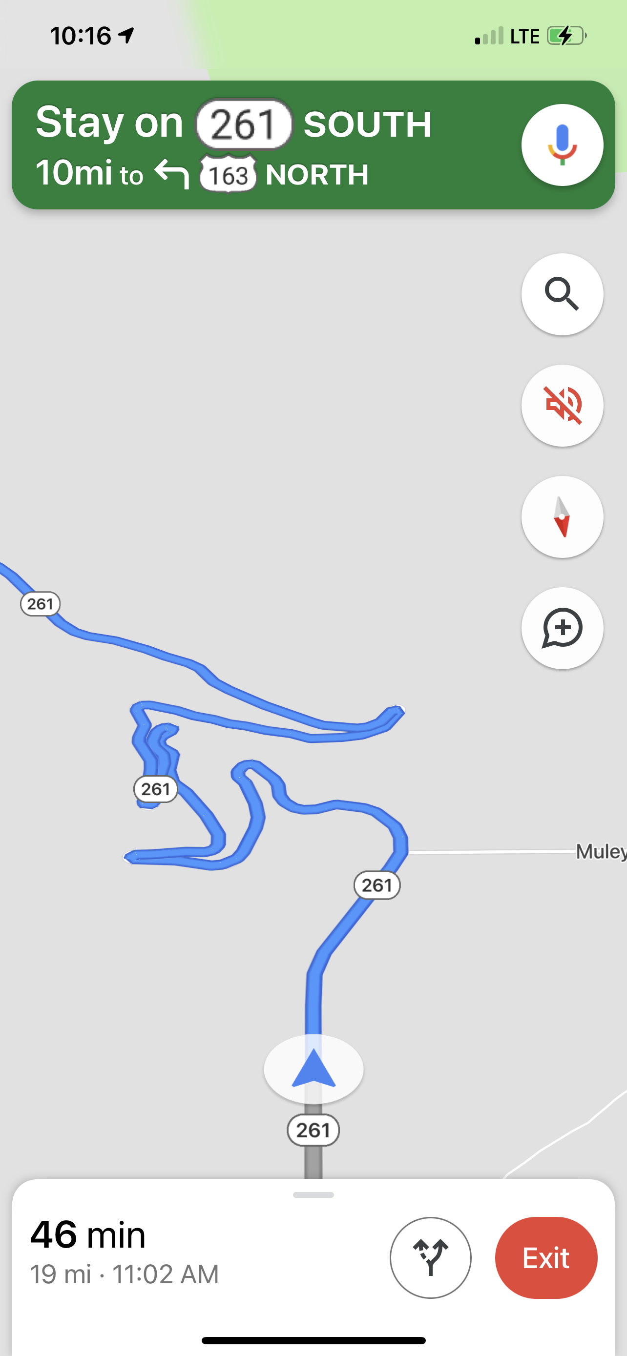
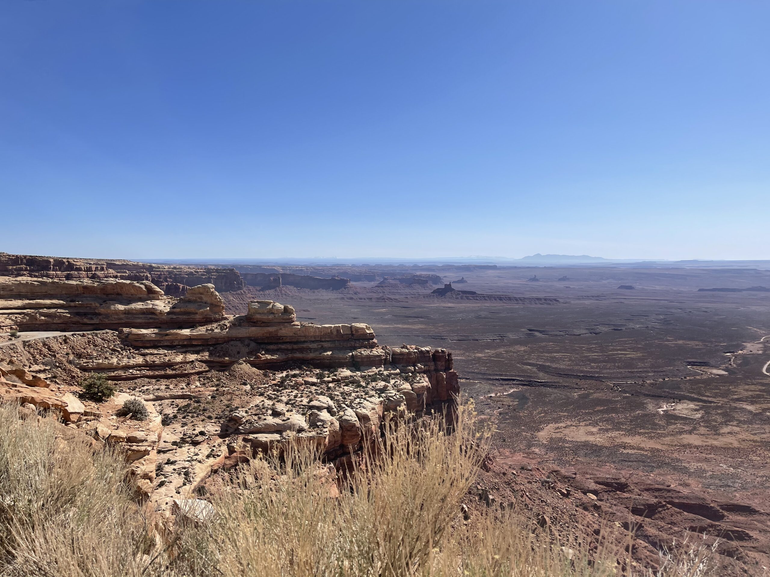
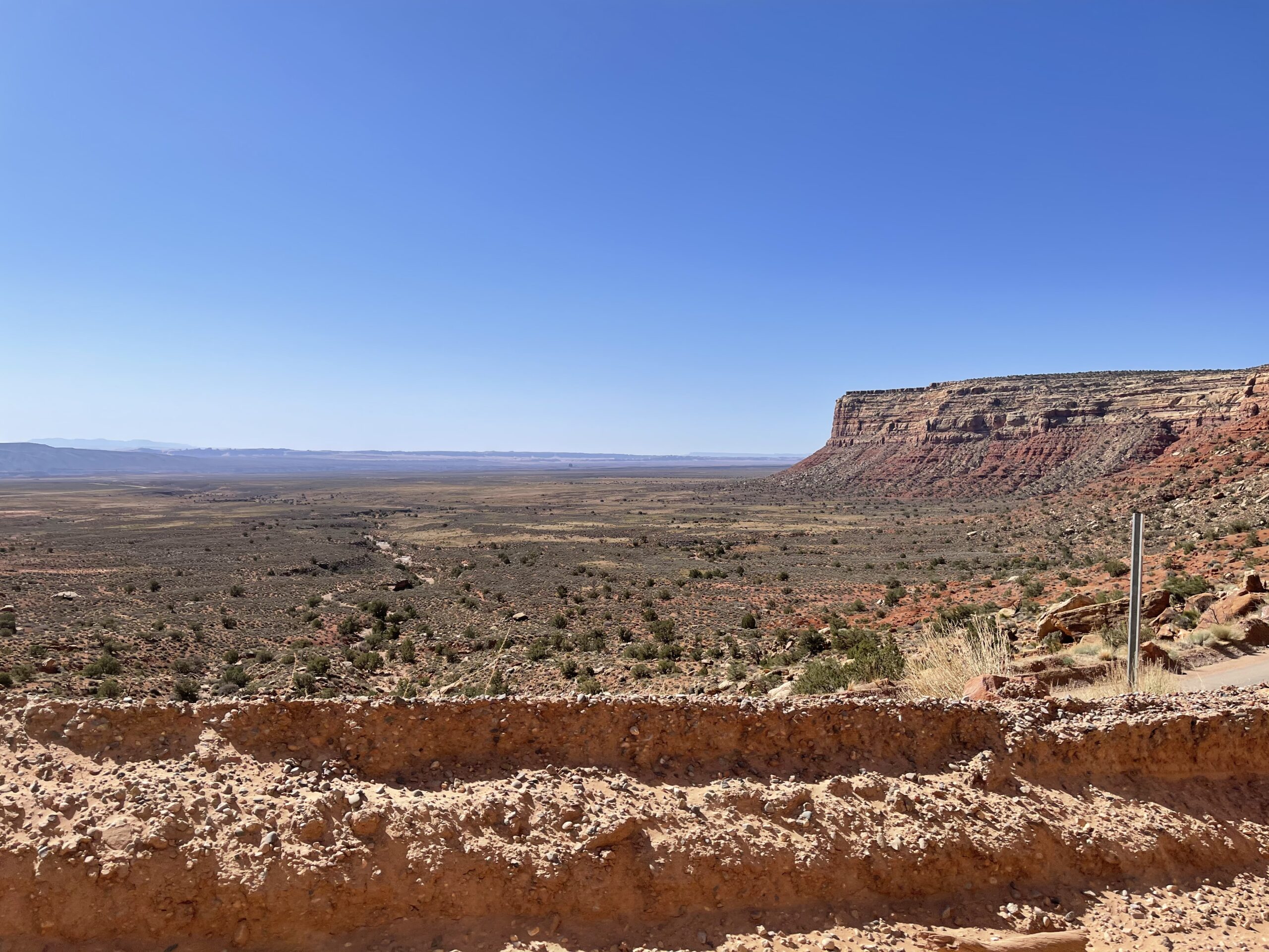
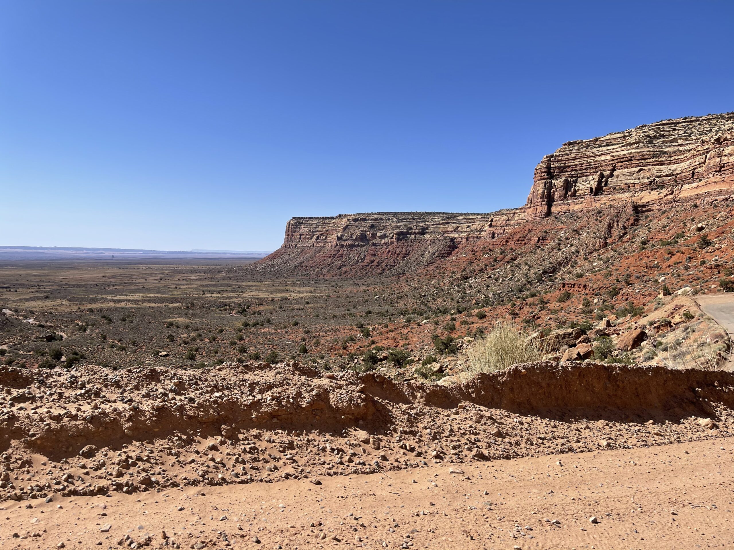
I continued southward out of the park down 261 south, a regular road that turns horrifying pretty quick when it turns to stone and you drive down these tight switchbacks down a mountain without much guardrail.

Aaaaaaaaaaaaaaaaaaaaaaa
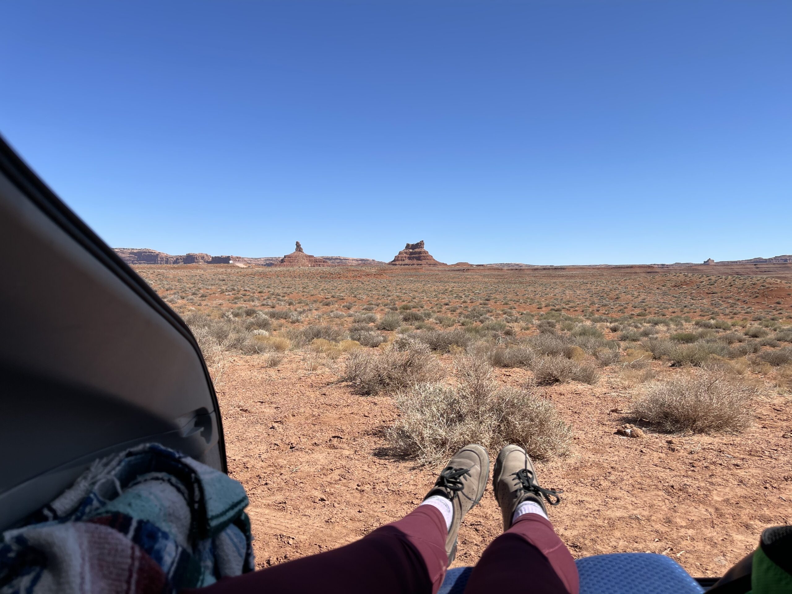
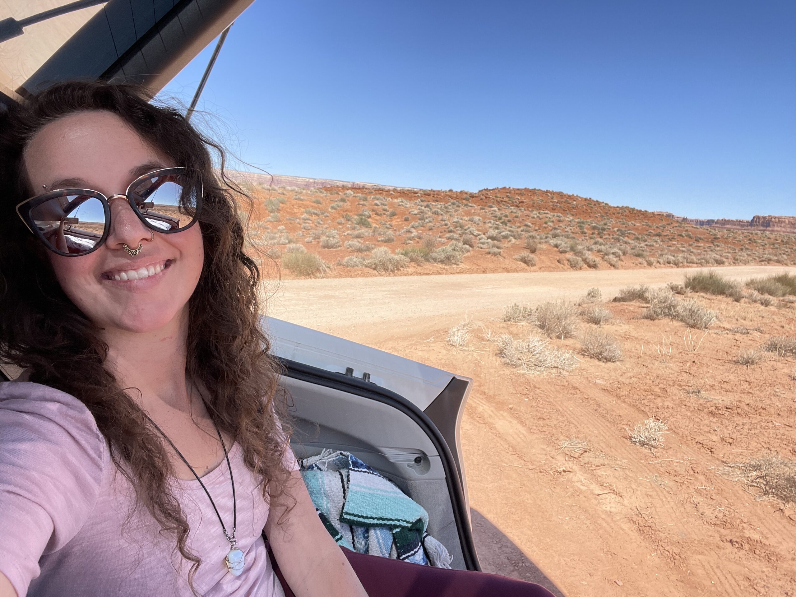
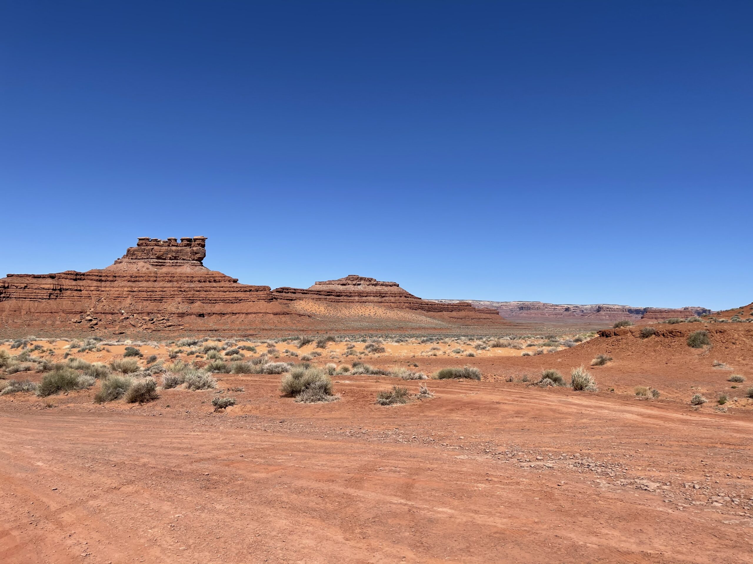
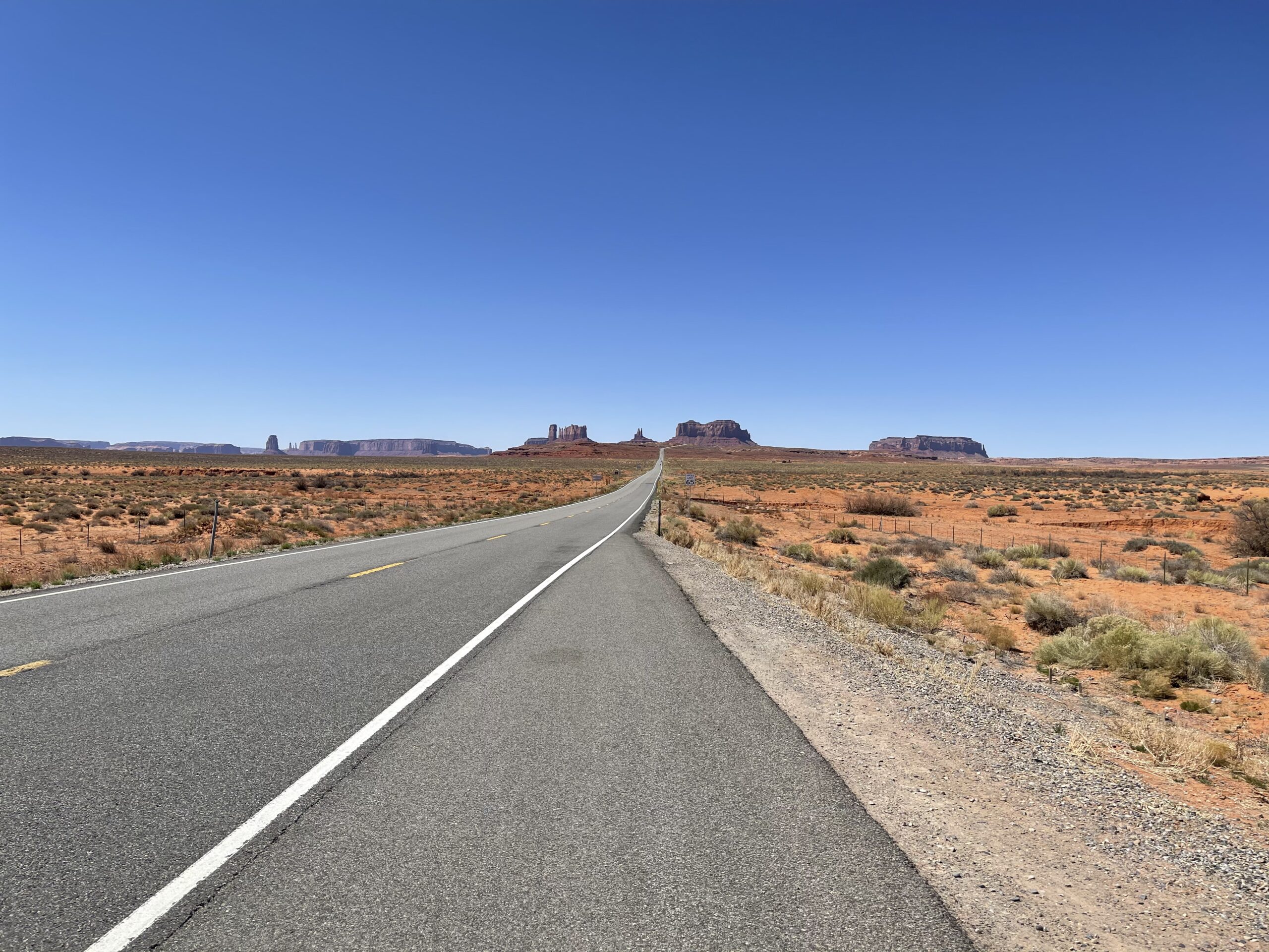
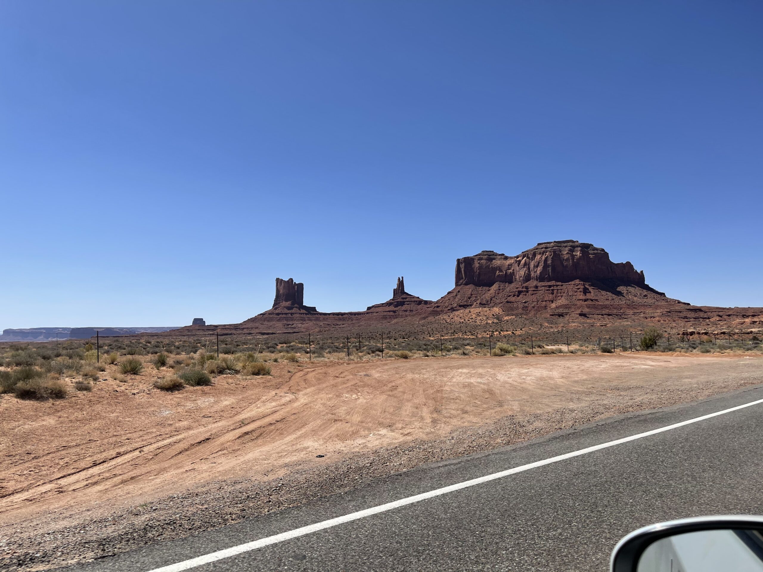
The drive offered fantastic views of Valley of the Gods, the San Juan river, and Monument Valley in the distance.


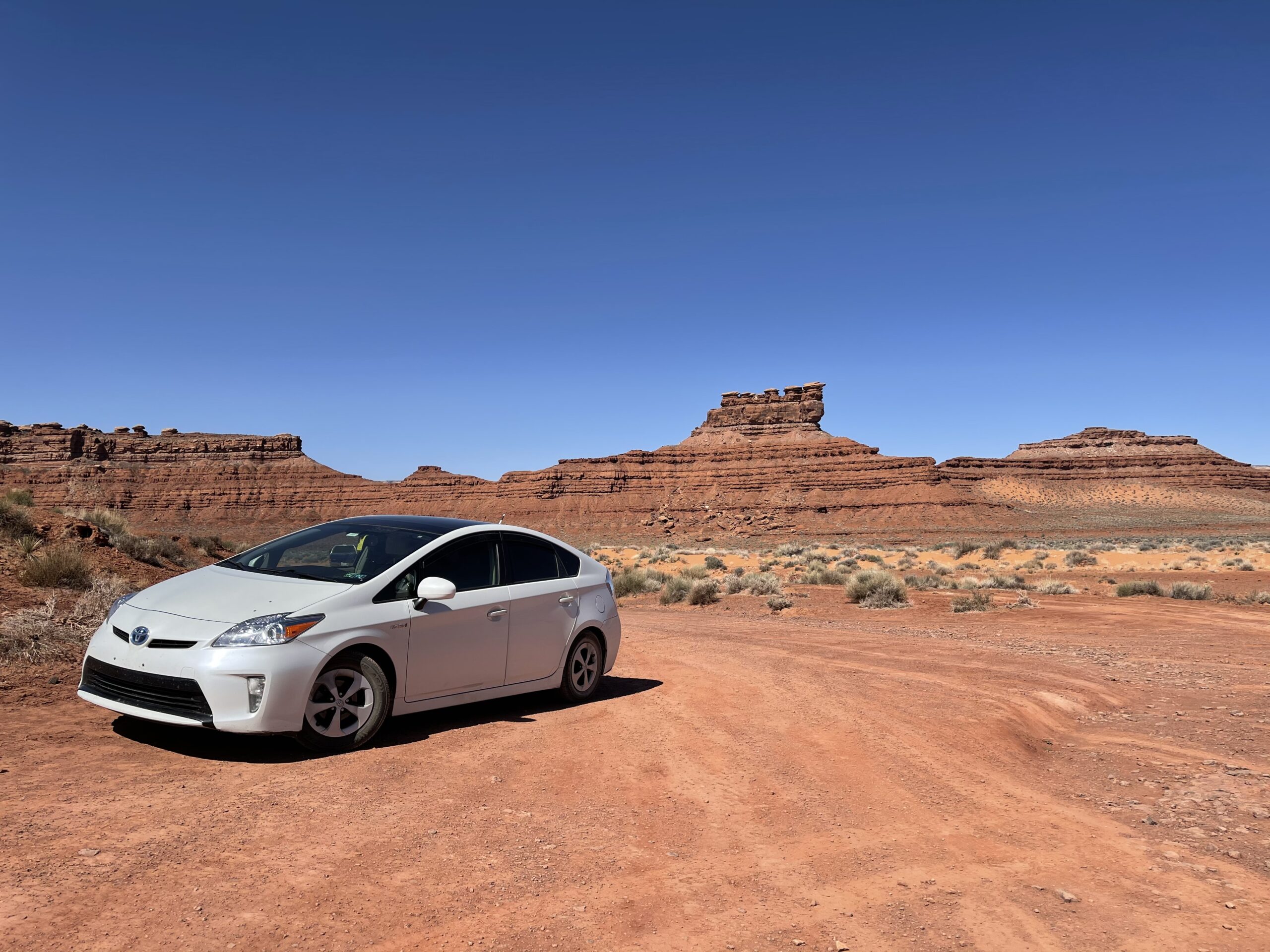
I made a quick stop at the aforementioned Valley of the Gods.
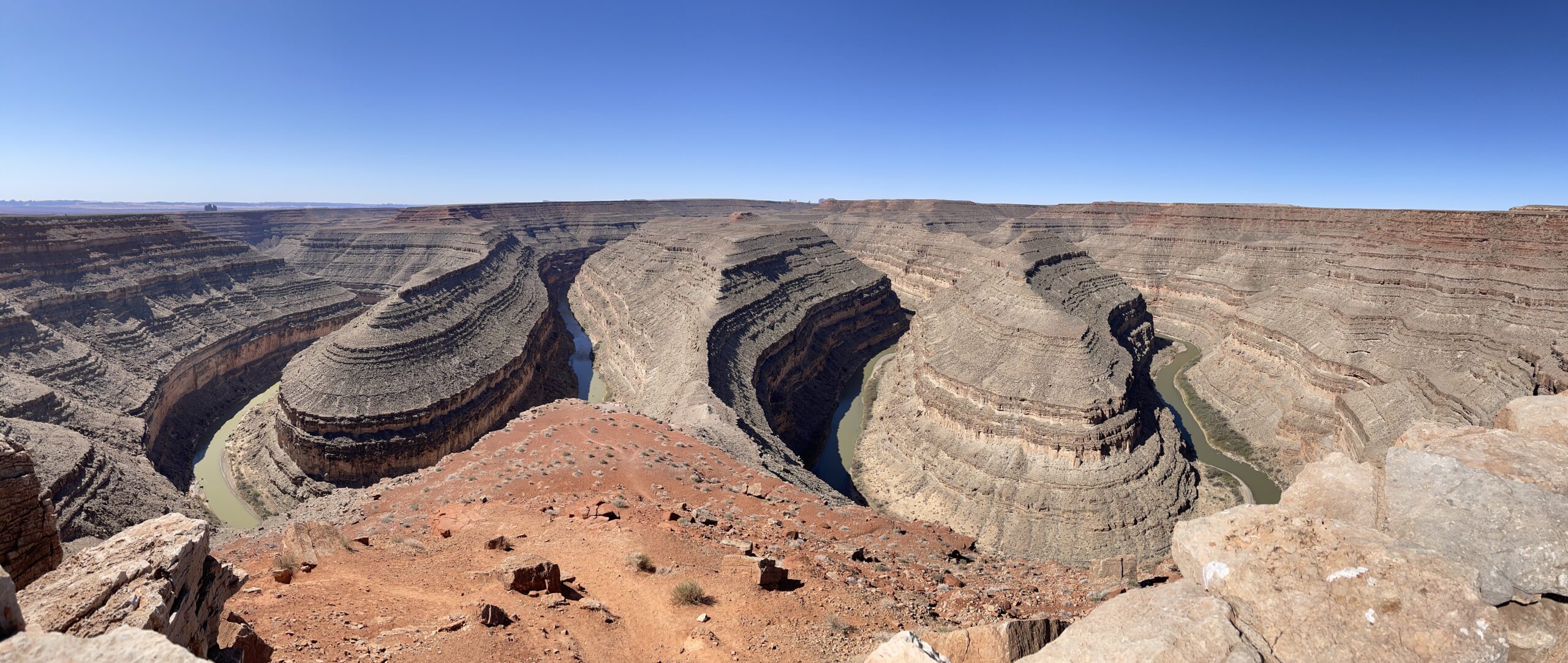
I also stopped to see the San Juan river twist and turn, lazily meandering at the Goosenecks State Park.


My trip in Utah ended as I passed over the border into Arizona at Monument Valley.
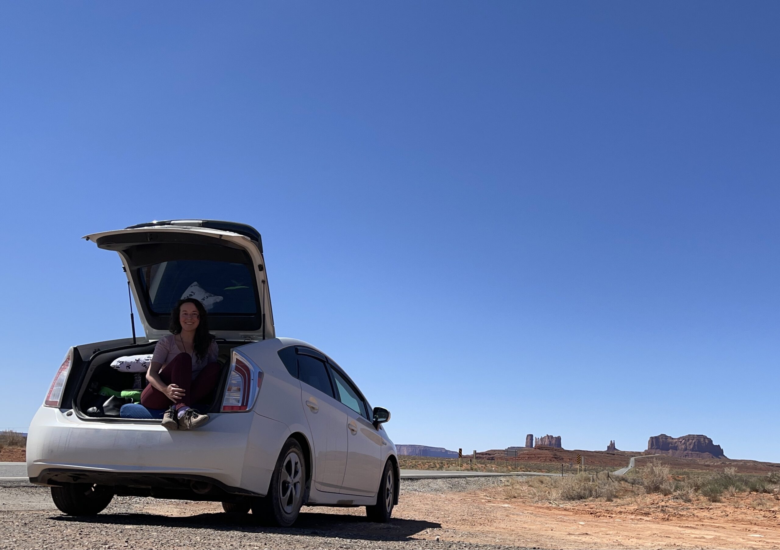
family photo

Until next time!